Near Mendon in Mercer County, Ohio — The American Midwest (Great Lakes)
Fort Adams
Anthony Wayne's lost fort
Inscription.
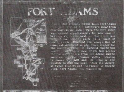
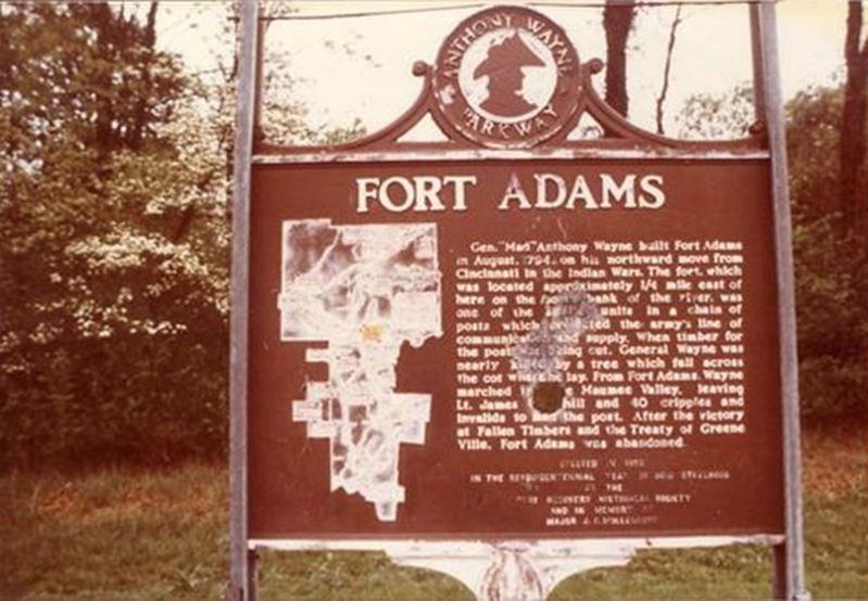
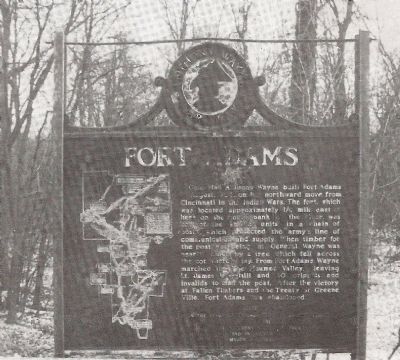
General Wayne built Fort Adams
in August, 1794, on his northward move from
Cincinnati in the Indian Wars. The fort, which
was located approximately ¼ mile east of
here, on the north bank of the river, was
one of the smaller units in a chain of
posts which protected the army’s line of
communication and supply. When timber for
the post was being cut, General Wayne was
nearly killed by a tree which fell across
the cot where he lay. From Fort Adams, Wayne
marched into the Maumee Valley, leaving
Lt. James Underhill and 40 cripples and
invalids to man the post. After the victory
at Fallen Timbers and the treaty of Greene
Ville, Fort Adams was abandoned.
Marker erected in the sesquicentennial year of Ohio Statehood by the Fort Recovery Historical Society and in memory of Major J. F. Mollenkopf
Erected 1953 by Fort Recovery Historical Society.
Topics. This historical marker is listed in this topic list: Wars, US Indian. A significant historical year for this entry is 1794.
Location. Marker is missing. It was located near 40° 40.837′ N, 84° 34.821′ W. Marker was near Mendon, Ohio, in Mercer County. Marker could be reached from U.S. 127. marker was approximately 1 ½ miles north of the intersection of US 33 and US 127 (small village of Mercer, Ohio), at the St. Mary’s River. Touch for map. Marker was in this post office area: Mendon OH 45862, United States of America. Touch for directions.
Other nearby markers. At least 8 other markers are within 4 miles of this location, measured as the crow flies. Roebuck (approx. 1.8 miles away); The Mendon C. H. & D. Rail & Depot (approx. 3.3 miles away); Union Township Civil War Memorial (approx. 3.3 miles away); Mendon-Union Township School Memorial (approx. 3.4 miles away); Rockford Bicentennial Historic Mural (approx. 3½ miles away); Veterans Memorial (approx. 3½ miles away); This church founded c 1838 (approx. 3.6 miles away); Rockford (approx. 3.6 miles away). Touch for a list and map of all markers in Mendon.
Additional commentary.
1. Fort location
My great grandfather owned a farm, adjacent to the Saint Marys, river and not far from the Fort Adams site. In 1965, the marker was still there, and my father and my brother and myself hiked back along the north side of the river, and we were able to locate the foundation i.e. embankment of the fort, I went back about 20 years later, and was unable to find the foundation as rubble had been dumped back in that area, and it obscured the embankments.
— Submitted November 3, 2023, by Bruce Krugh of Clarkston, Washington.
Additional keywords. part of the Anthony Wayne Parkway Series
Photographed By Rev. Ronald Irick, October 14, 2014
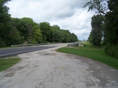
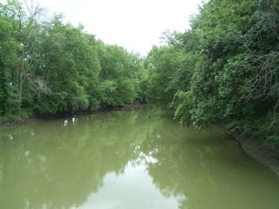
5. Site of Fort Adams
the St. Mary's River, from U.S. 127
from this point, Wayne's Army came out of the woods, and marched across prairies for several days before reaching the Auglaize. At this point Wayne was almost killed by a falling tree. He also perpetrated a "fake", leading the enemy to believe he was traveling west, before marching northeast.
Credits. This page was last revised on November 4, 2023. It was originally submitted on November 2, 2014, by Rev. Ronald Irick of West Liberty, Ohio. This page has been viewed 2,555 times since then and 293 times this year. Photos: 1. submitted on November 2, 2014, by Rev. Ronald Irick of West Liberty, Ohio. 2. submitted on March 10, 2018, by Al Smitley of Hartland, Michigan. 3, 4, 5. submitted on November 2, 2014, by Rev. Ronald Irick of West Liberty, Ohio. • Al Wolf was the editor who published this page.
