Shoshone in Inyo County, California — The American West (Pacific Coastal)
Shoshone
Photographed by Craig Baker, 2017
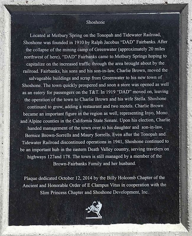
1. Shoshone Marker
Located at Metbury Spring on the Tonopah and Tidewater Railroad, Shoshone was founded in 1910 by Ralph Jacobus "DAD" Fairbanks. After the collapse of the mining camp of Greenwater (approximately 20 miles northwest of here), "DAD" Fairbanks came to Metbury Springs hoping to capitalize on the increased traffic through the area brought about by the railroad. Fairbanks, his sons and his son-in-law, Charlie Brown, moved the salvagable buildings and scrap from Greenwater to his new town of Shoshone. The town quickly prospered and soon a store was opened as well as an eatery for passengers on the T&T. In 1919 "DAD" moved on, leaving the operation of the town to Charlie Brown and his wife Stella. Shoshone continued to grow, adding a restaurant and two motels. Charlie Brown became an important figure in the region as well, representing Inyo, Mono and Alpine counties in the California State Senate. Upon his election, Charlie Brown handed management of the town over to his daughter and son-in-law, Bernice Brown-Sorrells and Maury Sorrells. Even after the Tonopah and Tidewater Railroad discontinued operations in 1941, Shoshone continued
this page online
Erected 2014 by Billy Holcomb Chapter No. 1069 and Slim Princess Chapter No. 395 E Clampus Vitus, and Shoshone Dev. Co., Inc,. (Marker Number 152.)
Topics and series. This historical marker is listed in these topic lists: Railroads & Streetcars • Settlements & Settlers. In addition, it is included in the E Clampus Vitus series list. A significant historical year for this entry is 1910.
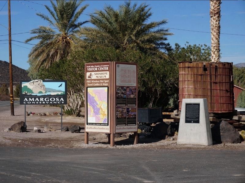
Location. 35° 58.493′ N, 116° 16.2′ W. Marker is in Shoshone, California, in Inyo County. It is on California Route 178, on the right when traveling north. Marker is located in front of the Museum Gift Shop Visitor Center. Touch for map. Marker is in this post office area: Shoshone CA 92384, United States of America. Touch for directions.

Regionally, this marker is in California’s Sierra Nevada. It is also in the American Mountain West. Globally, it is in North America, on the Ring of Fire, on the Pacific Rim, in the Western Hemisphere, in the
Photographed by Craig Baker, 2017
2. Shoshone Marker
Other nearby markers. At least 3 other markers are within 16 miles of this marker, measured as the crow flies: Dublin Gulch (about 800 feet away, measured in a direct line); China Ranch (approx. 12.8 miles away); Original Tecopa Town Site (approx. 15.4 miles away).
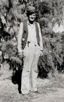
3. RJ "Dad" Fairbanks
Photographed by Michael Kindig, October 12, 2014
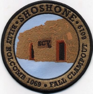
4. Dedication Patch
Billy Holcomb 1069
Fall Clampout 6019
Credits. This page was last revised on May 26, 2026. It was originally submitted on October 12, 2014, by Michael Kindig of Elk Grove, California. This page has been viewed 985 times since then and 53 times this year. Last updated on November 3, 2014, by Michael Kindig of Elk Grove, California. Photos: 1, 2. submitted on October 25, 2020, by Craig Baker of Sylmar, California. 3. submitted on October 12, 2014, by Michael Kindig of Elk Grove, California. 4. submitted on October 28, 2014, by Michael Kindig of Elk Grove, California. • Syd Whittle was the editor who published this page.
