Victorville in San Bernardino County, California — The American West (Pacific Coastal)
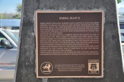
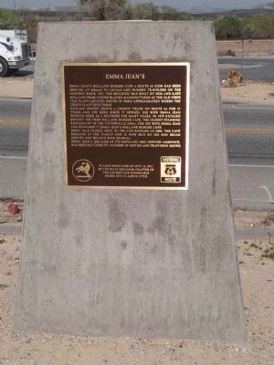
Emma Jean's
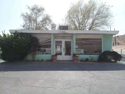
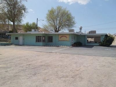
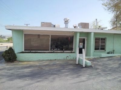
Richard Gentry drove a cement truck on Route 66 for 31 years and ate here since it opened. His wife Emma Jean worked here as a waitress for many years. In 1979 Richard bought the then Holland Burger Cafe, the oldest standing restaurant in the Victorville area, for his wife Emma Jean and re-named it Emma Jean's Holland Burger Café.
Emma Jean passed away in 1996 and Richard in 2008. The café remains in the family and is now run by his son Brian Gentry and Brian's wife Shawna.
Emma Jean's, because of its nostalgic mid century ambience, has been featured in a number of movies and television shows.
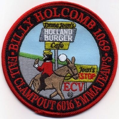
Erected 2011 by Billy Holcomb Chapter No. 1069 of the Ancient and Honorable Order of E Clampus Vitus. (Marker Number 142.)
Topics and series. This historical marker is listed in these topic lists: Industry & Commerce • Notable Buildings. In addition, it is included in the E Clampus Vitus, and the U.S. Route 66 series lists. A significant historical year for this entry is 1947.
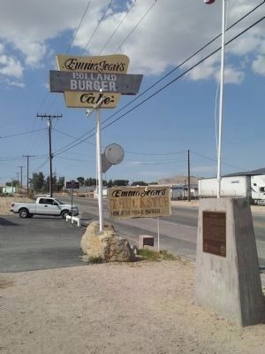
Location. 34° 33.673′ N, 117° 18.804′ W. Marker is in Victorville, California, in San Bernardino County. Marker is on National Trails Highway, on the right when traveling south. Touch for map. Marker is at or near this postal address: 17143 D Street, Victorville CA 92394, United States of America. Touch for directions.
Other nearby markers. At least 8 other markers are within 8 miles of this marker, measured as the crow flies. Mojave River Crossing (approx. 1½ miles away); Lane's Crossing (approx. 1½ miles away); California Route 66 Museum, Victorville, California (approx. 2 miles away); Mormon Springs (approx. 2.2 miles away); Old Town Victorville Veterans Memorial (approx. 2.2 miles away); Family Home of B.J. Westlund, then Roy Rogers (approx. 5.2 miles away); Thorn Train Siding (approx. 6½ miles away); John Brown Road at The Mojave Trail (approx. 8.1 miles away). Touch for a list and map of all markers in Victorville.
Credits. This page was last revised on June 16, 2016. It was originally submitted on January 9, 2012, by Michael Kindig of Elk Grove, California. This page has been viewed 1,219 times since then and 57 times this year. Last updated on November 3, 2014, by Michael Kindig of Elk Grove, California. Photos: 1. submitted on January 9, 2012, by Michael Kindig of Elk Grove, California. 2, 3, 4, 5, 6, 7. submitted on March 28, 2013, by Richard Hawkins of Phelan, California. 8. submitted on January 9, 2012, by Michael Kindig of Elk Grove, California. • Bill Pfingsten was the editor who published this page.
