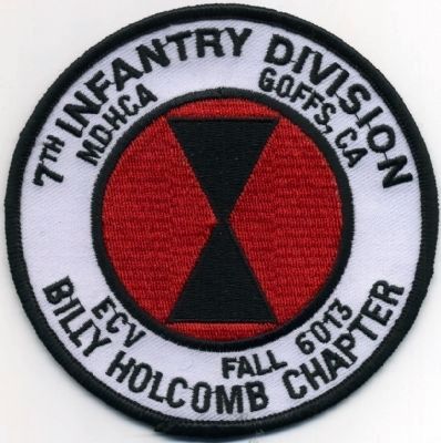
Goffs in San Bernardino County, California — The American West (Pacific Coastal)
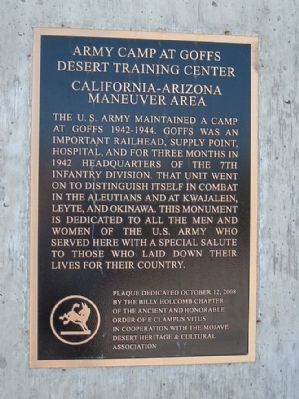
Army Camp at Goffs
Desert Training Center
— California-Arizona Maneuver Area —
Erected 2008 by Billy Holcomb Chapter E Clampus Vitus in cooperation with the Mojave Desert Heritage & Cultural Association. (Marker Number 136.)
Topics and series. This historical marker is listed in these topic lists: Military • Notable Places • War, World II. In addition, it is included in the Desert Training Center, and the E Clampus Vitus series lists. A significant historical year for this entry is 1942.
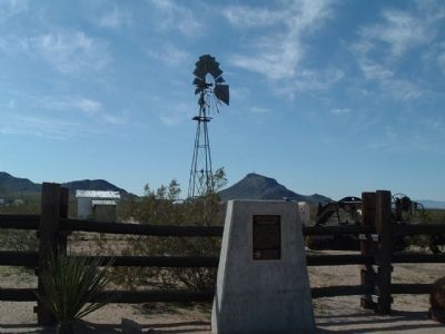
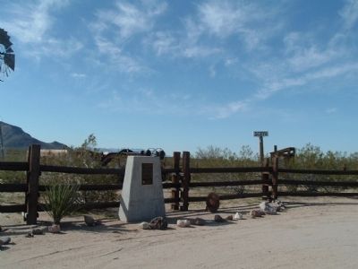
Location. 34° 55.252′ N, 115° 4.013′ W. Marker is in Goffs, California, in San Bernardino County. Marker is on Lanfair Road, 0.1 miles north of Goffs Road, on the left when traveling north. Touch for map. Marker is in this post office area: Essex CA 92332, United States of America. Touch for directions.
Other nearby markers. At least 6 other markers are within 15 miles of this marker, measured as the crow flies. Goffs Schoolhouse (a few steps from this marker); a different marker also named Goffs Schoolhouse (about 300 feet away, measured in a direct line); Pah-Ute Creek (about 300 feet away); John Wilkie Safety Roadside Rest Area At Fenner (approx. 11˝ miles away); Clipper Divisional Camp (approx. 11.7 miles away); Fort Pah-Ute (approx. 14.2 miles away).
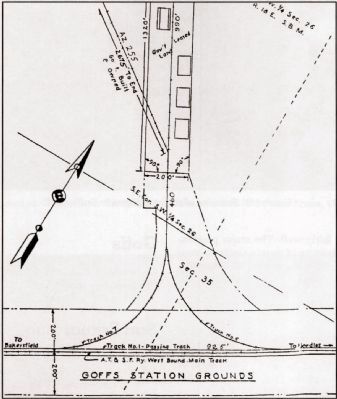
Also see . . . Historic California Posts: Camp Goffs. Goffs Army Ammuntion Depot, Goffs Rifle Range, Goffs Army Air Field (Submitted on December 30, 2011, by Michael Kindig of Elk Grove, California.)
Credits. This page was last revised on June 16, 2016. It was originally submitted on April 3, 2010, by Bill Kirchner of Tucson, Arizona. This page has been viewed 1,870 times since then and 37 times this year. Last updated on November 3, 2014, by Michael Kindig of Elk Grove, California. Photos: 1, 2, 3. submitted on April 3, 2010, by Bill Kirchner of Tucson, Arizona. 4. submitted on December 30, 2011, by Michael Kindig of Elk Grove, California. 5. submitted on May 8, 2012, by Michael Kindig of Elk Grove, California. • Bill Pfingsten was the editor who published this page.
