Indio in Riverside County, California — The American West (Pacific Coastal)
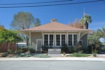
1909 Indio Schoolhouse
Photographed by Denise Boose, November 9, 2019
1. 1909 Indio Schoolhouse Marker
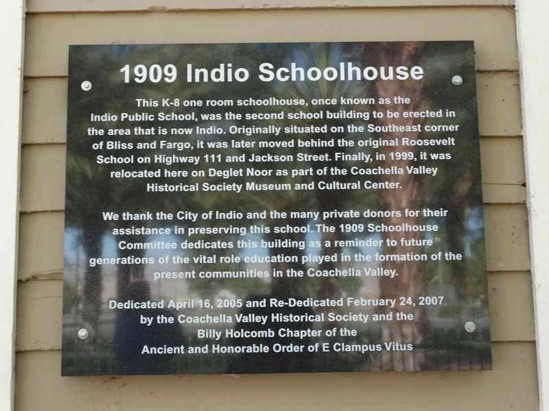
The Indio Schoolhouse Marker replaced with another. Same text.
We thank the City of Indio and the many private donors for their assistance in preserving this school. The 1909 Schoolhouse Committee dedicates this building as a reminder to the future generations of the vital role education played in the formation of the present communities in the Coachella Valley.
Erected 2005 by Coachella Valley Historical Society and the Billy Holcomb Chapter of the Ancient and Honorable Order of E Clampus Vitus. (Marker Number 131.)
Topics and series. This historical marker is listed in these topic lists: Education • Notable Buildings. In addition, it is included in the E Clampus Vitus series list. A significant historical year for this entry is 1999.
Location. Marker has been reported missing. It
this page online

Regionally, this marker was in Greater Los Angeles, in the Coachella Valley, and in the Peninsular Ranges. It was also in the American Southwest. Globally, it was in North America, on the Ring of Fire, on the Pacific Rim, in the Western Hemisphere, in the Western World, and in the Anglosphere. Historically, it found itself in what was once New Spain and also Mexico’s Alta California.
Other nearby markers. At least 8 other markers are within 5 miles of this location, measured as the crow flies: USS Liberty Tree - USN Captain William L. McGonagle (about 300 feet away, measured in a direct line); Smiley Place (about 300 feet away); Dr. June Robertson McCarroll (approx. 0.4 miles away); History of Electricity in the Coachella Valley (approx.
Photographed by Michael Kindig, January 13, 2011
2. 1909 Indio Schoolhouse Marker
Original marker
Another marker is no longer nearby. Jimmy Swaggart's "Date" (was approx. 0.6 miles away but has been confirmed missing).
Photographed by Michael Kindig, January 13, 2011
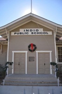
3. Indio Public School
Photographed by Michael Kindig, January 13, 2011
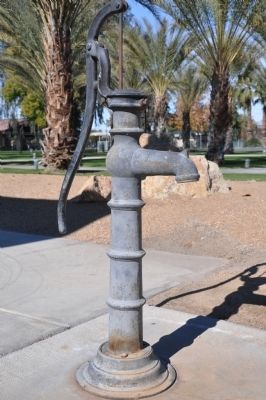
4. Water Pump
Photographed by Michael Kindig, January 13, 2011
5. 1909 Schoolhouse
Photographed by Michael Kindig, January 13, 2011
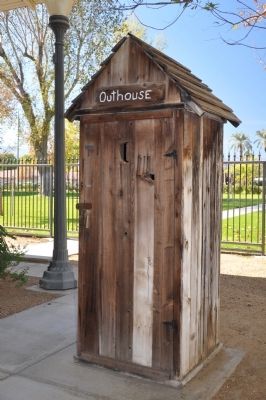
6. Outhouse
Credits. This page was last revised on November 17, 2019. It was originally submitted on January 19, 2012, by Michael Kindig of Elk Grove, California. This page has been viewed 1,460 times since then and 67 times this year. Last updated on November 3, 2014, by Michael Kindig of Elk Grove, California. Photos: 1. submitted on November 16, 2019, by Denise Boose of Tehachapi, California. 2, 3, 4, 5, 6. submitted on January 19, 2012, by Michael Kindig of Elk Grove, California. • Bill Pfingsten was the editor who published this page.
