Sonoma in Sonoma County, California — The American West (Pacific Coastal)
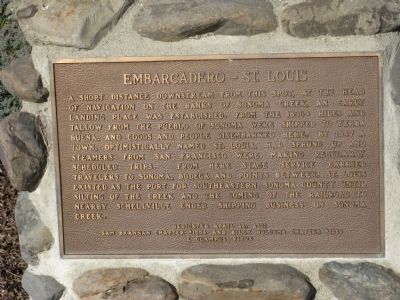
Embarcadero – St. Louis
Photographed by Syd Whittle, January 10, 2009
1. Embarcadero – St. Louis Marker
Erected 2001 by Sam Brannan Chapter No, 1004 and Billy Holcomb Chapter No.1069, E Clampus Vitus. (Marker Number 105.)
Topics and series. This historical marker is listed in these topic lists: Industry & Commerce • Notable Places • Settlements & Settlers • Waterways & Vessels. In addition, it is included in the E Clampus Vitus series list. A significant historical date for this entry is April 28, 1942.
Location. 38° 14.616′ N,
this page online

Regionally, this marker is in California’s Wine Country, in the San Francisco Bay Area, in the North Coast, and specifically on the Coast Ranges. It is also on the American Pacific Coast. Globally, it is in North America, on the Ring of Fire, on the Pacific Rim, in the Western Hemisphere, in the Western World, and in the Anglosphere. Historically, it finds itself in what was once New Spain and also Mexico’s Alta California.
Other nearby markers. At least 8 other markers are within 4 miles of this marker, measured as the crow flies: A different marker also named The Last Mission (approx. 2.2 miles away); Mission San Francisco Solano de Sonoma (approx. 2.2 miles away); Temelec Hall (approx. 3.2 miles away); a different marker also named Temelec Hall
Photographed by Syd Whittle, January 10, 2009
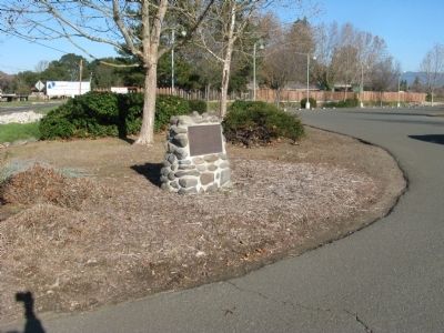
2. Embarcadero – St. Louis Marker
Another marker is no longer nearby. The Last Mission (was approx. 2 miles away but has been permanently removed).
Additional commentary.
1. Additional Information Regarding the Marker Dedication
Aaron Schoelles and Howard Robinsons were Noble Grand Humbugs when this plaque was dedicated. Monument designed by Carl Schoelles XNGH #13, Aaron Schoelles, NGH and Loren Wilson NGH #10. Plaque wording by Loren A. Wilson
— Submitted April 28, 2012, by Loren Wilson of Sebastopol, California.
Photographed by Syd Whittle, January 10, 2009
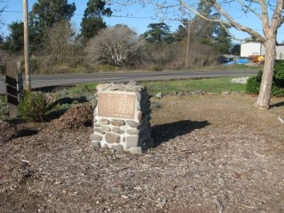
3. Embarcadero – St. Louis Marker
Photographed by Loren Wilson
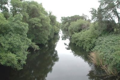
4. Sonoma Creek
Credits. This page was last revised on June 16, 2016. It was originally submitted on January 15, 2009, by Syd Whittle of Mesa, Arizona. This page has been viewed 1,491 times since then and 39 times this year. Last updated on November 3, 2014, by Michael Kindig of Elk Grove, California. Photos: 1, 2, 3. submitted on January 15, 2009, by Syd Whittle of Mesa, Arizona. 4. submitted on April 23, 2012, by Loren Wilson of Sebastopol, California. • Bill Pfingsten was the editor who published this page.
