Randsburg in Kern County, California — The American West (Pacific Coastal)
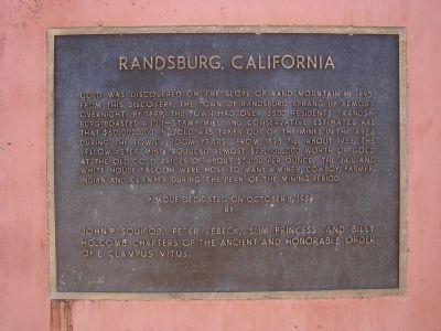
Randsburg, California
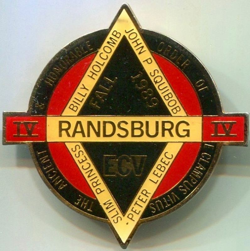
Erected 1989 by E Clampus Vitus; John P. Squibob, Peter LeBeck, Slim Princess and Billy Holcomb Chapters. (Marker Number 57.)
Topics and series. This historical marker is listed in these topic lists: Industry & Commerce • Natural Resources • Settlements & Settlers. In addition, it is included in the E Clampus Vitus series list. A significant historical year for this entry is 1895.
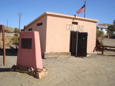
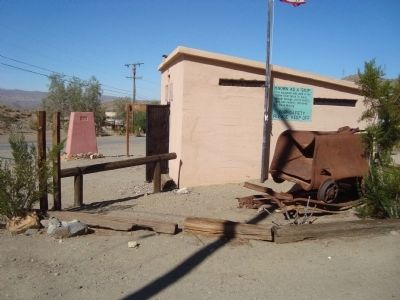
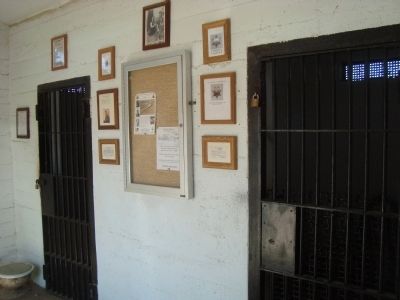
Location. 35° 22.142′ N, 117° 39.393′ W. Marker is in Randsburg, California, in Kern County. Marker is at the intersection of Red Rock Randsberg Road and Butte Avenue, on the left when traveling north on Red Rock Randsberg Road. This marker is located at the old Randsburg City Jail. Touch for map. Marker is in this post office area: Johannesburg CA 93528, United States of America. Touch for directions.
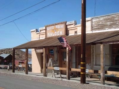
Other nearby markers. At least 8 other markers are within walking distance of this marker. Whitehouse Saloon (about 300 feet away, measured in a direct line); D.T. Jones - Dry Goods (about 300 feet away); Randsburg Drug Store (about 400 feet away); The Joint (about 400 feet away); The Commercial Hotel (about 500 feet away); Rand Mining District (about 500 feet away); The King Solomon Mine (approx. 0.9 miles away); Rand District Community Cemetery (approx. 0.9 miles away). Touch for a list and map of all markers in Randsburg.
More about this marker. The Yellow Aster Mine was discovered by John Singleton, F.M. Mooers and Charlie Burcham. It had been named the Rand Mine because of the similarity in the minerals present to those of the Rand Mining District in South Africa. Because of the possible confusion, between the two "Rand Mines" the one in California was renamed the "Yellow Aster" after a book that Mooers was reading at the time of the discovery. This Plaque was a joint effort with Peter Lebeck, John P. Squibob, and the Slim Princess Chapters.
SOURCE: Billy Holcomb Chapter 1069 35th Anniversary Plaque Book by Phillip Holdaway
Credits. This page was last revised on August 9, 2016. It was originally submitted on December 13, 2011, by Barry Swackhamer of Brentwood, California. This page has been viewed 1,133 times since then and 17 times this year. Last updated on November 3, 2014, by Michael Kindig of Elk Grove, California. Photos: 1, 2, 3, 4, 5. submitted on December 13, 2011, by Barry Swackhamer of Brentwood, California. 6. submitted on August 8, 2016, by Michael Kindig of Elk Grove, California. • Bill Pfingsten was the editor who published this page.
