Near Gomer in Allen County, Ohio — The American Midwest (Great Lakes)
Lincoln Highway
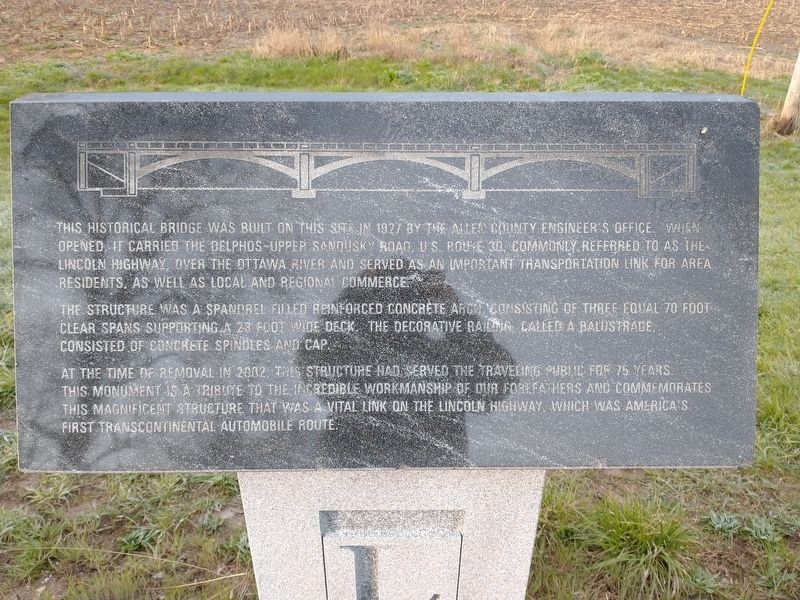
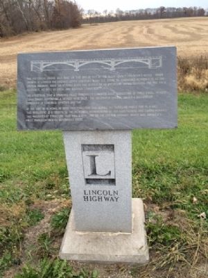
Historical Bridge
The structure was a spandrell filled reinforced concrete arch consisting of three equal 70 foot clear spans supporting a 28 foot wide deck. The decorative railing, called a balustrade, consisted of concrete spindles and cap.
At the time of removal in 2007, this structure had served the travelling public for 75 years. This monument is a tribute to the incredible workmanship of our forefathers and commemorates this magnificent strucutre that was a vital link on the Lincoln Highway, which was America's first transcontinental automobile route.
Topics and series. This historical marker is listed in this topic list: Roads & Vehicles. In addition, it is included in the Lincoln Highway series list. A significant historical year for this entry is 1927.
Location. 40° 50.861′ N, 84° 11.702′ W. Marker is near Gomer, Ohio, in Allen County. Marker is on Lincoln Highway, half a mile west of Gomer Road, on the left when traveling west. Touch for map. Marker is in this post office area: Gomer OH 45809, United States of America. Touch for directions.
Other nearby markers. At least 8 other markers are within 5 miles of this marker, measured as the crow flies. This Lintel Stone (approx. 0.6 miles away); 1833 Gomer, Ohio (approx. 0.7 miles away); Snow Cruiser Crash Site (approx. 1.1 miles away); Pike Run Cemetery (approx. 1˝ miles away); Abraham Doner (approx. 4.2 miles away); Walter M. Lawson, Jr. (approx. 4.3 miles away); B-26B Bomber Crash (approx. 4.7 miles away); Veterans Memorial (approx. 4.9 miles away). Touch for a list and map of all markers in Gomer.
Credits. This page was last revised on May 23, 2022. It was originally submitted on November 7, 2014, by Michael Baker of Lima, Ohio. This page has been viewed 1,086 times since then and 24 times this year. Photos: 1. submitted on April 21, 2022, by Craig Doda of Napoleon, Ohio. 2. submitted on November 7, 2014, by Michael Baker of Lima, Ohio. • Al Wolf was the editor who published this page.

