Bowie in Prince George's County, Maryland — The American Northeast (Mid-Atlantic)
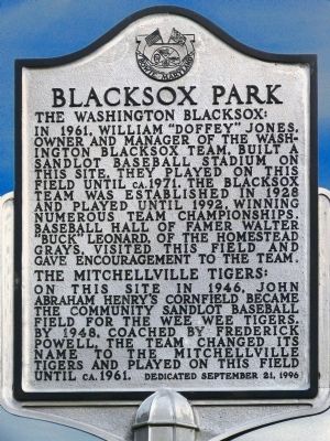
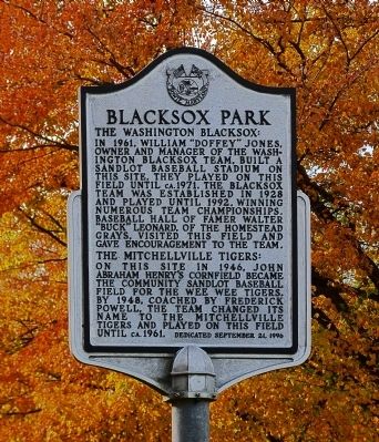
Blacksox Park
The Washington Blacksox:
In 1961, William "Doffey" Jones, owner and manager of the Washington Blacksox team built a sandlot baseball stadium on this site. They played on this field until ca. 1971. The Blacksox team was established in 1928 and played until 1992, winning numerous team championships. Baseball Hall of Famer Walter "Buck" Leonard, of the Homestead Grays, visited this field and gave encouragement to the team.
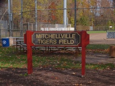
The Mitchellville Tigers:
On this site in 1946, John Abraham Henry's cornfield became the community sandlot baseball field for the Wee Wee Tigers. By 1948, coached by Frederick Powell, the team changed its name to the Mitchellville Tigers and played on this field until ca. 1961.
Erected 1996 by City of Bowie, Maryland.
Topics. This historical marker is listed in these topic lists: African Americans • Sports. A significant historical date for this entry is September 21, 1875.
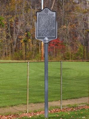
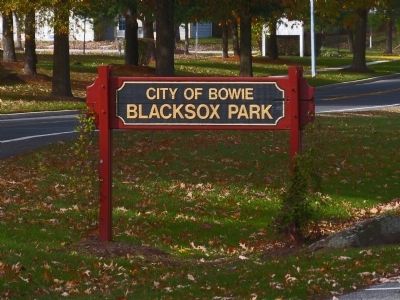
Location. 38° 55.209′ N, 76° 43.836′ W. Marker is in Bowie, Maryland, in Prince George's County. Marker can be reached from Mitchellville Road when traveling north. Touch for map. Marker is at or near this postal address: 2201 Mitchellville Rd, Bowie MD 20716, United States of America. Touch for directions.
Other nearby markers. At least 8 other markers are within 4 miles of this marker, measured as the crow flies. Edlavitch-Harmel House (approx. 0.4 miles away); Hall Station (approx. 1.2 miles away); Forest Place (approx. 1.4 miles away); Historic Pin Oak (approx. 1.4 miles away); Melford and Cemetery (approx. 2.9 miles away); The Belair Stud Farm (approx. 3.3 miles away); The Stable Courtyard (approx. 3.3 miles away); Archaeological Research of the Belair Garden (approx. 3.3 miles away). Touch for a list and map of all markers in Bowie.
Credits. This page was last revised on October 2, 2022. It was originally submitted on November 10, 2014, by Allen C. Browne of Silver Spring, Maryland. This page has been viewed 833 times since then and 55 times this year. Photos: 1, 2, 3, 4, 5. submitted on November 10, 2014, by Allen C. Browne of Silver Spring, Maryland. • Bill Pfingsten was the editor who published this page.
