Nara Visa in Quay County, New Mexico — The American Mountains (Southwest)
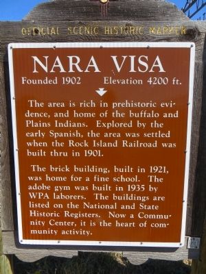
Nara Visa
Founded 1902 Elevation 4200 ft.
Photographed by Bill Kirchner, October 5, 2014
1. Nara Visa Marker
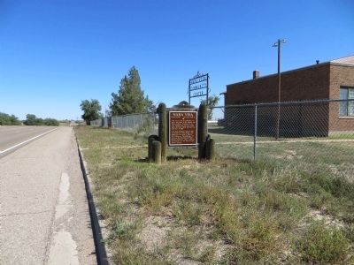
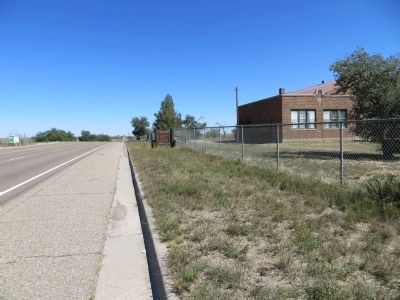
The brick building, built in 1921, was home for a fine school. The adobe gym was built in 1935 by WPA laborers. The buildings are listed on the National and State Historic Registers. Now a Community Center, it is the heart of community activity.
Erected by New Mexico Historic Preservation Division.
Topics. This historical marker is listed in this topic list: Settlements & Settlers. A significant historical year for this entry is 1901.
Location. 35° 36.657′ N, 103° 5.724′ W. Marker is in Nara Visa, New Mexico, in Quay County. It is on U.S. 54 at milepost 351, on the left when traveling west. Touch for map. Marker is in this post office area: Nara Visa NM 88430, United States of America. Touch for directions.

Regionally, this marker is in Eastern New Mexico. It is also in the American Southwest, on the Great Plains, on the Southern Plains, and specifically on the High Plains. Globally, it is in North America, the Western
this page online
Other nearby markers. At least one other marker is within 8 miles of this marker, measured as the crow flies: Townsite of Obar (approx. 8.1 miles away).
Photographed by Bill Kirchner, October 5, 2014
2. Nara Visa Marker
Back of Marker
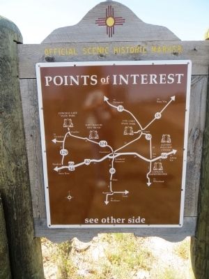
Points of Interest
New Mexico's Historic Markers typically have a map on the back side showing the location of other OSHM's. This is an excellent source of information when exploring for other Historical Markers and locations.
Points of Interest
New Mexico's Historic Markers typically have a map on the back side showing the location of other OSHM's. This is an excellent source of information when exploring for other Historical Markers and locations.
Photographed by Bill Kirchner, October 5, 2014
3. Nara Visa Marker
Photographed by Bill Kirchner, October 5, 2014
4. Nara Visa Marker
Credits. This page was last revised on June 20, 2016. It was originally submitted on November 13, 2014, by Bill Kirchner of Tucson, Arizona. This page has been viewed 1,645 times since then and 103 times this year. Photos: 1, 2, 3, 4. submitted on November 13, 2014, by Bill Kirchner of Tucson, Arizona. • Syd Whittle was the editor who published this page.
Editor’s want-list for this marker. Photos of the buildings. • Can you help?
