Near Goodland in Sherman County, Kansas — The American Midwest (Upper Plains)
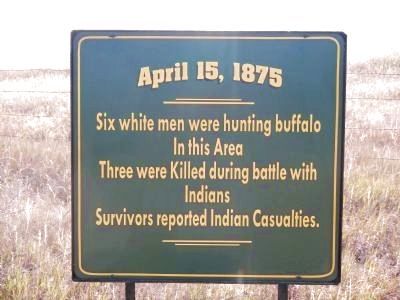
(Indian Skirmish)
April 15, 1875
In this Area
Three were Killed during a battle with
Indians
Survivors reported Indian Casualties.
Topics. This historical marker is listed in this topic list: Wars, US Indian.
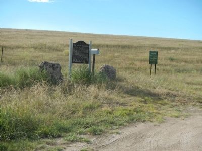
Location. 39° 31.456′ N, 101° 33.327′ W. Marker is near Goodland, Kansas, in Sherman County. Marker is on County Route 28 near County Route 77, on the right when traveling north. Touch for map. Marker is in this post office area: Goodland KS 67735, United States of America. Touch for directions.
Other nearby markers. At least 2 other markers are within 16 miles of this marker, measured as the crow flies. The Kidder Massacre (here, next to this marker); The Big Easel (approx. 15.2 miles away).
Credits. This page was last revised on June 16, 2016. It was originally submitted on November 14, 2014, by Barry Swackhamer of Brentwood, California. This page has been viewed 682 times since then and 31 times this year. Photos: 1, 2. submitted on November 14, 2014, by Barry Swackhamer of Brentwood, California. • Al Wolf was the editor who published this page.

