Milford in Clermont County, Ohio — The American Midwest (Great Lakes)
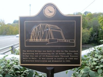
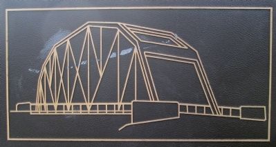
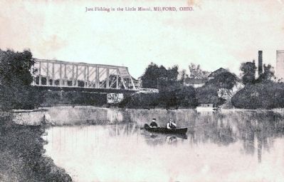
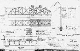
Milford Bridge
Erected by Ohio Department of Transportation.
Topics. This historical marker is listed in these topic lists: Bridges & Viaducts • Roads & Vehicles. A significant historical year for this entry is 1924.
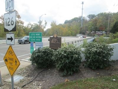
Location. 39° 10.326′ N, 84° 17.874′ W. Marker is in Milford, Ohio, in Clermont County. Marker is on Water Street (U.S. 50) ¼ mile east of St Rt 126 (Ohio Route 126), on the right when traveling west. marker is at the east end of the bridge, on the north side of US 50, at the Little Miami River. St Rt 126 intersects at the west end. marker is accessible from a small parking lot in front of an adjacent business. There is no parking on US 50. Touch for map. Marker is at or near this postal address: 19 Water St, Milford OH 45150, United States of America. Touch for directions.
Other nearby markers. At least 8 other markers are within 2 miles of this marker, measured as the crow flies. Milford (about 700 feet away, measured in a direct line); Covalt Station (approx. half a mile away); First Methodist Church (approx. half a mile away); Promont (approx. 1.1 miles away); Henry Clark Corbin (approx. 1.1 miles away); Milford GAR Veterans Memorial (approx. 1.1 miles away); Greenlawn Cemetery (approx. 1.2 miles away); Camp Dennison (approx. 1.2 miles away). Touch for a list and map of all markers in Milford.
Credits. This page was last revised on August 28, 2022. It was originally submitted on November 19, 2014, by Rev. Ronald Irick of West Liberty, Ohio. This page has been viewed 772 times since then and 72 times this year. Photos: 1, 2, 3, 4, 5, 6, 7. submitted on November 19, 2014, by Rev. Ronald Irick of West Liberty, Ohio. • Al Wolf was the editor who published this page.
