Sandusky in Erie County, Ohio — The American Midwest (Great Lakes)
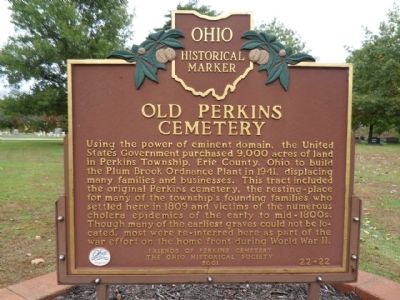
Old Perkins Cemetery
Photographed by Denise Boose, October 15, 2014
1. Old Perkins Cemetery Marker
Erected 2001 by Friends of Perkins Cemetery and The Ohio Historical Society. (Marker Number 22-22.)
Topics and series. This historical marker is listed in this topic list: Government & Politics. In addition, it is included in the Ohio Historical Society / The Ohio History Connection series list. A significant historical year for this entry is 1941.
Location. 41° 23.954′ N, 82° 39.116′ W. Marker is in Sandusky, Ohio, in Erie County. It is on Milan Road, on the right when traveling west. Touch for map. Marker is at or near this postal address: 5922
this page online

Regionally, this marker is on the Lake Erie Shore and in the Western Reserve. It is also in the American Midwest and in the Corn Belt. Globally, it is in North America, on the Great Lakes, in the Western Hemisphere, in the Western World, and in the Anglosphere. Historically, it finds itself in what was once the Haudenosaunee (Iroquois) Confederacy, the territory of the Mississippian Culture, and the Northwest Territory.
Other nearby markers. At least 8 other markers are within 3 miles of this marker, measured as the crow flies: Erie County Veterans Memorial Plot (about 400 feet away, measured in a direct line); Ohio LST/AMPHIBS Association (approx. 2.1 miles away); Ohio Veterans Home (approx. 2.1 miles away); Ohio Veterans Home Memorial Walkway (approx. 2.2 miles away); Boots On The Ground (approx. 2.2 miles away); Veterans Pavilion (approx. 2.2 miles away); Civil War Memorial (approx. 2.2 miles away); American Ex-Prisoners Of War (approx. 2.2 miles away). Touch for a list and map of all markers in Sandusky.
More about this marker. The
Photographed by Denise Boose, October 15, 2014
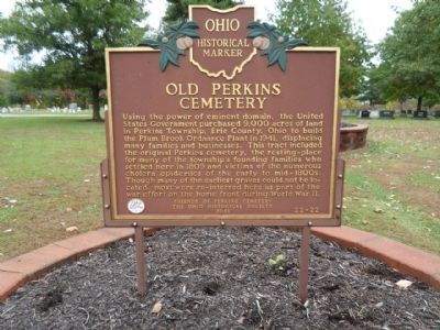
2. Old Perkins Cemetery Marker
Photographed by Denise Boose, October 15, 2014
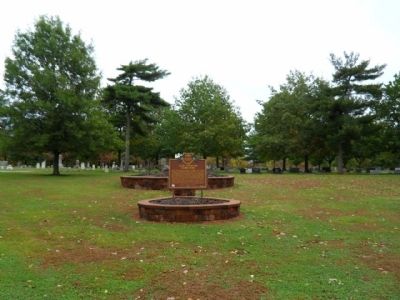
3. Old Perkins Cemetery Marker
Photographed by Denise Boose, October 15, 2014
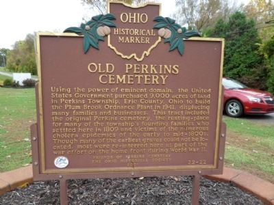
4. Old Perkins Cemetery Marker
This is the opposite side of the marker, which repeats the text.
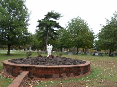
Photographed by Denise Boose, October 15, 2014
5. Old Perkins Cemetery Marker
Credits. This page was last revised on June 16, 2016. It was originally submitted on November 23, 2014, by Denise Boose of Tehachapi, California. This page has been viewed 743 times since then and 27 times this year. Photos: 1, 2, 3, 4, 5. submitted on November 23, 2014, by Denise Boose of Tehachapi, California. • Al Wolf was the editor who published this page.
