Sandusky in Erie County, Ohio — The American Midwest (Great Lakes)
Underground Railroad
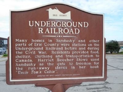
Photographed by Denise Boose, October 16, 2014
1. Underground Railroad Marker
Erected by Erie Country Historical Society.
Topics. This historical marker is listed in this topic list: African Americans.
Location. 41° 27.442′ N, 82° 42.816′ W. Marker is in Sandusky, Ohio, in Erie County. It is on East Shoreline Dr east of Jackson Street, on the left when traveling east. It is at the entrances to Jackson Street Pier. Touch for map. Marker is at or near this postal address: 233 E Shoreline Dr, Sandusky OH 44870, United States of America. Touch for directions.

Regionally, this marker is on the Lake Erie Shore and in the Western Reserve. It is also in the American Midwest and in the Corn Belt. Globally, it is in North America, on the Great Lakes, in the Western Hemisphere, in the Western World, and in the Anglosphere. Historically,
this page online
Other nearby markers. At least 8 other markers are within walking distance of this marker: Johnson’s Island (a few steps from this marker); G.A. Boeckling Building (within shouting distance of this marker); Hubbard Building (within shouting distance of this marker); The Hinde & Dauch Paper Company / The Paper District (within shouting distance of this marker); State Theatre (about 400 feet away, measured in a direct line); Donahue Hardware (about 500 feet away); Jay Cooke (about 600 feet away); The Beecher House (approx. 0.2 miles away). Touch for a list and map of all markers in Sandusky.
Another marker is no longer nearby. The Hinde & Dauch Paper Company (was within shouting distance of this marker but has been replaced with another marker now near it).
More about this marker. The text repeats itself on the opposite side of the marker.
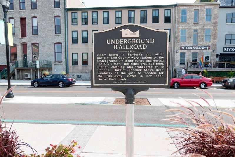
Photographed by J. J. Prats, September 12, 2021
2. Underground Railroad Marker
This photo shows Shoreline Drive after it was rebuilt with a curb-separated bicycle/pedestrian lane.
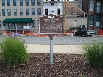
Photographed by Denise Boose, October 16, 2014
3. Underground Railroad Marker
This photograph was taken before the Jackson Street Pier was redesigned.

Photographed by J. J. Prats, September 12, 2021
4. Johnson’s Island and Underground Railroad Markers
The entrance to the Jackson Street Pier has been rebuilt in a more pedestrian-friendly manner. The markers, on new poles, are very close to their original locations but now flank the pedestrian entrance. A small U-shaped promenade surrounding a grassy area has been built at far end of the pier.
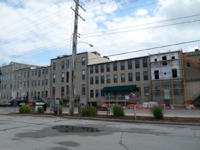
Photographed by Denise Boose, October 16, 2014
5. Underground Railroad Marker
This photograph was taken before the Jackson Street Pier was redesigned.
Credits. This page was last revised on October 4, 2021. It was originally submitted on November 23, 2014, by Denise Boose of Tehachapi, California. This page has been viewed 805 times since then and 62 times this year. Photos: 1. submitted on November 23, 2014, by Denise Boose of Tehachapi, California. 2. submitted on October 4, 2021, by J. J. Prats of Powell, Ohio. 3. submitted on November 23, 2014, by Denise Boose of Tehachapi, California. 4. submitted on October 4, 2021, by J. J. Prats of Powell, Ohio. 5. submitted on November 23, 2014, by Denise Boose of Tehachapi, California. • Al Wolf was the editor who published this page.
