Near Bradley in Monterey County, California — The American West (Pacific Coastal)
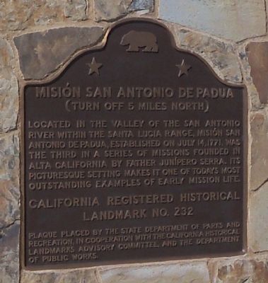
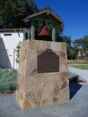
Misión San Antonio de Padua
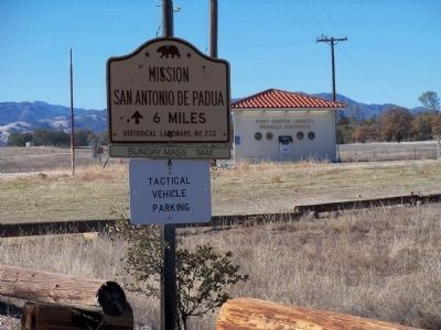
(Turn Off 5 Miles North)
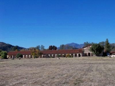
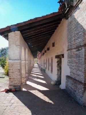
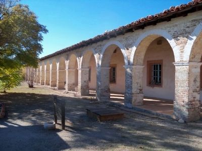
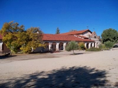
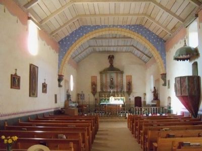
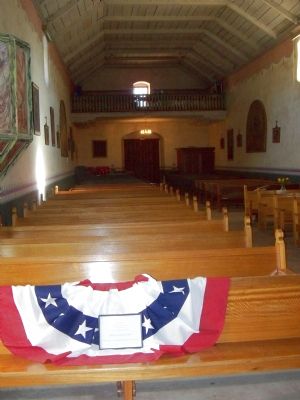
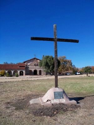
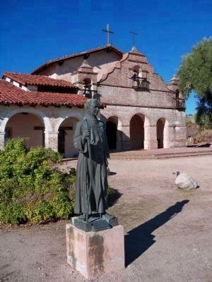
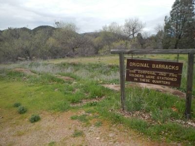
Located in the valley of the San Antonio River within the Santa Lucia Range, Misión San Antonio de Padua, established on July 14, 1771, was the third in a series of missions founded in Alta California by Father Junípero Serra. Its picturesque setting makes it one of today's most outstanding examples of early mission life.
Erected by The State Department of Parks and Recreation, in cooperation with the California Historical Landmarks Advisory Committee, and the Department of Public Works. (Marker Number 232.)
Topics and series. This historical marker is listed in these topic lists: Churches & Religion • Settlements & Settlers. In addition, it is included in the California Historical Landmarks series list. A significant historical month for this entry is July 2002.
Location. 35° 49.867′ N, 120° 45.483′ W. Marker is near Bradley, California, in Monterey County. Marker is on U.S. 101 Spur, on the right when traveling north. The marker is located at the rest stop on U.S. Highway 101, 1.45 miles north of the Bradley/East Garrison exit (#245). Touch for map. Marker is in this post office area: Bradley CA 93426, United States of America. Touch for directions.
Other nearby markers. At least 8 other markers are within 7 miles of this marker, measured as the crow flies. Camp Roberts Veterans Memorial (approx. 2½ miles away); De Anza Trek Reinactment (approx. 2.6 miles away); Original Site Of San Miguel School (approx. 6½ miles away); Elkhorn Saloon (approx. 6½ miles away); Lt. Col. John C. Fremont (approx. 6.8 miles away); Mission Cemetery (approx. 6.9 miles away); Mission Fields (approx. 6.9 miles away); Cross of El Camino Real (approx. 6.9 miles away). Touch for a list and map of all markers in Bradley.
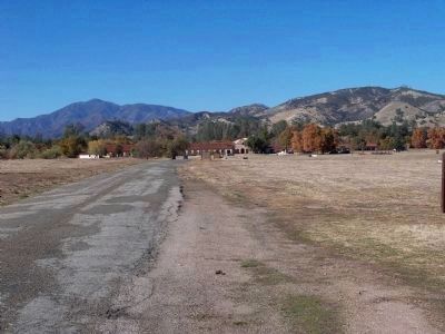
Regarding Misión San Antonio de Padua. Mission San Antonio is actually 33 miles away on the Fort Hunter Liggett military reservation. Travel north on U.S. 101 to Jolon Road, take Jolon Road northwest to the fort. Turn in through the main gate and go another 6.2 miles to the mission. Access may be limited during times of training at the fort.
This is one of the few California missions to not have a town grow up around it. Because of that, much of the original infrastructure is still visible on the mission grounds with many explanatory signs.
Also see . . .
1. Mission San Antonio de Padua. Mission website homepage:
Located on eighty pristine acres on what was once the Milpitas unit of the sprawling Hearst Ranch, Mission San Antonio de Padua sits within the “Valley of the Oaks” on California’s scenic Central Coast. (Submitted on December 1, 2012, by James King of San Miguel, California.)
2. Mission San Antonio de Padua. Monterey County Historical Society website entry:
Mission San Antonio de Padua was established by Junípero Serra on July 14, 1771 in the San Antonio Valley, in southwestern Monterey County. This location had been favored by the Portolá expedition in 1769. They had given their campsite the name "La Hoya de la Sierra de Santa Lucia." (Submitted on December 1, 2012, by James King of San Miguel, California.)
3. San Antonio de Padua. California Missions website entry (Submitted on December 1, 2012, by James King of San Miguel, California.)
Photographed By James King, November 24, 2012
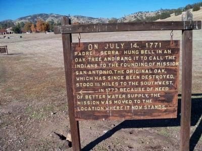
4. Mission San Antonio de Padua Sign
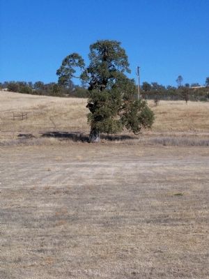
On July 14, 1771 Padre Serra hung (a) bell in an oak tree and rang it to call the Indians to the founding of Mission San Antonio. The original oak, which has since been destroyed, stood 1½ miles to the southwest. In 1773 because of need of (a) better water supply, the mission was moved to the location where it now stands.
Photographed By James King, November 24, 2012
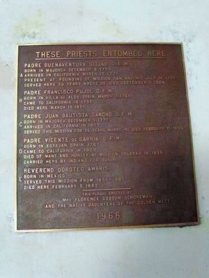
13. These Priests Entombed Here
A)-Padre Buenaventura Sitjar, O.F.M. Born in Majorca December 9, 1739 • Arrived in California March 12, 1771 • Present at founding of Mission San Antonio July 14, 1771 • Served here 36 years where he died September 3, 1808
B)- Padre Francisco Pujol, O.F.M. Born in Villa de Alos, Spain, March 7, 1862 • Came to California in 1795 • Died here March 15, 1801
C)- Padre Juan Bautista Sancho, O.F.M. Born in Majorca December 1, 1772 • Arrived in California in 1803 • Served this mission for 26 years where he died February 11, 1830
D)- Padre Vicente de Sarria, O.F.M. Born in Estevan, Spain, 1767 • Came to California in 1809 • Died of want and hunger at Mission Soledad in 1835 • Carried here by Indians for burial
E)- Reverend Doroteo Ambris Born in Mexico • Served this mission from 1851-1882 • Died here February 5, 1882
This plaque erected by Mrs. Florence Dodson-Schoneman and the Native Daughters of the Golden West - 1966
Photographed By James King, November 24, 2012
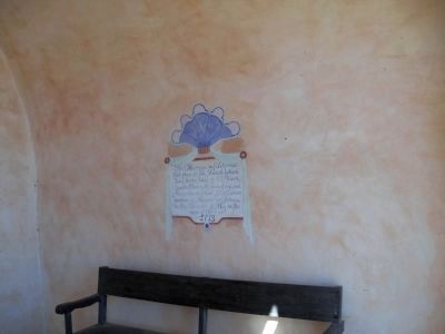
16. First Marriage in California
(Located inside the entryway below the campanário)
The first marriage in California took place at this Mission between Juan María Ruiz of El Fuerte, Sonora, Mexico, 25 years of age, and Margaríta de Cortona, 22, a Salinian woman of Mission San Antonio, on the sixteenth of May in the year of Our Lord 1773.
The first marriage in California took place at this Mission between Juan María Ruiz of El Fuerte, Sonora, Mexico, 25 years of age, and Margaríta de Cortona, 22, a Salinian woman of Mission San Antonio, on the sixteenth of May in the year of Our Lord 1773.
Photographed By James King, November 24, 2012
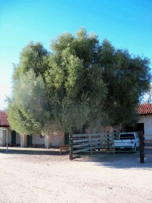
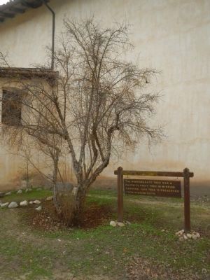
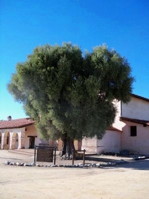
22. Olive Tree Planted by Padres About 1836
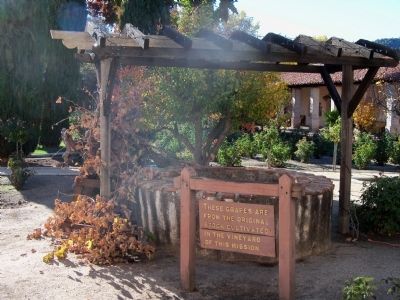
It has been claimed by experts that the Mission Olive as well as the Mission Grape has not been identified with any of the varieties now cultivated in Europe. Olive seeds, and perhaps some cuttings, were brought by the padres to the missions as early as 1769. Thirty years later olive culture at the missions was an assured success.
Photographed By James King, November 24, 2012
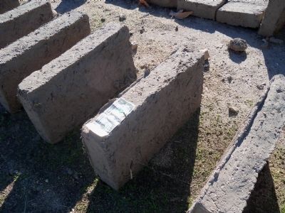
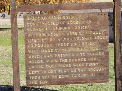
24. Adobe Bricks
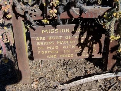
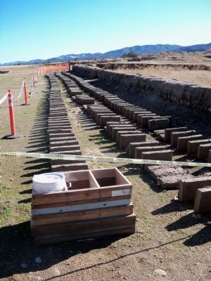
San Antonio Mission is constructed of sun-dried unburnt bricks. Mission adobes were generally 11" by 23" by 4" and weighed about 60 pounds. These dirt bricks were made of mud with straw which was pressed into wooden molds. When the frames were lifted, the bricks were first left to dry flat on the ground then set on edge to cure in the sun.
Photographed By James King, November 24, 2012
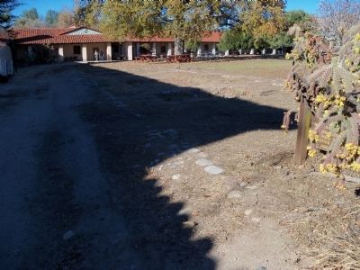
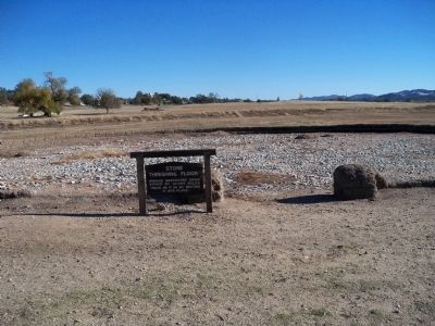
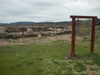
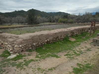
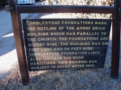
27. Cobblestone Foundations
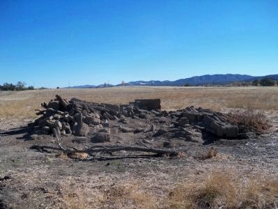
mark the outline of the adobe brick building which ran parallel to the church. The foundations are 3½ feet wide. The building was 218 feet long and 30 feet wide. Cobblestone foundation lines also indicate the room partitions. This building was subject to decay after 1845.
Photographed By James King
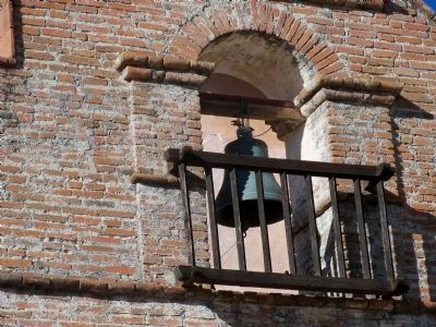
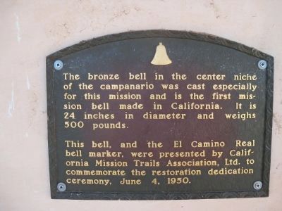
29. Mission Bell Plaque
The bronze bell in the center niche of the campanário was cast especially for this mission and is the first mission bell made in California. It is 24 inches in diameter and weighs 500 pounds.
This bell, and the El Camino Real bell marker, were presented by California Mission Trails Association, Ltd. to commemorate the restoration dedication ceremony, June 4, 1950.
This bell, and the El Camino Real bell marker, were presented by California Mission Trails Association, Ltd. to commemorate the restoration dedication ceremony, June 4, 1950.
Photographed By James King, November 24, 2012
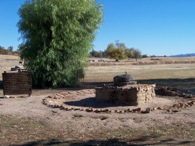
37. Tahona or Horse-Powered Mill
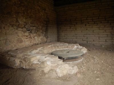
This mill was operated by a blind-folded mule or burro. It was harnessed to the pole or sweep and moved in a perpetual circle, thereby turning the upper stone. A hopper-funnel set in the feeding hole fed grain to the grinding surfaces of the stones. Grist discharged from the stones was stored in a bin. A tahona mill was installed in 1810.
Photographed By James King, November 24, 2012
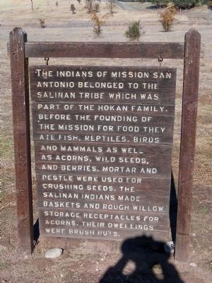
38. The Indians of Mission San Antonio
The Indians of Mission San Antonio belonged to the Salinan Tribe which was part of the Hokan family. Before the founding of the mission for food they ate fish, reptiles, birds and mammals as well as acorns, wild seeds and berries Mortar and pestle were used for crushing seeds. The Salinan Indians made baskets and rough willow storage receptacles for acorns. Their dwellings were brush huts.
Photographed By James King, November 24, 2012
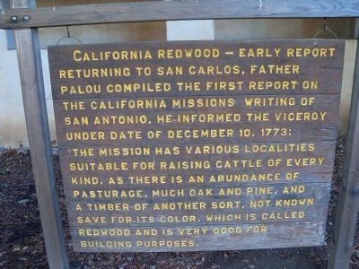
39. California Redwood - Early Report
Returning to San Carlos,Father Palou compiled the first report on the California missions. Writing of San Antonio he informed the Viceroy under date of December 10, 1773: The Mission has various localities suitable for raising cattle of every kind, as there is an abundance of pasturag, much oak and pine, and a timber of another sort, not known save for its color which is called redwood and is very good for building purposes.
Photographed By James King, November 24, 2012
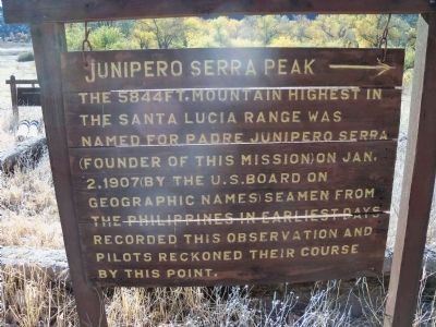
40. Junipero Serra Peak
The 5844 ft. mountain, highest in the Santa Lucia Range was named for Padre Junipero Serra (founder of this mission) on Jan. 2, 1907 (by the U.S. Board on Geographic Names) Seamen fro the Philippines in earliest days recorded this observation and pilots reckoned their course by this point.
Photographed By James King, November 24, 2012
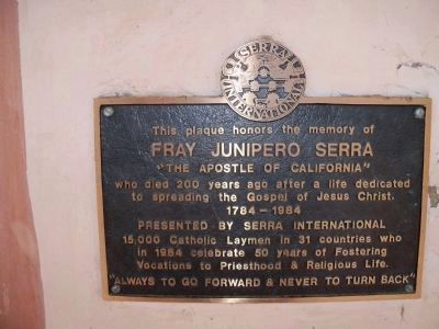
44. Serra International Plaque
Fray Junipero Serra
"The Apostle of California"
who died 200 years ago after a life dedicated to spreading the Gospel of Jesus Christ.
1784-1984
Presented by Serra International
15,000 Catholic Laymen in 31 countries who in 1984 celebrate 50 years of Fostering Vocations to Priesthood & Religious Life.
"Always to go forward & never to turn back"
Photographed By Barry Swackhamer, March 20, 2013
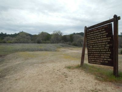
51. Early Wheat Field
In the first report of the California Missions, Padre Francisco Palou wrote under date of Dec. 10, 1773, of San Antonio Mission: the mission has succeeded at the new location in securing an abundance of water from the arroyo mentioned, which they have conducted by means of a ditch to irrigate a level piece of land adjoining the mission proper of which a good piece has been cultivated, and they are about to sow on it two fanegas of wheat.
Photographed By Barry Swackhamer, March 20, 2013
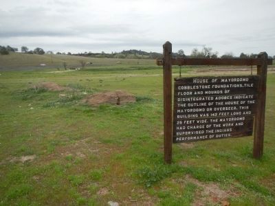
54. House of Mayordomo
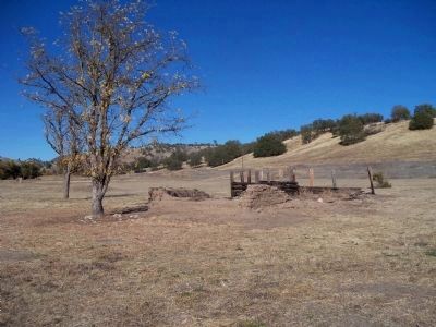
Cobblestone foundations, tile floor and mounds of disintegrated adobes indicate the outline of the house of the mayordomo or overseer. This building was 142 feet long and 25 feet wide. The mayordomo had charge of the work and supervised the Indians performance of duties.
Photographed By Barry Swackhamer, March 20, 2013
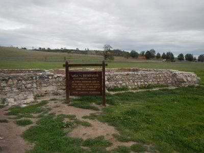
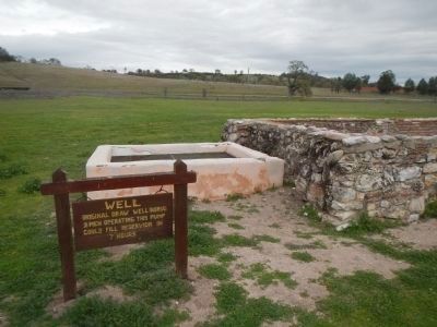
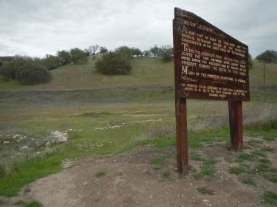
57. Mission Reservoir
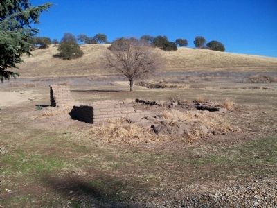
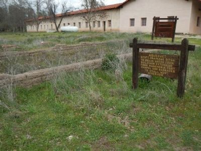
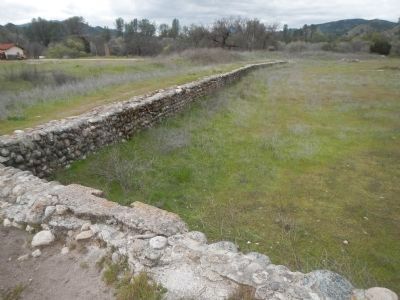
A few feet in back of this sign are the original retaining walls of the reservoir constructed in the early days of the mission.
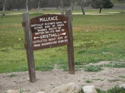
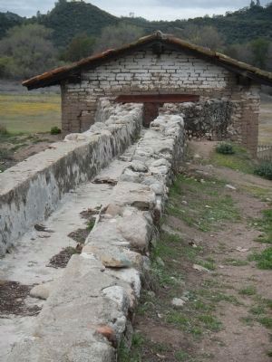
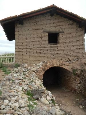
To fill the reservoir Padre Buenaventura Sitjar tapped the San Antonio River about three miles above the mission and by means of an aqueduct carried the water to this basin.
Much of the primitive structure is visible. The irrigation system established by Padre Sitjar is considered by experts to be one of the finest engineering feats of early California history.
Photographed By Barry Swackhamer, March 20, 2013
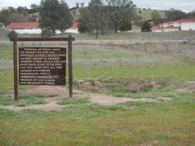
66. Temescal or Sweat-house
An ancient practice was observed in sweat-houses where as many Indians as possible crowded within. While a fire was make inside close to the door. Fuel was added until all were covered with profuse perspiration. Finally thoroughly exhausted they crawled out and plunged in to the nearest stream.
Photographed By James King, November 24, 2012
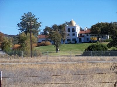
68. Milpitas Ranchhouse
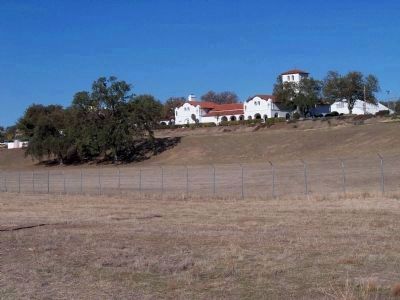
Designed by Julia Morgan and built in 1930 on a hill overlooking Mission San Antonio and the San Antonio valley for William Randolph Hearst as ranch headquarters and guesthouse. The Milpitas Ranchhouse was listed in 1977 on the National Register of Historic Places as #77000310. The Moorish Revival style dome is visible through the oak trees on the left and the Fort Hunter Liggett fire station is visible to the extreme right. Now inside the cantonment, Milpitas Ranchhouse is accessible to civilian visitors through an Army checkpoint.
Credits. This page was last revised on August 25, 2021. It was originally submitted on November 30, 2012, by James King of San Miguel, California. This page has been viewed 3,071 times since then and 267 times this year. Last updated on November 24, 2014, by James King of San Miguel, California. Photos: 1, 2, 3, 4, 5, 6, 7, 8, 9. submitted on November 30, 2012, by James King of San Miguel, California. 10, 11, 12, 13. submitted on December 1, 2012, by James King of San Miguel, California. 14, 15, 16. submitted on November 30, 2012, by James King of San Miguel, California. 17, 18, 19, 20, 21, 22, 23, 24, 25, 26, 27, 28, 29, 30, 31, 32. submitted on December 1, 2012, by James King of San Miguel, California. 33, 34, 35. submitted on November 30, 2012, by James King of San Miguel, California. 36, 37. submitted on December 1, 2012, by James King of San Miguel, California. 38. submitted on November 30, 2012, by James King of San Miguel, California. 39, 40, 41. submitted on December 1, 2012, by James King of San Miguel, California. 42, 43, 44, 45. submitted on November 30, 2012, by James King of San Miguel, California. 46, 47, 48, 49, 50, 51, 52, 53, 54, 55, 56, 57, 58, 59, 60, 61, 62, 63, 64, 65, 66, 67. submitted on April 15, 2013, by Barry Swackhamer of Brentwood, California. 68, 69. submitted on December 1, 2012, by James King of San Miguel, California. • Syd Whittle was the editor who published this page.
