Near Avoca in Jones County, Texas — The American South (West South Central)
Spring Creek Cemetery
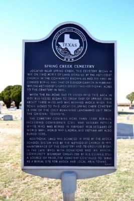
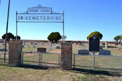
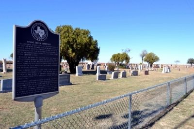
Located near Spring Creek, this cemetery began in 1891 on two acres of land donated by the Methodist church in the community known as Avo. The first recorded burial was that of Elender Cannon in February 1891. The Methodist church deeded two additional acres to the cemetery in 1892.
When the railroad was extended into this area in 1902, businesses began to grow east of Spring Creek about three miles. Avo was renamed Avoca when the town moved to this location. Spring Creek Cemetery is one of the only remaining landmarks left from the original townsite.
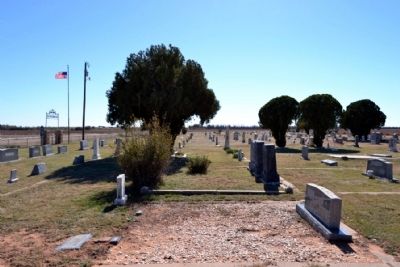
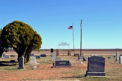
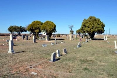
The cemetery contains more than 1,000 burials, including Confederate Civil War veteran Patrick White, who was buried in February 1928. Veterans of World War I, World War II, Korea, and Vietnam are also buried here.
Additional land was donated in 1950 by the Avoca school system and by the Methodist church in 1971. Maintenance of the cemetery and its grounds began in the late 1890s with donations and an annual community workday organized by H.E. Culwell. Still a source of pride, the cemetery continues to serve as a burial site for Avoca and local area towns.
Erected 1996 by Texas Historical Commission. (Marker Number 5013.)
Topics. This historical marker is listed in these topic lists: Cemeteries & Burial Sites • Settlements & Settlers. A significant historical month for this entry is February 1891.
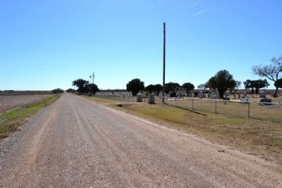
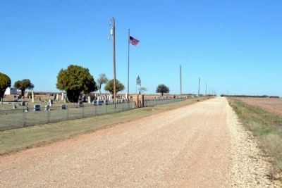
Location. 32° 51.867′ N, 99° 44.87′ W. Marker is near Avoca, Texas, in Jones County. Marker is on County Road 261, 0.3 miles south of Farm to Market Road 1636, on the right when traveling south. Touch for map. Marker is in this post office area: Avoca TX 79503, United States of America. Touch for directions.
Other nearby markers. At least 8 other markers are within 7 miles of this marker, measured as the crow flies. New Hope Cemetery (approx. 3.1 miles away); Arledge Field (approx. 3.1 miles away); Swan's Chapel (approx. 4.9 miles away); Bethel Lutheran Church (approx. 5.9 miles away); St. John's Methodist (approx. 6.3 miles away); Swenson Land and Cattle Company Headquarters (approx. 6.4 miles away); First Baptist Church (approx. 6.6 miles away); Stamford (approx. 6.7 miles away). Touch for a list and map of all markers in Avoca.
Also see . . .
1. Spring Creek Cemetery. Find A Grave Website entry (Submitted on November 25, 2014.)
2. Avoca, TX. From the Texas State Historical Association’s “Handbook of Texas Online”. (Submitted on November 25, 2014.)
Credits. This page was last revised on March 19, 2021. It was originally submitted on November 25, 2014, by Duane Hall of Abilene, Texas. This page has been viewed 655 times since then and 68 times this year. Photos: 1, 2, 3, 4, 5, 6, 7, 8, 9. submitted on November 25, 2014, by Duane Hall of Abilene, Texas.
