Near Avoca in Jones County, Texas — The American South (West South Central)
Arledge Field
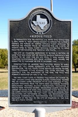
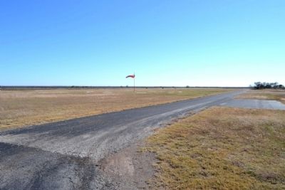
The city of Stamford responded by buying a section of land that was once a part of Swante Magnus Swenson’s SMS Ranch to be used for an air field. It was named for Stamford businessman Roy Wade Arledge, who headed the committee to purchase the site in December 1940.
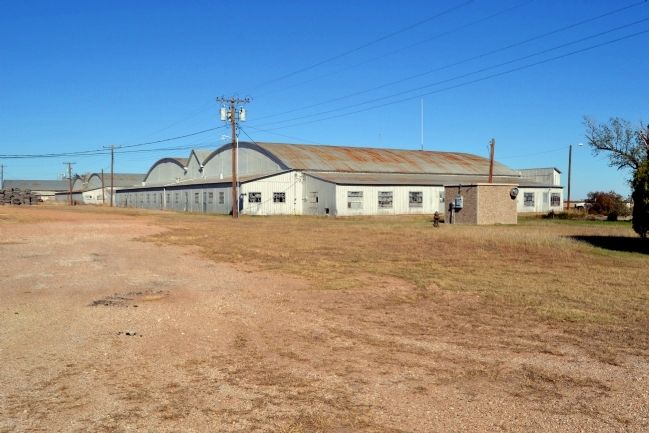
Construction of Arledge Field facilities began in early spring of 1941 under agreement with the first training contractor, the Lou Foote Flying Service of Grand Prairie, Texas. Coleman Flying School, Ltd. Later assumed the contract for the remainder of the war. The field was formally dedicated on May 17-18, 1941.
The first cadet class at Arledge Field began on March 15, 1941. Civilian flying and ground school instructors trained the air cadets using Stearman PT-17s and Fairchild PT-19As. Military personnel from the 308th Army Air Forces Training Detachment provided military instruction. Following a twelve-week training course, graduating cadets moved to larger air bases for basic and advanced flight training by Air Corps instructors. The final cadet class at Arledge Field graduated on September 30, 1944. The Reconstruction Finance Corporation transferred the buildings and equipment at the field to the city of Stamford in 1947 for use as a public airport.
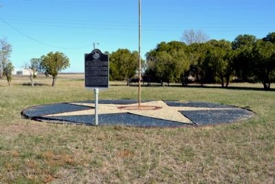
Erected 2005 by Texas Historical Commission. (Marker Number 13400.)
Topics. This historical marker is listed in these topic lists: Air & Space • War, World II. A significant historical month for this entry is March 1891.
Location. 32° 54.483′ N, 99° 44.27′ W. Marker is near Avoca, Texas, in Jones County. Marker is on County Road 704, 0.6 miles south of County Road 210, on the right when traveling north. Touch for map. Marker is in this post office area: Avoca TX 79503, United States of America. Touch for directions.
Other nearby markers. At least 8 other markers are within 6 miles of this marker, measured as the crow flies. Spring Creek Cemetery (approx. 3.1 miles away); St. John's Methodist (approx. 4.4 miles away); Swenson Land and Cattle Company Headquarters (approx. 4˝ miles away); New Hope Cemetery (approx. 4˝ miles away); First Baptist Church (approx. 4.7 miles away); Stamford (approx. 5 miles away); Bethel Lutheran Church (approx. 5.1 miles away); First AQHA Show (approx. 5.2 miles away). Touch for a list and map of all markers in Avoca.
Also see . . . Arledge Field. From the Texas State Historical Association’s “Handbook of Texas Online”. (Submitted on November 25, 2014.)
Credits. This page was last revised on June 16, 2016. It was originally submitted on November 25, 2014, by Duane Hall of Abilene, Texas. This page has been viewed 579 times since then and 26 times this year. Photos: 1, 2, 3, 4, 5, 6. submitted on November 25, 2014, by Duane Hall of Abilene, Texas.
