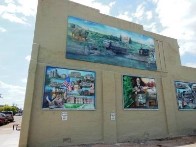
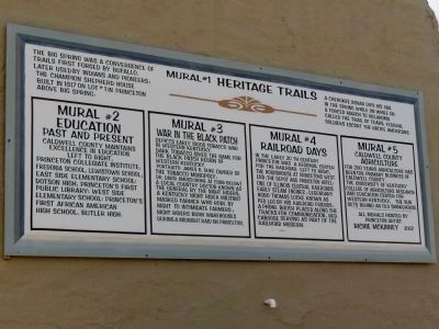
Princeton in Caldwell County, Kentucky — The American South (East South Central)
Black Patch War
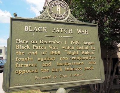
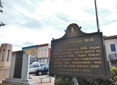
Here on December 1, 1906, began Black Patch War, which lasted to the end of 1908. “Night Riders” fought against non-cooperative farmers and businessmen who opposed the dark tobacco pool.
Erected 2005 by Glenn E. Martin, Kentucky Historical Society and Kentucky Department of Highways. (Marker Number 145.)
Topics and series. This memorial is listed in these topic lists: Government & Politics • Horticulture & Forestry • Industry & Commerce. In addition, it is included in the Kentucky Historical Society series list. A significant historical month for this entry is December 1843.
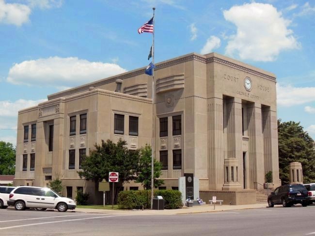
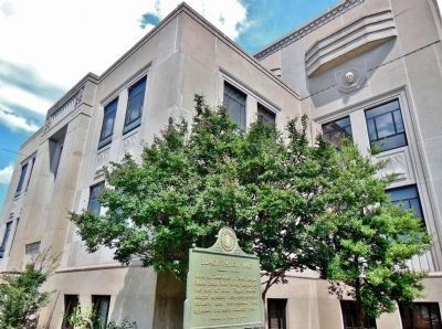
Location. 37° 6.542′ N, 87° 52.936′ W. Marker is in Princeton, Kentucky, in Caldwell County. Memorial is at the intersection of North Harrison Street and West Main Street, on the left when traveling south on North Harrison Street. Marker is near the sidewalk at the southwest corner of the Caldwell County Courthouse, Courthouse Square, Princeton, Kentucky. Touch for map. Marker is at or near this postal address: 100 East Market Street, Princeton KY 42445, United States of America. Touch for directions.
Other nearby markers. At least 8 other markers are within walking distance of this marker. Courthouse Burned (within shouting distance of this marker); County Named, 1809 (within shouting distance of this marker); William Prince, 1752-1810 / Founder of Princeton (about 500 feet away, measured in a direct line); Shandy Hall (Princeton) (about 500 feet away); Trail of Tears (about 500 feet away); a different marker also named Shandy Hall (Princeton) (about 600 feet away); a different marker also named William Prince (about 700 feet away); Ogden Memorial United Methodist Church (about 800 feet away). Touch for a list and map of all markers in Princeton.
Also see . . . War in the Black Patch (1906-1911). Christian County, Kentucky, History and Genealogy website entry:
During the period between 1900 and 1906 trouble began to brew among the tobacco men of the state, especially in the Black Patch area around Hopkinsville. the buyers had formed a trust and were controlling the market. (Submitted on November 25, 2014, by Cosmos Mariner of Cape Canaveral, Florida.)
Photographed By Cosmos Mariner, June 7, 2012
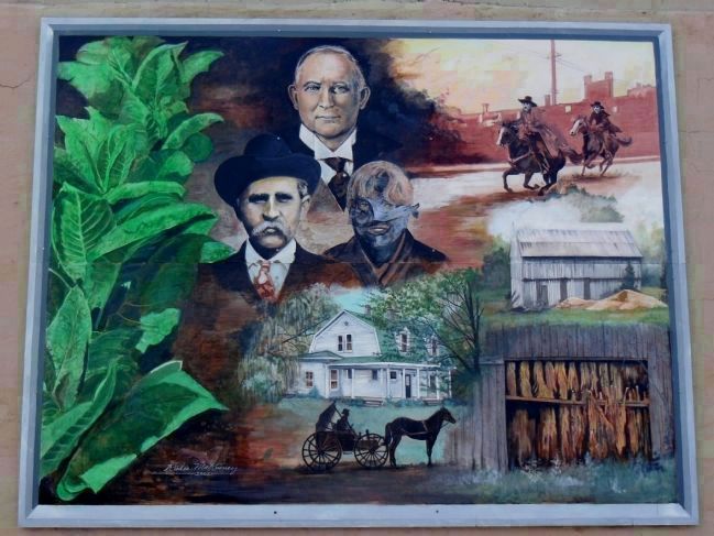
7. War in the Black Patch (Mural #3)
Depicts early 1900s tobacco war in western Kentucky. Dark tobacco is the name for the black patch region of western Kentucky.
Portraits:
James B. Duke, owner of the tobacco monopoly;
Dr. David Amoss, a local country doctor known as “The General” by the Night Riders;
A Kentucky Night Rider militant masked farmer who rode by night to intimidate farmers;
Credits. This page was last revised on January 3, 2022. It was originally submitted on November 25, 2014, by Cosmos Mariner of Cape Canaveral, Florida. This page has been viewed 650 times since then and 38 times this year. Photos: 1, 2, 3, 4, 5, 6, 7. submitted on November 25, 2014, by Cosmos Mariner of Cape Canaveral, Florida. • Al Wolf was the editor who published this page.
