Marion in Crittenden County, Kentucky — The American South (East South Central)
Courthouse Burned
[front side]
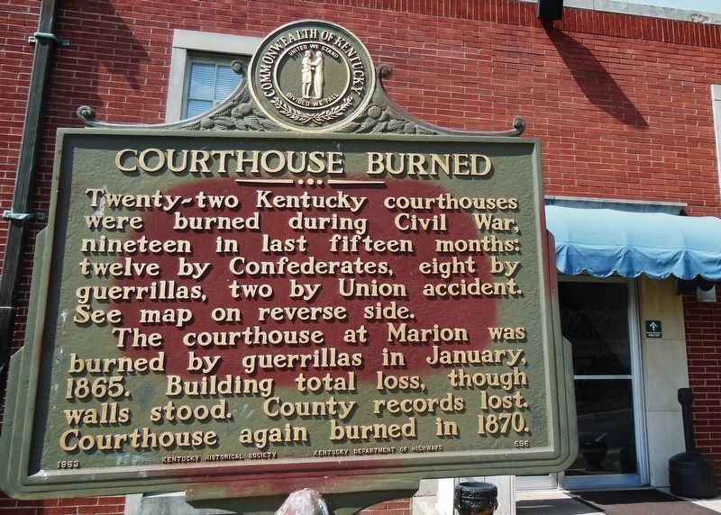
Twenty-two Kentucky courthouses were burned during Civil War, nineteen in last fifteen months: twelve by Confederates, eight by guerrillas, two by Union accident. See map on reverse side.
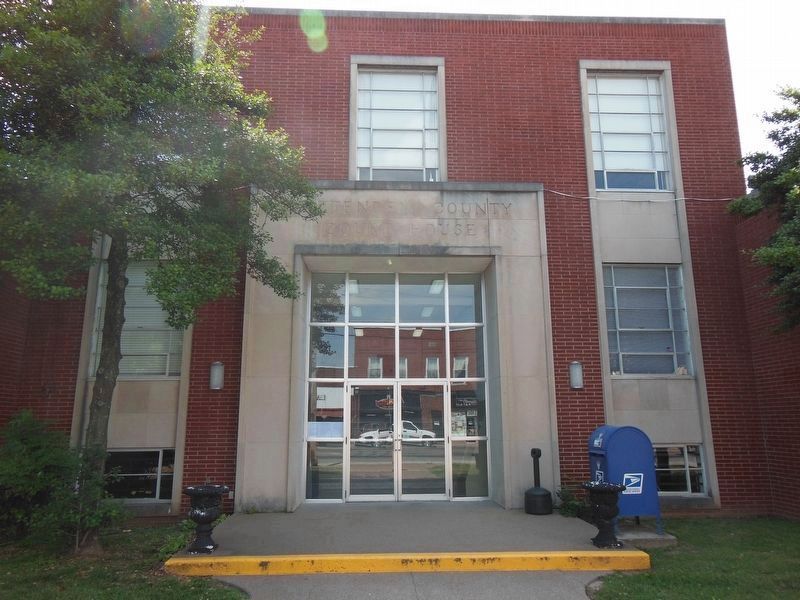
The courthouse at Marion was burned by guerrillas in January, 1865. Building total loss, though walls stood. County records lost. Courthouse again burned in 1870.
[back side]
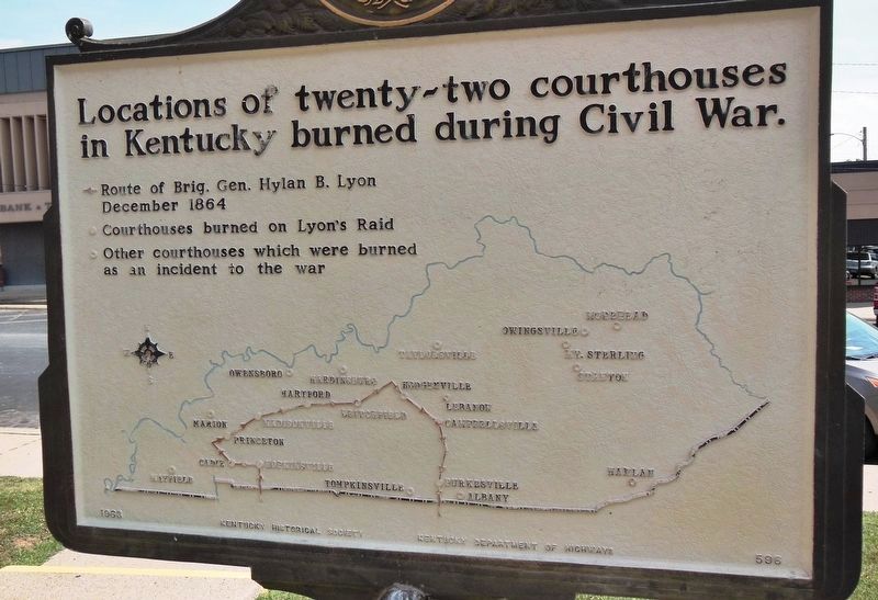
Locations of twenty-two courthouses in Kentucky burned during the Civil War.
• Route of Brig. Gen. Hylan B. Lyon December 1864
• Courthouses burned on Lyon's Raid
• Other courthouses which were burned as an incident to the war
Erected 1960 by Kentucky Historical Society and Kentucky Department of Highways. (Marker Number 596.)
Topics and series. This historical marker is listed in this topic list: War, US Civil. In addition, it is included in the Kentucky Historical Society series list. A significant historical month for this entry is January 1865.
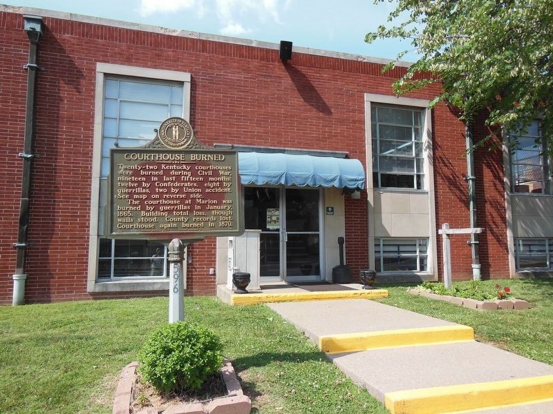
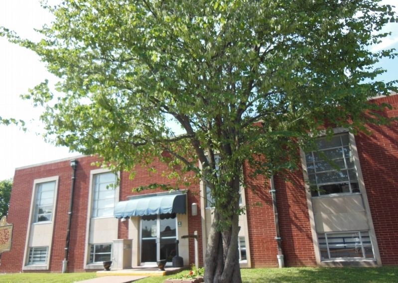
Location. 37° 19.948′ N, 88° 4.908′ W. Marker is in Marion, Kentucky, in Crittenden County. Marker is on Carlisle Street just west of South Main Street (U.S. 60), on the right when traveling west. Marker is located on the Crittenden County Courthouse grounds, beside the sidewalk leading to the south entrance. Touch for map. Marker is at or near this postal address: 107 South Main Street, Marion KY 42064, United States of America. Touch for directions.
Other nearby markers. At least 8 other markers are within 3 miles of this marker, measured as the crow flies. Crittenden County Courthouse, Marion (here, next to this marker); County Named, 1842 (within shouting distance of this marker); In Honor of Crittenden Countian Dr. Forrest Carlisle Pogue, Jr. (within shouting distance of this marker); Senator W. J. Deboe / Senators from Marion (about 600 feet away, measured in a direct line); Family of Judges (approx. 0.2 miles away); F. Julius Fohs (1884-1965) / Fohs Hall (approx. 0.2 miles away); Forrest Reconnoitered (approx. 1.3 miles away); Chapel Hill Presbyterian Church / Pioneer Church (approx. 2.7 miles away). Touch for a list and map of all markers in Marion.
Related markers. Click here for a list of markers that are related to this marker. Twenty-two Kentucky courthouses were burned during the Civil War.
Also see . . . Civil War In Crittenden County. Marion, located in Crittenden County, Kentucky, appears to have been fairly regularly visited by Federal Troops, although it rarely served as a military target. More commonly, Crittenden County was an east-west thorough fare for Federal Troops or it suffered spillover effects from the Union County operations. Two documented skirmishes took place in the county. (Submitted on November 27, 2014, by Cosmos Mariner of Cape Canaveral, Florida.)
Credits. This page was last revised on April 14, 2021. It was originally submitted on November 26, 2014, by Cosmos Mariner of Cape Canaveral, Florida. This page has been viewed 627 times since then and 32 times this year. Photos: 1, 2, 3, 4, 5. submitted on April 13, 2021, by Cosmos Mariner of Cape Canaveral, Florida. • Bill Pfingsten was the editor who published this page.
