Near Horse Cave in Barren County, Kentucky — The American South (East South Central)
Bear Wallow
Photographed by Cosmos Mariner, June 6, 2012
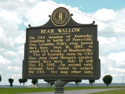
1. Bear Wallow Marker
On CSA invasion of Kentucky, resulting in battle of Perryville, Gen. Leonidas Polk’s wing moved thru here, Sept. 16, 1862, to attack USA troops at Munfordville.
Two of Kentucky raids by CSA Gen. John Hunt Morgan’s cavalry routed thru here, July 10 and Dec. 25, 1862. On second raid, skirmish here failed to retard the CSA. See map other side.
Erected 1964 by Kentucky Historical Society and Kentucky Department of Highways. (Marker Number 698.)
Topics and series. This historical marker is listed in this topic list: War, US Civil. In addition, it is included in the Kentucky Historical Society series list. A significant historical month for this entry is July 1812.
Location. Marker has been reported missing. It was located near 37° 8.498′ N, 85° 51.751′ W. Marker was near Horse Cave, Kentucky, in Barren County. It was on North Jackson Highway (U.S. 31E) 2.3 miles south of Kentucky Route 218, on the left when traveling south. Touch for map. Marker was in this post office area: Cave City KY 42127, United States of America. Touch for directions.

Regionally, this marker was in Mammoth Cave Country and in the Pennyroyal Region.
this page online
Other nearby markers. At least 8 other markers are within 6 miles of this location, measured as the crow flies: Lt. Gov. James G. Hardy (approx. 0.8 miles away); Lt. Charles Moran - USAF (approx. 3.6 miles away); Partisan Protected (approx. 4.7 miles away); First Farmers Rural Electric Co-Op Substation (approx. 4.9 miles away); Unknown Confederate Soldier Monument (approx. 5.1 miles away); Historic Reynolds House (approx. 5.3 miles away); Cave City Raid (approx. 5.3 miles away); Floyd Collins (approx. 5.3 miles away). Touch for a list and map of all markers in Horse Cave.
Also see . . . John Hunt Morgan. Wikipedia entry (Submitted on April 11, 2022, by Larry Gertner of New York, New York.)
Photographed by Cosmos Mariner, June 6, 2012
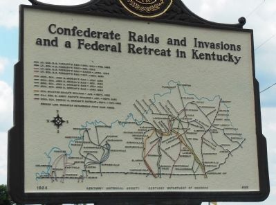
2. Bear Wallow Marker (side 2)
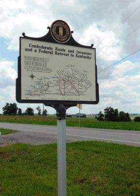
Map of onfederate raids and invasions in Kentucky.
Photographed by Cosmos Mariner, June 6, 2012
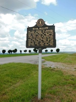
3. Bear Wallow Marker
Photographed by Cosmos Mariner, June 6, 2012
4. Bear Wallow Marker (side 2)
Credits. This page was last revised on April 11, 2022. It was originally submitted on November 27, 2014, by Cosmos Mariner of Cape Canaveral, Florida. This page has been viewed 1,748 times since then and 61 times this year. Photos: 1, 2, 3, 4. submitted on November 27, 2014, by Cosmos Mariner of Cape Canaveral, Florida. • Bernard Fisher was the editor who published this page.
