General Custer in Nebraska
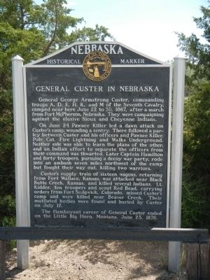
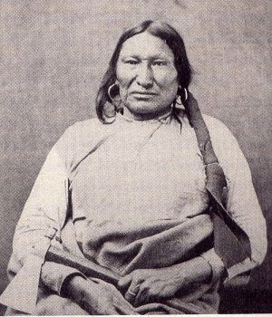
On June 24 Pawnee Killer led a dawn attack on Custer’s camp, wounding a sentry. There followed a parley between Custer and his officers and Pawnee Killer, Pole Cat, Fire Lightning and Walks Underground. Neither side was able to learn the plans of the other, and an Indian effort to separate the officers from their command was thwarted. Later Captain Hamilton and forty troopers, pursuing a decoy war party, rode into an ambush seven miles northwest of the camp but fought their way out, killing two warriors.
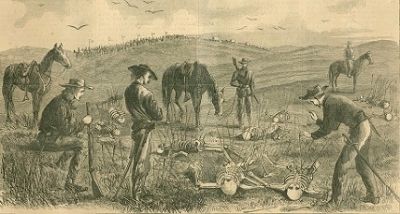
Custer’s supply train of sixteen wagons, returning from Fort Wallace, Kansas, was attacked near Black Butte Creek, Kansas, and killed several Indians. Lt. Kidder, ten troopers and scout Red Bead, carrying orders from Fort Sedgwick, Colorado, missed Custer’s camp and were killed near Beaver Creek. Their mutilated bodies were found and buried by Custer on July 12.
The
this page online
Erected by Dundy County Historical Society & Nebraska State Historical Society. (Marker Number 22.)
Topics and series. This historical marker is listed in this topic list: Wars, US Indian. In addition, it is included in the Nebraska State Historical Society series list. A significant historical month for this entry is June 1886.
Location. 40° 2.271′ N, 101° 32.577′ W. Marker is near Benkelman, Nebraska, in Dundy County. It is on U.S. 34, on the right when traveling north. Touch for map. Marker is at or near this postal address: US Highway 34, Benkelman NE 69021, United States of America. Touch for directions.

Regionally, this marker is in Eastern Nebraska. It is also in the American Midwest, in the Corn Belt, on the prairies, on the Great Plains, and specifically on the High Plains. Globally, it is in North America, the Western Hemisphere, the Western World, and the Anglosphere. Historically, it finds itself in what was once the Louisiana Purchase.
Other nearby markers. At least 3 other markers are within 11 miles of this marker, measured
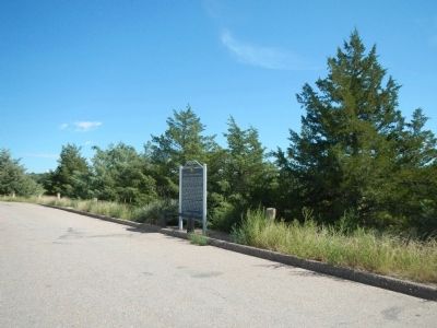
More about this marker. This marker is just south of Benkelman.
Credits. This page was last revised on June 16, 2016. It was originally submitted on November 28, 2014, by Barry Swackhamer of Brentwood, California. This page has been viewed 1,218 times since then and 81 times this year. Photos: 1. submitted on November 28, 2014, by Barry Swackhamer of Brentwood, California. 2. submitted on November 30, 2014, by Barry Swackhamer of Brentwood, California. 3, 4. submitted on November 28, 2014, by Barry Swackhamer of Brentwood, California. • Bill Pfingsten was the editor who published this page.
