Fly in Monroe County, Ohio — The American Midwest (Great Lakes)
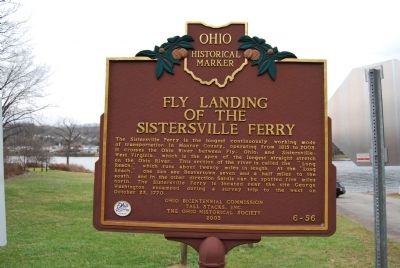
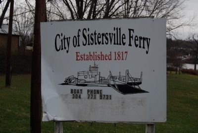
Fly Landing of the Sistersville Ferry
Inscription.
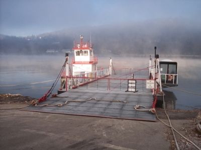
The Sistersville Ferry is the longest continuously working mode of transportation in Monroe County, operating from 1815 to 2003. It crosses the Ohio River between Fly, Ohio, and Sistersville, West Virginia, which is the apex of the longest straight stretch on the Ohio River. This section of the river is called the "Long Reach," which runs about twenty miles in length. At the "Long Reach," one can see Beavertown seven and a half miles to the south, and in the other direction Sardis can be spotted five miles north. The Sistersville Ferry is located near the site George Washington encamped during a survey trip to the west on October 25, 1770.
Erected 2003 by Ohio Bicentennial Commission, Tall Stacks, Inc., and The Ohio Historical Society. (Marker Number 6-56.)
Topics and series. This historical marker is listed in this topic list: Waterways & Vessels. In addition, it is included in the Ohio Historical Society / The Ohio History Connection series list. A significant historical month for this entry is October 1770.
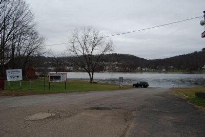
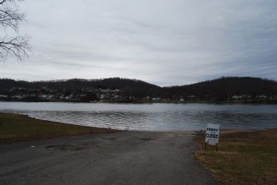
Location. 39° 33.996′ N, 81° 0.268′ W. Marker is in Fly, Ohio, in Monroe County. Marker can be reached from Ohio River Scenic Byway (Ohio Route 7). Located at the entrance to the ferry landing. Touch for map. Marker is in this post office area: New Matamoras OH 45767, United States of America. Touch for directions.
Other nearby markers. At least 8 other markers are within 6 miles of this marker, measured as the crow flies. George Washington (about 600 feet away, measured in a direct line); Little Sister (approx. 0.3 miles away in West Virginia); "Big Moses" Well / Polecat Oil Well (approx. 0.3 miles away in West Virginia); Sistersville (approx. half a mile away in West Virginia); Wells Family Cemetery (approx. 0.6 miles away in West Virginia); Matamoras World War I Monument (approx. 4.4 miles away); James Riggs Family (approx. 4.6 miles away); Sardis Veterans Monument (approx. 6 miles away).
Also see . . . Sistersville Ferry. (Submitted on November 29, 2014, by Mike Wintermantel of Pittsburgh, Pennsylvania.)
Credits. This page was last revised on August 5, 2018. It was originally submitted on November 29, 2014, by Mike Wintermantel of Pittsburgh, Pennsylvania. This page has been viewed 665 times since then and 32 times this year. Photos: 1, 2, 3, 4, 5, 6. submitted on November 29, 2014, by Mike Wintermantel of Pittsburgh, Pennsylvania.
