Norwayne in Westland in Wayne County, Michigan — The American Midwest (Great Lakes)
Norwayne Subdivision
Side 1
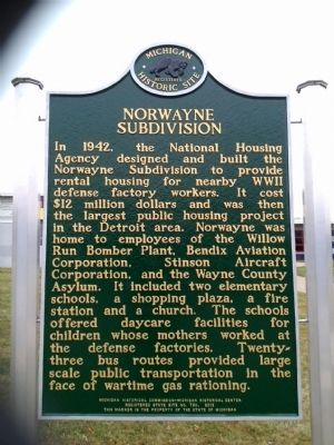
In 1942, the National Housing Agency designed and built the Norwayne Subdivision to provide rental housing for nearby WWII defense factory workers. It cost $12 million dollars and was then the largest public housing project in the Detroit area. Norwayne was home to employees of the Willow Run Bomber Plant, Bendix Aviation Corporation, Stinson Aircraft Corporation, and the Wayne County Asylum. It included two elementary schools, a shopping plaza, a fire station and a church. The schools offered daycare facilities for children whose mothers worked at the defense factories. Twenty-three bus routes provided large scale public transportation in the face of wartime gas rationing.
Side 2
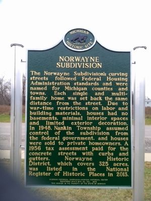
The Norwayne Subdivision's curving streets followed Federal Housing Administration standards and were named for Michigan counties and towns. Each single and multi-family home was set back the same distance from the street. Due to war-time restrictions on labor and building materials, houses had no basements, minimal interior spaces and limited exterior decoration. In 1948, Nankin Township assumed control of the subdivision from the federal government, and houses were sold to private homeowners. A 1956 tax assessment paid for the concrete streets with curbs and gutters. Norwayne Historic District, which covers 325 acres, was listed in the National Register of Historic Places in 2013.
Erected 2013 by Michigan Historical Commission-Michigan Department of State. (Marker Number S730.)
Topics and series. This historical marker is listed in this topic list: War, World II. In addition, it is included in the Michigan Historical Commission series list. A significant historical year for this entry is 1942.
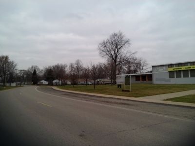
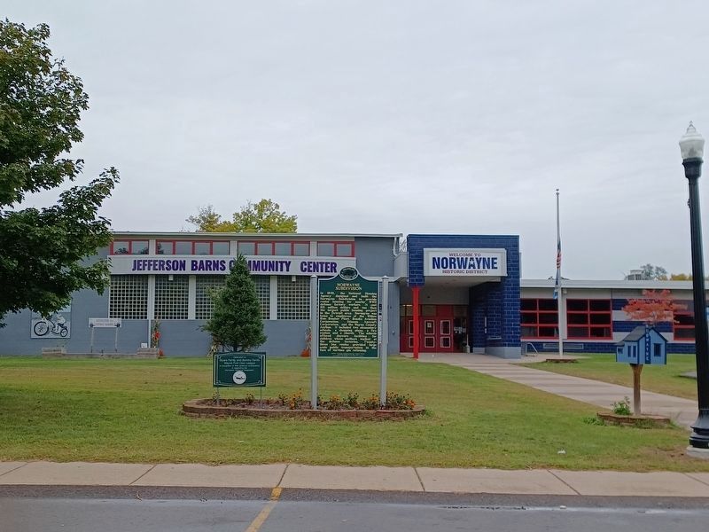
Location. 42° 17.552′ N, 83° 21.371′ W. Marker is in Westland, Michigan, in Wayne County. It is in Norwayne. Marker is on Dorsey Street, 0.4 miles west of Merriman Road, on the right when traveling west. Touch for map. Marker is at or near this postal address: 32150 Dorsey Street, Westland MI 48186, United States of America. Touch for directions.
Other nearby markers. At least 8 other markers are within 2 miles of this marker, measured as the crow flies. Eloise (approx. ¾ mile away); Johnson's Tavern (approx. 1.6 miles away); Veteran's Peace Memorial (approx. 1.6 miles away); First Congregational Church (approx. 1.6 miles away); City of Wayne (approx. 1.7 miles away); Old Wayne Village Hall (approx. 1.7 miles away); Old Wayne Cemetery (approx. 1.7 miles away); Samuel Tobyne - 1827 (approx. 1.9 miles away).
Related markers. Click here for a list of markers that are related to this marker. "Willow Run", "Eloise"
Also see . . .
1. Willow Run. Wikipedia entry (Submitted on December 1, 2014, by Joel Seewald of Madison Heights, Michigan.)
2. Stinson Aircraft Company. Wikipedia entry (Submitted on December 1, 2014, by Joel Seewald of Madison Heights, Michigan.)
Credits. This page was last revised on February 12, 2023. It was originally submitted on December 1, 2014, by Joel Seewald of Madison Heights, Michigan. This page has been viewed 1,191 times since then and 145 times this year. Photos: 1, 2, 3. submitted on December 1, 2014, by Joel Seewald of Madison Heights, Michigan. 4. submitted on September 26, 2022, by Joel Seewald of Madison Heights, Michigan. 5. submitted on December 1, 2014, by Joel Seewald of Madison Heights, Michigan. • Al Wolf was the editor who published this page.
