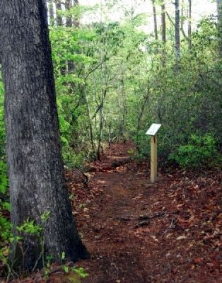
Near Greer in Greenville County, South Carolina — The American South (South Atlantic)
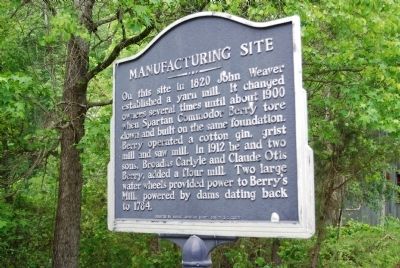
Manufacturing Site
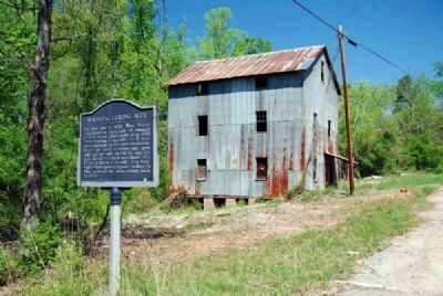
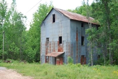
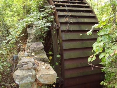
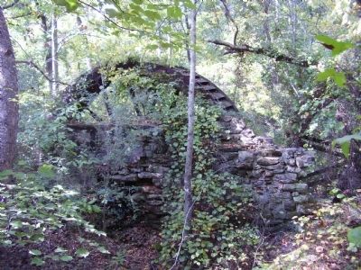
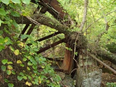
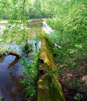
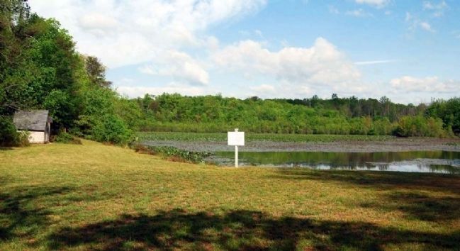
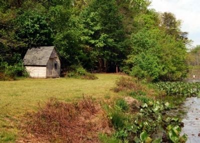
On this site in 1820 John Weaver established a yarn mill. It changed owners several times until about 1900 when Spartan Commodor Berry tore down and built on the same foundation. Berry operated a cotton gin, grist mill and saw mill. In 1912 he and two sons, Broadus Carlyle and Claude Otis Berry added a flour mill. Two large water wheels provided power to Berry's Mill, powered by dams dating back to 1764.
Erected by Horace Spartan Berry, Son of B.C. Berry.
Topics. This historical marker is listed in these topic lists: Industry & Commerce • Waterways & Vessels. A significant historical year for this entry is 1820.
Location. Marker has been reported missing. It was located near 35° 1.522′ N, 82° 16.022′ W. Marker was near Greer, South Carolina, in Greenville County. Marker was at the intersection of State Highway 14 and Berry Mill Road, on the right when traveling north on State Highway 14. Touch for map. Marker was in this post office area: Greer SC 29651, United States of America. Touch for directions.
Other nearby markers. At least 10 other markers are within 5 miles of this location, measured as the crow flies. O'Neal Village (approx. 1.6 miles away); William Few Bridge (approx. 2.7 miles away); Gilreath's Mill (approx. 3.7 miles away); Campbell's Covered Bridge (approx. 4.2 miles away); a different marker also named Campbell’s Covered Bridge (approx. 4.2 miles away); a different marker also named Campbell's Covered Bridge (approx. 4.2 miles away); Holly Springs (approx. 4.8 miles away); Holly Springs Rock Wall (approx. 4.8 miles away); Holly Springs School (approx. 4.9 miles away); Holly Springs Baptist Church (approx. 4.9 miles away). Touch for a list and map of all markers in Greer.
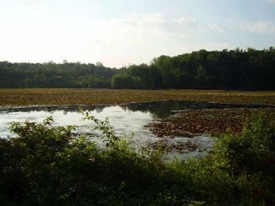
Photographed By Stanley and Terrie Howard, June 23, 2009
7. Berry's Mill Lake
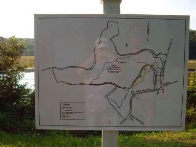
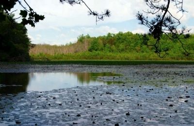
Berry’s Mill is another site with both environmental and historic significance. This beautiful site in northern Greenville County contains the foundation of a textile mill that was established in 1820, making it one of the first textile manufacturing operations in South Carolina. Its 27-acre mill pond is over 100 years old, and upstream are over 20 acres of wetlands that provide valuable habitat for wildlife. Beaverdam Creek, which flows through the property, is a tributary to the Middle Tyger River, one of the principal sources of the water supply in western Spartanburg County. SJWD Water District acquired the property from Ladson and Carl Berry, direct descendants of the original owner, and then granted a conservation easement to Upstate Forever to ensure preservation of the site, which is an important part of the watershed that supplies drinking water to SJWD’s customers. This is only the second easement by a government entity in the Upstate.
Credits. This page was last revised on January 23, 2020. It was originally submitted on May 26, 2008, by Brian Scott of Anderson, South Carolina. This page has been viewed 2,704 times since then and 104 times this year. Photos: 1. submitted on May 26, 2008, by Brian Scott of Anderson, South Carolina. 2. submitted on May 1, 2009, by Brian Scott of Anderson, South Carolina. 3. submitted on May 26, 2008, by Brian Scott of Anderson, South Carolina. 4, 5, 6. submitted on October 11, 2008, by Stanley and Terrie Howard of Greer, South Carolina. 7, 8. submitted on June 23, 2009, by Stanley and Terrie Howard of Greer, South Carolina. 9, 10, 11, 12, 13, 14, 15, 16. submitted on May 16, 2010, by Brian Scott of Anderson, South Carolina. • Kevin W. was the editor who published this page.
