Near Torrington in Goshen County, Wyoming — The American West (Mountains)
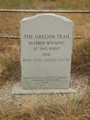
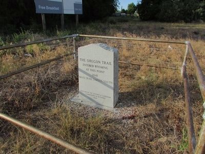
The Oregon Trail
at this point
1841
Main trail 3 miles South
Erected 1943 by Historical Landmark Commission of Wyoming.
Topics and series. This historical marker is listed in these topic lists: Roads & Vehicles • Settlements & Settlers. In addition, it is included in the Oregon Trail series list. A significant historical year for this entry is 1841.
Location. 42° 0.224′ N, 104° 3.249′ W. Marker is near Torrington, Wyoming, in Goshen County. Marker is on U.S. 26 near Road 63 (County Route 197), on the right when traveling west. Touch for map. Marker is in this post office area: Torrington WY 82240, United States of America. Touch for directions.
Other nearby markers. At least 8 other markers are within 8 miles of this marker, measured as the crow flies. A different marker also named Oregon Trail (approx. 3.1 miles away in Nebraska); “The Great Smoke” (approx. 3.2 miles away in Nebraska); The Road to Zion (approx. 3.2 miles away in Nebraska); Stuart’s 1812-13 Astorian Party Campsite (approx. 3˝ miles away); a different marker also named Oregon Trail (approx. 7.1 miles away); Cold Springs (approx. 7.1 miles away); Empire, Wyoming: African American Community Building in the West (approx. 7.3 miles away); a different marker also named Oregon Trail (approx. 7.3 miles away). Touch for a list and map of all markers in Torrington.
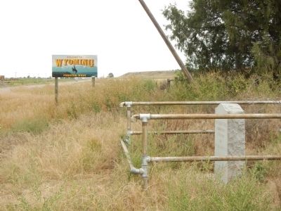
More about this marker. This marker is just west of the Wyoming/Nebraska border.
Credits. This page was last revised on June 16, 2016. It was originally submitted on December 17, 2014, by Barry Swackhamer of Brentwood, California. This page has been viewed 657 times since then and 41 times this year. Photos: 1. submitted on December 17, 2014, by Barry Swackhamer of Brentwood, California. 2. submitted on August 2, 2015, by Bill Coughlin of Woodland Park, New Jersey. 3. submitted on December 17, 2014, by Barry Swackhamer of Brentwood, California. • Andrew Ruppenstein was the editor who published this page.


