Sterling in Cayuga County, New York — The American Northeast (Mid-Atlantic)
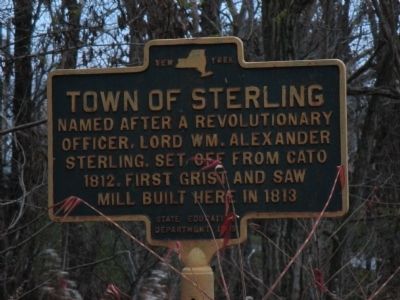
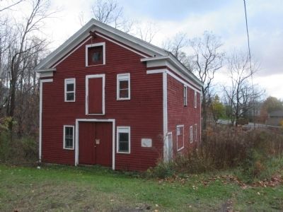
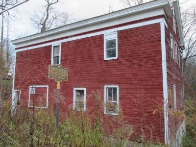
Town of Sterling
Named after a Revolutionary
officer, Lord Wm. Alexander
Sterling. Set off from Cato
1812. First grist and saw
mill built here in 1813
Erected 1935 by New York State Education Department.
Topics. This historical marker is listed in these topic lists: Settlements & Settlers • War, US Revolutionary. A significant historical year for this entry is 1812.
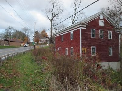
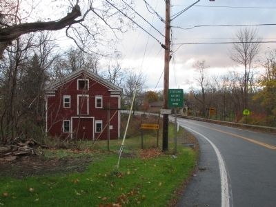
Location. 43° 19.519′ N, 76° 38.809′ W. Marker is in Sterling, New York, in Cayuga County. Marker is on New York State Route 104A near Center Road (County Route 98). Marker is at the northeast approach of the small bridge over Sutter Creek. Touch for map. Marker is in this post office area: Sterling NY 13156, United States of America. Touch for directions.
Other nearby markers. At least 8 other markers are within 3 miles of this marker, measured as the crow flies. School House Built 1825 (about 500 feet away, measured in a direct line); Railway Signal Tower (about 600 feet away); Site of First Baptist Church of Sterling (about 600 feet away); District School # 5 (about 600 feet away); Patriot Burials (approx. 0.2 miles away); Sterling Valley (approx. 1.8 miles away); George E. Ingersol (approx. 2.9 miles away); Honoring All Men and Women (approx. 3 miles away). Touch for a list and map of all markers in Sterling.
Related marker. Click here for another marker that is related to this marker. In honor of William Alexander, Lord Stirling.
Also see . . .
1. William Alexander - Wikipedia. (Submitted on December 19, 2014, by Anton Schwarzmueller of Wilson, New York.)
2. Sterling Grist Mill Complex - National Archives. National Register of Historic Places documentation (Submitted on October 26, 2023, by Anton Schwarzmueller of Wilson, New York.)
Credits. This page was last revised on October 26, 2023. It was originally submitted on December 19, 2014, by Anton Schwarzmueller of Wilson, New York. This page has been viewed 556 times since then and 36 times this year. Photos: 1, 2, 3, 4, 5, 6. submitted on December 19, 2014, by Anton Schwarzmueller of Wilson, New York. • Bill Pfingsten was the editor who published this page.
