Near Fort Washington in Prince George's County, Maryland — The American Northeast (Mid-Atlantic)
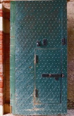
Main Gateway
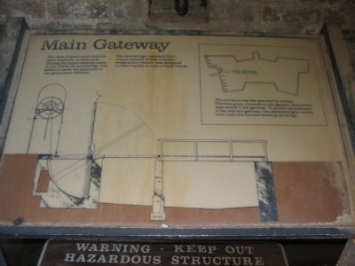
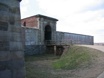
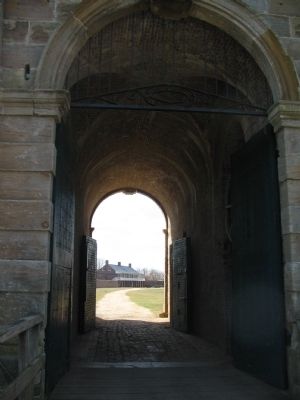
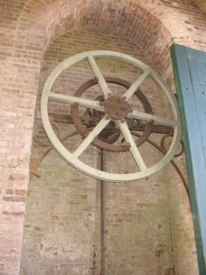
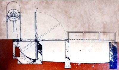
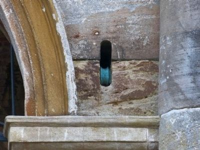
The drawbridge, operated by a unique system of iron counterweights and chains, was designated to close rapidly in case of land attack.
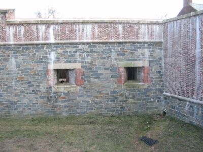
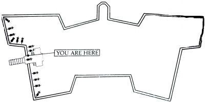
(Sidebar): The entrance was also guarded by cannon. Thirteen guns, mounted on the parapet, covered the approaches to the gateway. To protect the area next to the wall and gateway, two casemates (gun rooms) were built into the wall flanking the bridge.
Topics. This historical marker is listed in this topic list: Forts and Castles.
Location. 38° 42.7′ N, 77° 2.042′ W. Marker is near Fort Washington, Maryland, in Prince George's County. Marker can be reached from Fort Washington Road, on the right when traveling south. Located in Fort Washington Park, at the entrance to the fort. Touch for map. Marker is at or near this postal address: 13551 Fort Washington Road, Fort Washington MD 20744, United States of America. Touch for directions.
Other nearby markers. At least 8 other markers are within walking distance of this marker. The Northwest Demi-Bastion (a few steps from this marker); Caponiere (about 300 feet away, measured in a direct line); Water Battery (about 400 feet away); Capital Guardian (about 400 feet away); a different marker also named Capital Guardian (about 400 feet away); a different marker also named Capital Guardian (about 400 feet away); a different marker also named The Water Battery (about 400 feet away); New Guns for an Old Fort (about 400 feet away). Touch for a list and map of all markers in Fort Washington.
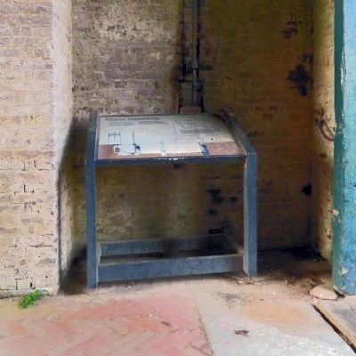
More about this marker. The markers displays a line drawing of the drawbridge and gate workings. In the sidebar is an plan of the fort, indicating the location of the gateway and the guns covering the entrance.
Also see . . . Fort Washington. National Park Service site. (Submitted on May 28, 2008, by Craig Swain of Leesburg, Virginia.)
Photographed By Allen C. Browne, December 7, 2013
8. You are Here
The entrance was also guarded by cannon. Thirteen guns, mounted on the parapet, covered the approaches to the gateway. To protect the area next to the wall and gateway, two casemates (gun rooms) were built into the wall flanking the bridge.Close-up of map on marker
Credits. This page was last revised on June 16, 2016. It was originally submitted on May 28, 2008, by Craig Swain of Leesburg, Virginia. This page has been viewed 1,259 times since then and 19 times this year. Photos: 1. submitted on May 28, 2008, by Craig Swain of Leesburg, Virginia. 2. submitted on November 30, 2014, by Allen C. Browne of Silver Spring, Maryland. 3, 4, 5, 6. submitted on May 28, 2008, by Craig Swain of Leesburg, Virginia. 7, 8, 9, 10. submitted on November 30, 2014, by Allen C. Browne of Silver Spring, Maryland.
