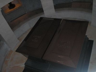
Morningside Heights in Manhattan in New York County, New York — The American Northeast (Mid-Atlantic)
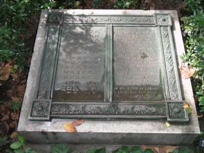
Tomb of General U.S. Grant
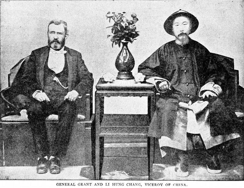
This tree is planted at the site of the tomb of General U.S. Grant, Ex-President of the United States of America, for the purpose of commemorating his greatness by Li Hung Chang, guardian of the Prince, Grand Secretary of State, Earl of the First Order, Yang Yu Envoy Extraordinary and Minister Plenipotentiary of China, Vice President of the Board of Censors Kwang Hsu 23rd year, 4th Moon, May 1897.
Erected 1897 by Li Hung Chang.
Topics and series. This historical marker is listed in these topic lists: Cemeteries & Burial Sites • Notable Places. In addition, it is included in the Former U.S. Presidents: #18 Ulysses S. Grant series list. A significant historical month for this entry is May 1897.
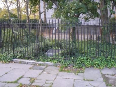
Location. 40° 48.82′ N, 73° 57.777′ W. Marker is in Manhattan, New York, in New York County. It is in Morningside Heights. Marker is at the intersection of Riverside Drive and W 122nd Street, on the left when traveling south on Riverside Drive. Marker is at the General Grant National Memorial, behind President Grant's mausoleum. Touch for map. Marker is in this post office area: New York NY 10027, United States of America. Touch for directions.
Other nearby markers. At least 8 other markers are within walking distance of this marker. Horace Porter (within shouting distance of this marker); Sakura Park (within shouting distance of this marker); Fred’k D. Grant (within shouting distance of this marker); General Grant Memorial (within shouting distance of this marker); a different marker also named Sakura Park (about 300 feet away, measured in a direct line); Japanese Lantern (about 300 feet away); International House (about 400 feet away); The Amiable Child Monument (about 400 feet away). Touch for a list and map of all markers in Manhattan.
More about this marker. The left side of the marker contains the same text in Chinese.
Also see . . . General Grant National Memorial. National Park Service website entry (Submitted on May 28, 2008, by Bill Coughlin of Woodland Park, New Jersey.)
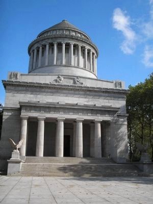
Photographed By Bill Coughlin, September 16, 2006
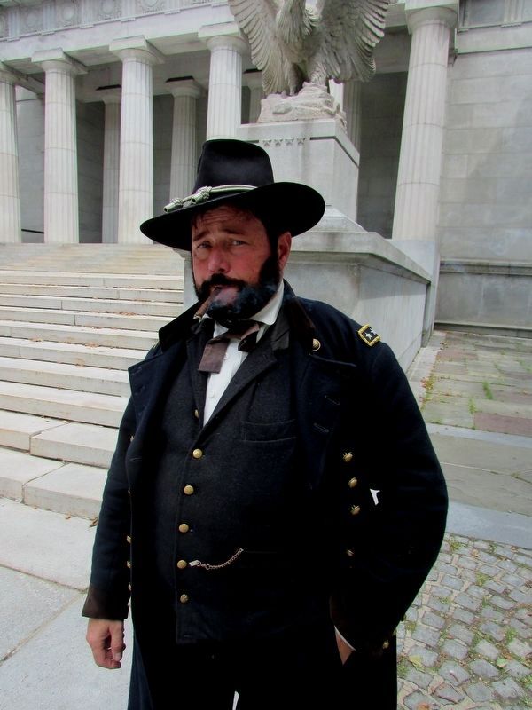
3. Grant's Tomb
General Grant National Memorial, commonly referred to as Grant's Tomb, is one of the largest mausoleums in the world. Reaching a height of 150 feet, it was built between 1892 and 1897, from 8,000 tons of granite. The marker is located behind this mausoleum.
Credits. This page was last revised on January 31, 2023. It was originally submitted on May 28, 2008, by Bill Coughlin of Woodland Park, New Jersey. This page has been viewed 1,870 times since then and 52 times this year. Photos: 1, 2, 3. submitted on May 28, 2008, by Bill Coughlin of Woodland Park, New Jersey. 4. submitted on July 24, 2016, by Bill Coughlin of Woodland Park, New Jersey. 5. submitted on December 1, 2018, by Allen C. Browne of Silver Spring, Maryland. 6. submitted on May 28, 2008, by Bill Coughlin of Woodland Park, New Jersey.
