Guernsey in Platte County, Wyoming — The American West (Mountains)
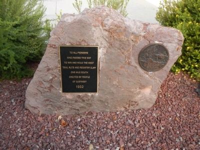
Oregon Trail
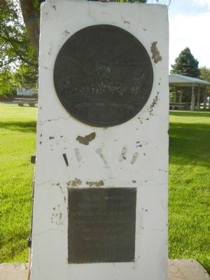
Who Passed This Way
To Win and Hold the West
Trail Ruts and Register Cliff
One Mile South
Erected 1932 by People of Guernsey.
Topics and series. This historical marker is listed in these topic lists: Roads & Vehicles • Settlements & Settlers. In addition, it is included in the Oregon Trail series list. A significant historical year for this entry is 1932.
Location. 42° 16.166′ N, 104° 44.439′ W. Marker is in Guernsey, Wyoming, in Platte County. Marker can be reached from East Whalen Street (U.S. 26) near South Dakota Avenue, on the left when traveling west. Touch for map. Marker is at or near this postal address: 133 East Whalen Street, Guernsey WY 82214, United States of America. Touch for directions.
Other nearby markers. At least 8 other markers are within walking distance of this marker. Guernsey War Memorial (within shouting distance of this marker); Historic Guernsey Area (within shouting distance of this marker); Fort Laramie (within shouting distance of this marker); Mexican Hill (within shouting distance of this marker); North Platte River (within shouting distance of this marker); Register Cliffs (within shouting distance of this marker); Guernsey Pipeline Station (within shouting distance of this marker); Sand Point (within shouting distance of this marker). Touch for a list and map of all markers in Guernsey.
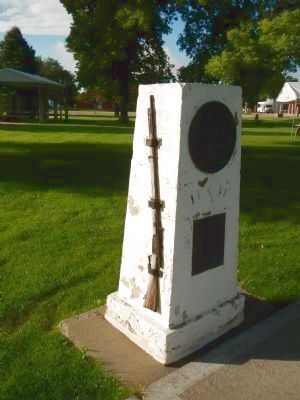
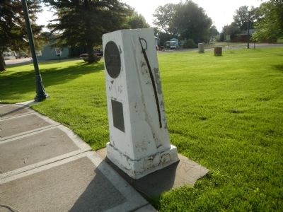
More about this marker. Two similar markers are located in the Guernsey city park.
Credits. This page was last revised on June 16, 2016. It was originally submitted on December 22, 2014, by Barry Swackhamer of Brentwood, California. This page has been viewed 413 times since then and 11 times this year. Photos: 1, 2, 3, 4. submitted on December 22, 2014, by Barry Swackhamer of Brentwood, California. • Andrew Ruppenstein was the editor who published this page.


