Near Louisbourg in Cape Breton Region, Nova Scotia — The Atlantic Provinces (North America)
Fortress of Louisbourg
La forteresse de Louisbourg
Photographed by Barry Swackhamer, July 3, 2014
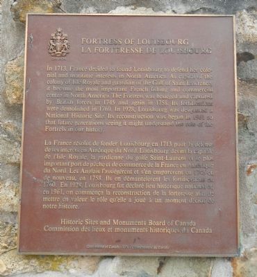
1. Fortress of Louisbourg Marker

English:
In 1713, France decided to found Louisbourg to defend her colonial and maritime interests in North America. As capital of the colony of Isle Royale and guardian the Gulf of Saint. Lawrence, it became the most important French fishing and commercial center in North America. The fortress was besieged and captured by British forces in 1745 and again in 1758. Its fortifications were demolished in 1760. In 1928, Louisbourg was designated a National Historic Site. Its reconstruction was begun in 1961 so that future generations seeing it might understand the role of the Fortress in our history.
French
this page online
Erected 1976 by Historic Sites and Monument Board of Canada/Commission de lieux et monuments historique du Canada.
Topics and series. This historical marker is listed in these topic lists: Forts and Castles • War, French and Indian. In addition, it is included in the Acadian History, and the Canada, Historic Sites and Monuments Board series lists. A significant historical year for this entry is 1713.
Location. 45° 54.576′ N, 59° 59.053′ W. Marker is near Louisbourg, Nova Scotia, in Cape Breton Region. It can be reached from Kennington Cove Road. Touch for map. Marker is at or near this postal address: 74 Kennington Cove Road, Louisbourg NS B1C 2J2, Canada. Touch for directions.

Regionally, this marker is on Nova Scotia’s Cape Breton Island. It is also in the Maritimes and in Atlantic Canada. Globally, it is in the North Atlantic Region, North America, the Western Hemisphere, the Western World, and the Anglosphere. Historically, it finds itself in what was once a British colony, the Viceroyalty of New France, and Acadia.
Photographed by Barry Swackhamer, July 3, 2014
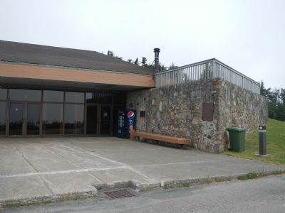
2. Fortress of Louisbourg Marker
Other nearby markers. At least 8 other markers are within 3 kilometers of this marker, measured as the crow flies: The Lobster Fishery (approx. 1.5 kilometers away); Fizel House (approx. 1.9 kilometers away); Marie Marguerite Rose (approx. 2 kilometers away); Slavery / Freedom (approx. 2 kilometers away); 19th-Century Lighthouse (approx. 2 kilometers away); First Lighthouse Tower (approx. 2 kilometers away); French Garrison at Louisbourg (approx. 2 kilometers away); First Lighthouse (approx. 2 kilometers away). Touch for a list and map of all markers in Louisbourg.
More about this marker. This marker is located at the shuttle bus stop of the Fortress Louisbourg Visitors Centre.
Also see . . . Fortress Louisbourg - Wikipedia. The original settlement was made in 1713, and initially called Havre à l'Anglois. Subsequently, the fishing port grew to become a major commercial port and a strongly defended fortress. The fortifications eventually surrounded the town. The walls were constructed mainly between 1720 and 1740. By the mid-1740s Louisbourg was one of the most extensive (and expensive) European fortifications constructed in North America.
Photographed by Barry Swackhamer, July 3, 2014
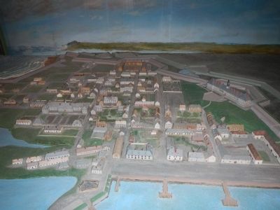
3. Diorama of Fortress of Louisbourg
Photographed by Barry Swackhamer, July 3, 2014
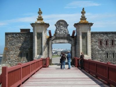
4. Dauphin Gate entrance to Fortress of Louisbourg
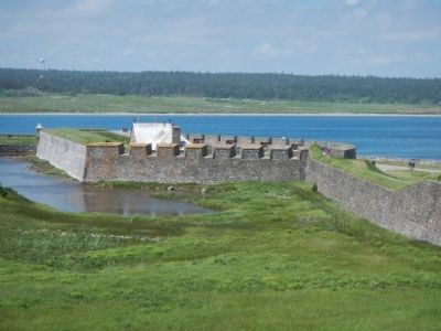
Photographed by Barry Swackhamer, July 3, 2014
5. Dauphin Demi-Bastion
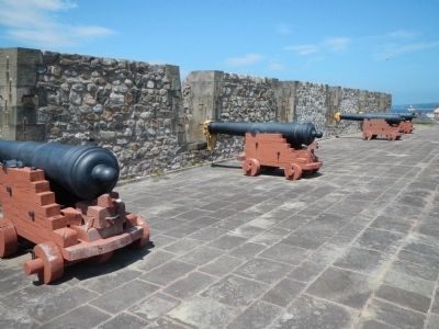
Photographed by Barry Swackhamer, July 3, 2014
6. Dauphin Demi-Bastion
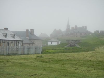
Photographed by Barry Swackhamer, July 3, 2014
7. Fortress of Louisbourg
King's Bastion on the background.
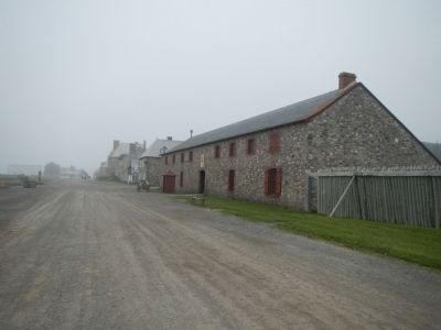
Photographed by Barry Swackhamer, July 3, 2014
8. King's Storehouse (water-front street)
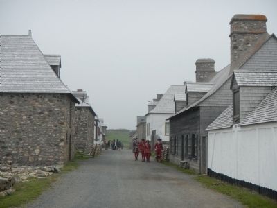
Photographed by Barry Swackhamer, July 3, 2014
9. Fortress of Louisbourg (main street)
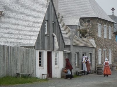
Photographed by Barry Swackhamer, July 3, 2014
10. Grandchamp House
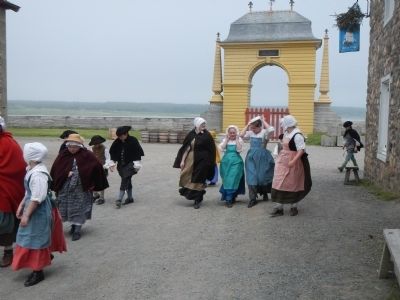
Photographed by Barry Swackhamer, July 3, 2014
11. Frédéic Gate
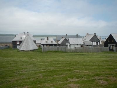
Photographed by Barry Swackhamer, July 3, 2014
12. Fortress of Louisbourg
Icehouse on left.
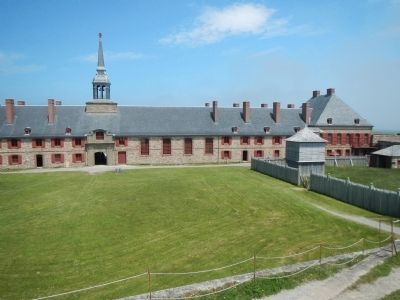
Photographed by Barry Swackhamer, July 3, 2014
13. King's Bastion Barracks from the King's Bastion Rampart
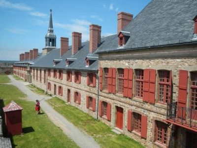
Photographed by Barry Swackhamer, July 3, 2014
14. Governor's Apartments and Military Chapel
Credits. This page was last revised on March 16, 2025. It was originally submitted on December 27, 2014, by Barry Swackhamer of Brentwood, California. This page has been viewed 949 times since then and 34 times this year. Photos: 1, 2, 3, 4, 5, 6, 7, 8, 9, 10, 11, 12, 13, 14. submitted on December 27, 2014, by Barry Swackhamer of Brentwood, California. • Bill Pfingsten was the editor who published this page.
