Taftsville near Woodstock in Windsor County, Vermont — The American Northeast (New England)
Taftsville Covered Bridge
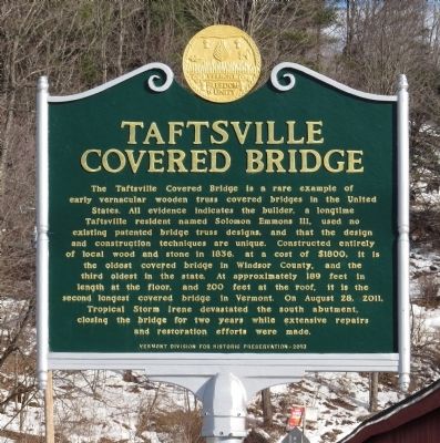
Photographed by PaulwC3, December 26, 2014
1. Taftsville Covered Bridge Marker
Erected 2013 by Vermont Division for Historic Preservation.
Topics and series. This historical marker is listed in this topic list: Bridges & Viaducts. In addition, it is included in the Covered Bridges, and the Vermont Division for Historic Preservation Markers series lists. A significant historical year for this entry is 1836.
Location. 43° 37.842′ N, 72° 28.096′ W.
this page online

Regionally, this marker is in the Connecticut River Valley and in the Green Mountains. It is also in the American Northeast and in New England. Globally, it is in North America, the Western Hemisphere, the Western World, and the Anglosphere. Historically, it finds itself in what was once the Vermont Republic.
Other nearby markers. At least 8 other markers are within 3 miles of this marker, measured as the crow flies: Theron Boyd House (approx. 1.9 miles away); Charles Marsh Law Office (approx. 1.9 miles away); Next Stop, Woodstock (approx. 2 miles away); From Jungle to Jewel (approx. 2 miles away); Woodstock Civil War Memorial (approx. 2.4 miles away); Laurance Spelman Rockefeller and Mary French Rockefeller (approx. 2.4 miles away); Justin Morgan (approx. 2.4 miles away); The Marsh-Billings-Rockefeller Mansion (approx. 2½ miles away).
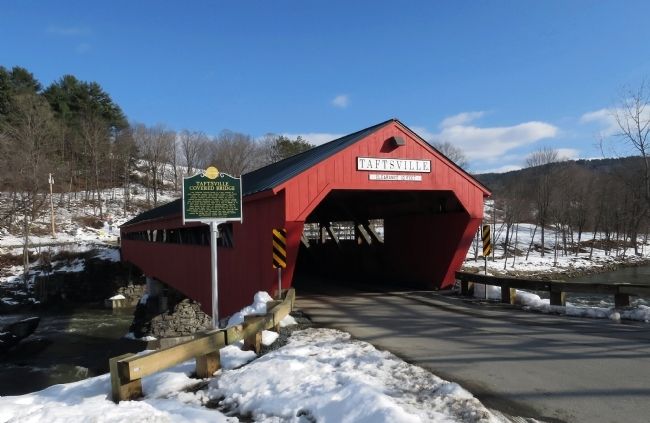
Photographed by PaulwC3, December 26, 2014
2. Wide view of the Taftsville Covered Bridge Marker
Regarding Taftsville Covered Bridge.
Also see . . . Vermont Public Radio: A Tale of Two Bridges: Upper Valley Finally Re-Connected After Irene. (Submitted on December 28, 2014, by PaulwC3 of Northern, Virginia.)
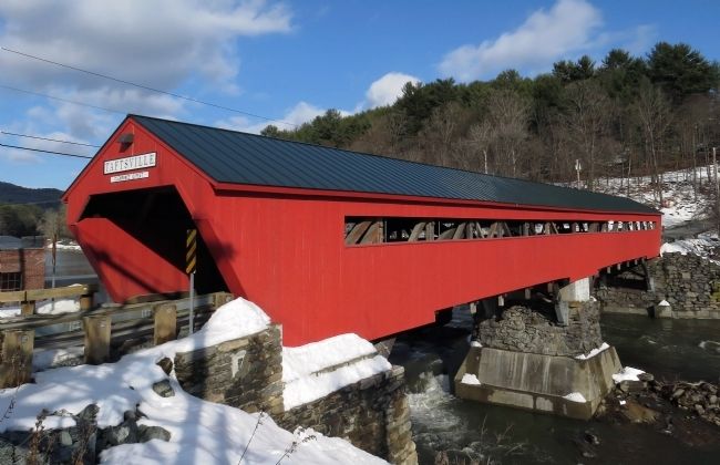
Photographed by PaulwC3, December 26, 2014
3. Taftsville Covered Bridge
Credits. This page was last revised on February 16, 2023. It was originally submitted on December 28, 2014, by PaulwC3 of Northern, Virginia. This page has been viewed 1,097 times since then and 59 times this year. Photos: 1, 2, 3. submitted on December 28, 2014, by PaulwC3 of Northern, Virginia.
