Near Louisbourg in Cape Breton Region, Nova Scotia — The Atlantic Provinces (North America)
19th-Century Lighthouse
Le phare construit au XIXᵉ siècle
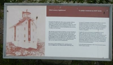
During the first half of the 19th century maritime officials took steps to reduce the many navigational risks and shipwrecks along the eastern seaboard of Canada. One of the new lighthouses put up was at Louisbourg, in 1842. It was a two and one-half storey wooden building that also served as a residence for the keeper.
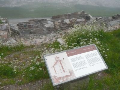
The structure was erected on a massive cut stone foundation that lay upon bedrock. The masonry block in the center of the foundation is the base for the chimney, which helped support the lantern. In the full basement on the harbour side archaeologists found a wrought iron tank, identified as the kind manufactured for the British Navy, and which was used either for water or oil storage. On the land and seaward sides are the outlines of two small porches.
Fire destroyed this building in 1922, and the present concrete lighthouse was constructed the following year.
French:
Au cours de la première moitié du XiXᵉ siècle, les autorités maritimes prirent diverses mesures pour réduire les nombreux obstacles à la navigation et épaves qui jonchaient la côte est du Canada. On mit en service de nouveaux phares, dont l’un à Louisbourg, en 1842. Il s’agissait d’un bâtiment de deux étages et demi, qui servait en même temps de résidence au gardien.
Le phare fut assis sur de massives fondations de pierre taillée, reposant à même la roche-mère. Le bloc de maçonnerie que l’on aperçoit au centre des fondations est la base de la cheminée, qui contribuait à soutenir la lanterne. Au sous-sol, du côté du port, les archéologues ont trouvé une citerne de fer forgé, du genre de celles qu’utilisait la Marine britannique, qui devait contenir soit de l’eau, soit de l’huile. Sur les côtés donnant vers la terre et la mer, on distingue le contour de deux petits porches.
Le feu détruisit le bâtiment en 1922, On construisit le phare actuel l’année suivante.
Erected by Parks Canada.
Topics and series. This historical marker is listed in these topic lists: Communications • Waterways & Vessels. In addition, it is included in the Lighthouses series list. A significant historical year for this entry is 1842.
Location. 45° 54.394′ N, 59° 57.511′ W. Marker is near Louisbourg, Nova Scotia, in Cape Breton Region. Marker can be reached from Havenside Road, on the left when traveling east. Touch for map. Marker is at or near this postal address: 573 Havenside Road, Louisbourg NS B1C 1P4, Canada. Touch for directions.
Other nearby markers. At least 8 other markers are within 3 kilometers of this marker, measured as the crow flies. First Lighthouse Tower (here, next to this marker); First Lighthouse (a few steps from this marker); French Garrison at Louisbourg (a few steps from this marker); Louisbourg Harbour (within shouting distance of this marker); Lighthouse Point (within shouting distance of this marker); Kennelly Point (about 120 meters away, measured in a direct line); The Lobster Fishery (approx. 0.6 kilometers away); Fortress of Louisbourg (approx. 2 kilometers away). Touch for a list and map of all markers in Louisbourg.
More about this marker. This marker is near the lighthouse located on the hill at the end of Havenside Road.
Credits. This page was last revised on July 23, 2018. It was originally submitted on December 29, 2014, by Barry Swackhamer of Brentwood, California. This page has been viewed 415 times since then and 16 times this year. Photos: 1, 2. submitted on December 29, 2014, by Barry Swackhamer of Brentwood, California. • Andrew Ruppenstein was the editor who published this page.

