Eureka Springs in Carroll County, Arkansas — The American South (West South Central)
Carnegie Library
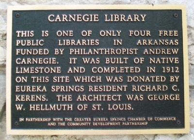
Photographed by William Fischer, Jr., April 9, 2012
1. Carnegie Library Marker
Erected by Greater Eureka Springs Chamber of Commerce and the Community Development Partnership.
Topics and series. This historical marker is listed in these topic lists: Architecture • Charity & Public Work • Education. In addition, it is included in the Carnegie Libraries series list. A significant historical year for this entry is 1912.
Location. 36° 24.45′ N, 93° 44.194′ W. Marker is in Eureka Springs, Arkansas, in Carroll County. It is on Spring Street west of Hillside Avenue, on the right when traveling west. Touch for map. Marker is at or near this postal address: 194 Spring Street, Eureka Springs AR 72632, United States of America. Touch for directions.

Regionally, this marker is on the Ozark Plateau, in the Cherokee Heritage Region, and in Osage Territory. It is also in the American South, specifically in the Upper
this page online
Other nearby markers. At least 8 other markers are within walking distance of this marker: A Timeless Place (here, next to this marker); Crescent Spring and Trail (within shouting distance of this marker); Clayton-Becker House (about 300 feet away, measured in a direct line); The Crescent Hotel & Spa (about 400 feet away); Avarana (about 700 feet away); Harding Spring (about 700 feet away); The Lay of the Land (about 800 feet away); Eastview Cottage (approx. 0.2 miles away). Touch for a list and map of all markers in Eureka Springs.
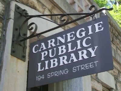
Photographed by William Fischer, Jr., April 9, 2012
2. Carnegie Library Sign
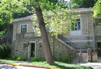
Photographed by William Fischer, Jr., April 9, 2012
3. Carnegie Library and Marker
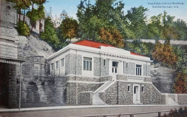
circa 1920
4. Free Public Library Building, Eureka Springs, Ark.
Credits. This page was last revised on September 2, 2020. It was originally submitted on January 5, 2015, by William Fischer, Jr. of Reynoldsburg, Ohio. This page has been viewed 1,011 times since then and 51 times this year. Photos: 1, 2, 3. submitted on January 5, 2015, by William Fischer, Jr. of Reynoldsburg, Ohio. 4. submitted on November 16, 2015.
