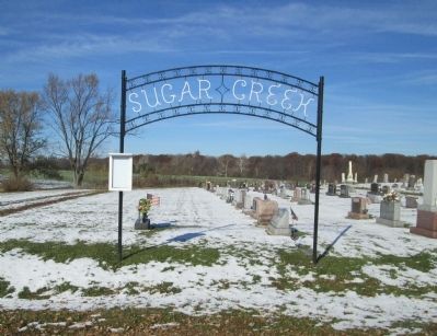
Near Lima in Allen County, Ohio — The American Midwest (Great Lakes)
Allen County’s First Settlement
The Sugar Creek Settlement
Inscription.
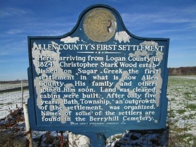
Here arriving from Logan County in
1824, Christopher Stark Wood estab-
lished on Sugar Creek, the first
settlement in what is now Allen
County. His family and others
joined him soon. Land was cleared;
cabins were built. After only five
years, Bath Township, an outgrowth
of the settlement, was organized.
Names of some of the settlers are
found in the Berryhill Cemetery.
Erected 1976 by Allen County BiCentennial Commission.
Topics. This historical marker is listed in this topic list: Settlements & Settlers. A significant historical year for this entry is 1824.
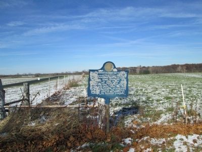
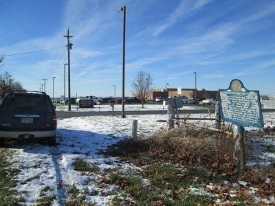
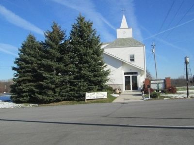
Location. 40° 47.303′ N, 84° 6.129′ W. Marker is near Lima, Ohio, in Allen County. Marker is on Bluelick Road, ¼ mile east of North Main Street (Ohio Route 65), on the right when traveling west. marker is on the north side of Bluelick Road, just east of the WORTH Center, and about 0.25 mile west of Sugar Creek Church of the Brethren. Touch for map. Marker is at or near this postal address: 121 E Bluelick Rd, Lima OH 45801, United States of America. Touch for directions.
Other nearby markers. At least 8 other markers are within 3 miles of this marker, measured as the crow flies. The Henry Boose Site (approx. 0.3 miles away); Founders and Patriots of Allen County, Ohio (approx. 0.7 miles away); Lima (approx. 1.4 miles away); Rotary Riverwalk & Ottawa River Bikeway (approx. 2.6 miles away); Servicemen's Free Canteen (approx. 3 miles away); McLean Teady Bear Park (approx. 3 miles away); Adam Welty Park (approx. 3.1 miles away); Eastman Johnson's Maple Sugar Paintings (approx. 3.1 miles away). Touch for a list and map of all markers in Lima.
Credits. This page was last revised on June 16, 2016. It was originally submitted on January 12, 2015, by Rev. Ronald Irick of West Liberty, Ohio. This page has been viewed 1,303 times since then and 68 times this year. Photos: 1, 2, 3, 4, 5. submitted on January 12, 2015, by Rev. Ronald Irick of West Liberty, Ohio. • Al Wolf was the editor who published this page.
