Centreville in Fairfax County, Virginia — The American South (Mid-Atlantic)
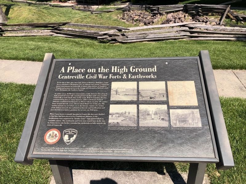
A Place on the High Ground
Centreville Civil War Forts & Earthworks
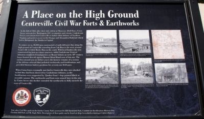
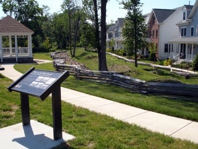
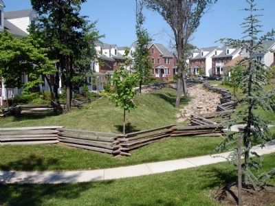
As winter set in, 40,000 men constructed a 5-mile defensive line along the high ground of Centreville extending from Cub Run to the west, around Centreville to Little Rocky Run on the south. With local lumber, the men constructed log huts as winter quarters, while Confederate General Johnston established headquarters at Mount Gilead, an early 18th century house located directly across Mount Gilead Road west of this site. The earthen mound you see before you is the historic remains of a section of the defensive network that included earthworks and fortifications and provided thirteen battery positions for seventy-one field guns.
When Union forces eventually marched to Centreville they were shocked to find they had been deceived by the Confederate defenses, as the fortifications were supported by ‘Quaker Guns’ – logs painted black to resemble cannon. The earthworks and forts were reused later in the war, by Union forces who further extended the earthworks to fully encircle the town of Centreville.
Erected by County of Fairfax, Virginia, Fairfax County Park Authority.
Topics. This historical marker is listed in these topic lists: Forts and Castles • War, US Civil. A significant historical year for this entry is 1861.
Location. 38° 50.588′ N, 77° 25.638′ W. Marker is in Centreville, Virginia, in Fairfax County. Marker is on General Johnston Place, on the right when traveling west. The marker is in The Village of Mt. Gilead neighborhood on General Johnston Place near its intersection with Mount Gilead Road. Touch for map. Marker is at or near this postal address: 13931 Malcolm Jameson Way, Centreville VA 20120, United States of America. Touch for directions.
Other nearby markers. At least 8 other markers are within walking distance of this marker. Mount Gilead (about 400 feet away, measured in a direct line); Mount Gilead Historic Site (about 400 feet away); St. John's Episcopal Church (about 600 feet away); a different marker also named St. John's Episcopal Church (about 700 feet away); Historic Centreville Park (about 800 feet away); Minnie Minter Carter Saunders (approx. 0.2 miles away); Old Stone Church (approx. 0.2 miles away); Centreville Methodist Church (approx. 0.2 miles away). Touch for a list and map of all markers in Centreville.
More about this marker. The bottom of the marker has an inscription, Visit other Civil War parks in the Fairfax

Photographed By Devry Becker Jones (CC0), May 15, 2021
2. A Place on the High Ground Marker
The marker has weathered but remains legible.
Also see . . .
1. Map of Centreville Fort Sites and Mount Gilead. Fairfax County Park Authority (Submitted on May 31, 2008.)
2. Mount Gilead in Context. A Brief History of Centreville and Environs (Submitted on May 31, 2008.)
Credits. This page was last revised on July 7, 2021. It was originally submitted on May 31, 2008. This page has been viewed 2,684 times since then and 44 times this year. Photos: 1. submitted on May 31, 2008. 2. submitted on May 15, 2021, by Devry Becker Jones of Washington, District of Columbia. 3, 4. submitted on May 31, 2008. • Craig Swain was the editor who published this page.


