
Near Jackson Center in Shelby County, Ohio — The American Midwest (Great Lakes)
Korn Field Airport
Photographed by Michael Baker, November 18, 2014
1. Korn Field Airport Marker
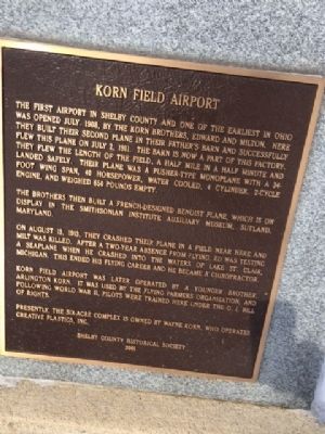
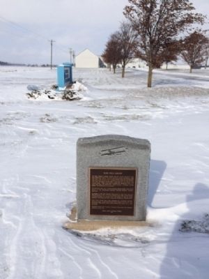
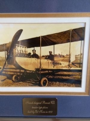
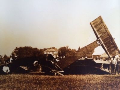
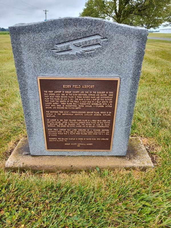
The brother then built a French-designed Benoist plane, which is on display in the Smithsonian Institute Auxiliary Museum,Sutland, Maryland. On August 13, 1913 they crashed their plane in a filed near here and Milt was killed. After a two-year absence from flying, Ed was testing a seaplane when he crashed into the water of Lake St. Clair, Michigan. This ended his flying career and he became a chiropractor.
Korn Field was later operated by a younger brother, Arlington Korn, It was used by the Flying Farmers organization, and following World War II, pilots were trained here under the G.I. Bill of Rights.
Presently,
this page online
Erected 2001 by Shelby County Historical Society.
Topics. This historical marker is listed in these topic lists: Air & Space • War, World II. A significant historical year for this entry is 1908.
Location. 40° 25.071′ N, 84° 5.114′ W. Marker is near Jackson Center, Ohio, in Shelby County. It is on Snider Road, on the left when traveling east. Touch for map. Marker is at or near this postal address: 18163 Snider Road, Jackson Center OH 45334, United States of America. Touch for directions.

Regionally, this marker is in Ohio’s Till Plains. It is also in the American Midwest and in the Corn Belt. Globally, it is in North America, the Western Hemisphere, the Western World, and the Anglosphere. Historically, it finds itself in what was once the Haudenosaunee (Iroquois) Confederacy, the territory of the Mississippian Culture, and the Northwest Territory.
Other nearby markers. At least 8 other markers are within 6 miles of this marker, measured as the crow flies: Jackson Center Veterans Memorial (approx. 3 miles away); Gary Wayne Gross
Photographed by Michael Baker, November 18, 2014
2. Korn Field Airport Marker
Another marker is no longer nearby. Greenville Treaty Line / Indian Boundary (was approx. 4.8 miles away but has been replaced with another marker now near it).
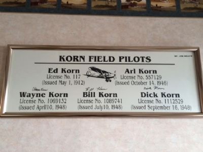
Regarding Korn Field Airport. In the lobby of the factory at this site are many framed photographs on the walls.
Photographed by Michael Baker, November 18, 2014
3. Korn Field Airport Marker
Photographed by Michael Baker, November 18, 2014
4. Korn Field Airport Marker
Photographed by Michael Baker, November 18, 2014
5. Korn Field Airport Marker
Photographed by Craig Doda, June 29, 2024
6. Korn Field Airport Marker
Credits. This page was last revised on July 2, 2024. It was originally submitted on January 15, 2015, by Michael Baker of Lima, Ohio. This page has been viewed 1,013 times since then and 87 times this year. Photos: 1, 2, 3, 4, 5. submitted on January 15, 2015, by Michael Baker of Lima, Ohio. 6. submitted on July 1, 2024, by Craig Doda of Napoleon, Ohio. • Al Wolf was the editor who published this page.
