Near Weirton in Hancock County, West Virginia — The American South (Appalachia)
Hancock County
⎯⎯⎯
State of Pennsylvania
Photographed by Mike Wintermantel, January 18, 2015
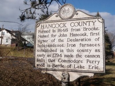
1. Hancock County Marker
Hancock County
Formed in 1848 from Brooke. Named for John Hancock, first signer of the Declaration of Independence. Iron furnaces established in this county as early as 1794 made the cannon balls that Commodore Perry used in Battle of Lake Erie.
Pennsylvania
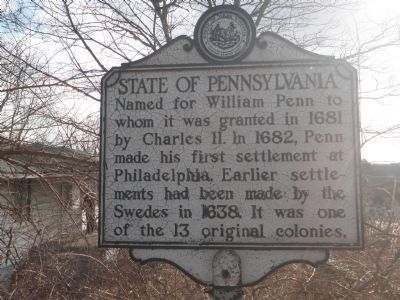
Named for William Penn to whom it was granted in 1681 by Charles II. In 1682, Penn made his first settlement at Philadelphia. Earlier settlements had been made by the Swedes in 1638. It was one of the thirteen original colonies.
Topics and series. This historical marker is listed in these topic lists: Industry & Commerce • Settlements & Settlers. In addition, it is included in the West Virginia Archives and History series list. A significant historical year for this entry is 1848.
Location. 40° 24.309′ N, 80° 31.151′ W. Marker is near Weirton, West Virginia, in Hancock County. It is at the intersection of Steubenville Pike and Gardner Road, on the right when traveling west on Steubenville Pike. Touch for map. Marker is in this post office area: Weirton WV 26062, United States of America. Touch for directions.

Regionally, this marker is in the Northern Panhandle
this page online
Other nearby markers. At least 8 other markers are within 3 miles of this marker, measured as the crow flies: Medal of Honor Pvt. Uriah Brown (within shouting distance of this marker); Uriah H. Brown (about 300 feet away, measured in a direct line); Revolutionary War Soldiers (about 500 feet away); Pennsylvania (approx. half a mile away in Pennsylvania); Three Springs Presbyterian Church (approx. 1.6 miles away); Queen of Peace Mausoleum (approx. 2.3 miles away); Saint Paul Catholic Cemetery Veterans Memorial (approx. 2.3 miles away); Chapel Mausoleum (approx. 2.3 miles away). Touch for a list and map of all markers in Weirton.
Photographed by Mike Wintermantel, January 18, 2015
2. State of Pennsylvania Marker
Photographed by Mike Wintermantel, January 18, 2015
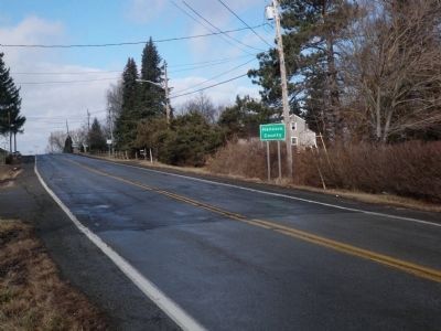
3. Hancock County Marker
To the right of the Hancock County sign.
Photographed by Mike Wintermantel, January 18, 2015
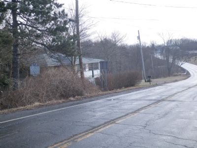
4. State of Pennsylvania Marker
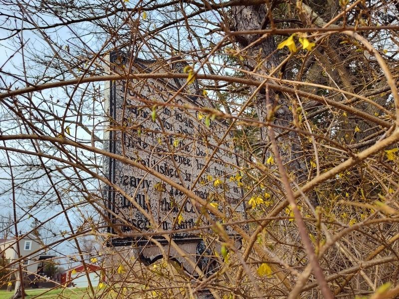
Photographed by Craig Doda, March 29, 2025
5. Hancock County / State of Pennsylvania Marker
Hancock County side is a bit overgrown.

Photographed by Craig Doda, March 29, 2025
6. Hancock County / State of Pennsylvania Marker
Credits. This page was last revised on April 10, 2025. It was originally submitted on January 18, 2015, by Mike Wintermantel of Pittsburgh, Pennsylvania. This page has been viewed 1,351 times since then and 86 times this year. Photos: 1, 2, 3, 4. submitted on January 18, 2015, by Mike Wintermantel of Pittsburgh, Pennsylvania. 5, 6. submitted on March 31, 2025, by Craig Doda of Napoleon, Ohio.
