
Near Sweetwater in Nolan County, Texas — The American South (West South Central)
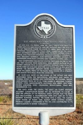
Site of U.S. Army Air Corps Plane Crash
(0.6 Miles East)
Photographed by Duane Hall, January 20, 2015
1. Site of U.S. Army Air Corps Plane Crash Marker
Two Sweetwater cab drivers spotted the plane on fire in mid-air. They notified their dispatcher, who alerted authorities at nearby Avenger Field. A crash landing message came from the plane itself at 6:30 A.M. Another C-47 flying just a few minutes behind the doomed aircraft never encountered a problem. After the crash, parts of the plane were found on a straight line almost two miles from the crash site.
By 10:00 A.M. most of the bodies of the victims had been recovered from the smoldering wreckage and taken to funeral homes in Abilene and Sweetwater. The soldiers, whose ages ranged from 20 to 37, were buried in Arkansas, Florida, Illinois, Iowa, Massachusetts, Michigan, New Jersey, New York, North Carolina, Ohio, Oklahoma, Pennsylvania, Texas and Washington, D.C.
Ten days after the crash, the Army Air Corps Aircraft Accident Classification Board met to determine its cause. It was the opinion of the regional safety officer that the craft had encountered a thunderstorm with only one of its two engines running, putting the plane into a roll. The plane’s 4,000 hours of flight time, mainly spent towing gliders, probably caused a weakness in the tail and contributed to its disintegration in severe turbulence.
Erected 2000 by Texas Historical Commission. (Marker Number 12124.)
Topics. This historical marker
this page online
Location. 32° 24.951′ N, 100° 23.344′ W. Marker is near Sweetwater, Texas, in Nolan County. It is on State Highway 70 0.9 miles north of Farm to Market Road 1856, on the right when traveling north. Touch for map. Marker is in this post office area: Sweetwater TX 79556, United States of America. Touch for directions.

Regionally, this marker is in Big Country. Globally, it is in North America, a Gulf of Mexico state, the Western Hemisphere, the Western World, and the Anglosphere. Historically, it finds itself in what was once New Spain, the Comanchería, the Republic of Texas, and one of the Confederate States of America.
Other nearby markers. At least 8 other markers are within 4 miles of this marker, measured as the crow flies: Trammell House (approx. 2.8 miles away); Sweetwater Cemetery (approx. 3.4 miles away); Texas and Pacific Railway (approx. 3.8 miles away); W.A.S.P. (Women's Airforce Service Pilots) Training Base: Avenger Field (approx. 3.9 miles away); Nolan County (approx. 3.9 miles away);
Photographed by Duane Hall, January 20, 2015
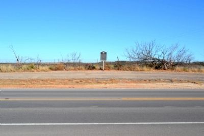
2. Site of U.S. Army Air Corps Plane Crash Marker
Photographed by Duane Hall, January 20, 2015
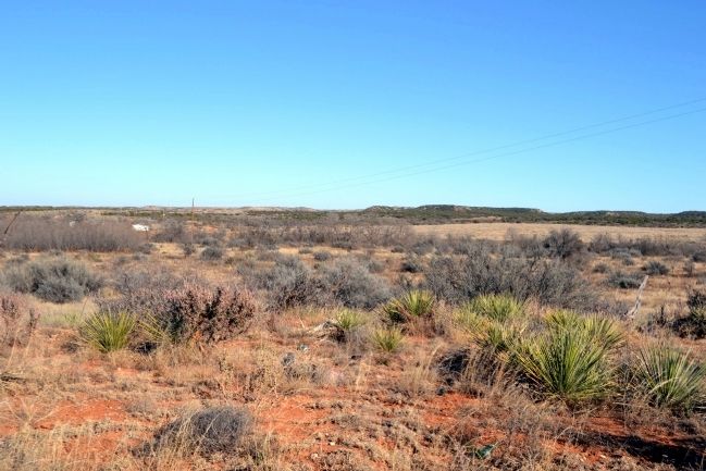
3. General Area of Plane Crash Site
Photographed by Duane Hall, January 20, 2015
4. View to North from State Highway 70
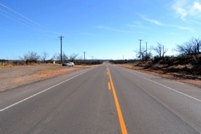
Photographed by Duane Hall, January 20, 2015
5. View to South from State Highway 70
Credits. This page was last revised on June 16, 2016. It was originally submitted on January 26, 2015, by Duane Hall of Abilene, Texas. This page has been viewed 3,018 times since then and 127 times this year. Photos: 1, 2, 3, 4, 5. submitted on January 26, 2015, by Duane Hall of Abilene, Texas.
