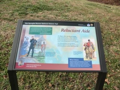
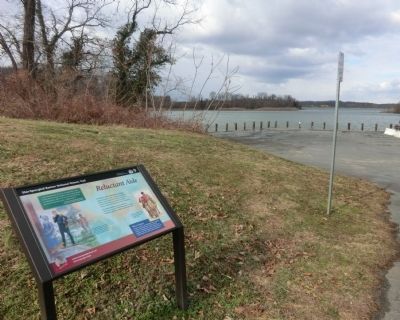
Reluctant Aide
Star-Spangled Banner National Historical Trail
— War of 1812 —
“…what had passed at Havre, George Town, and Frederickstown had its Effect, and led these People to understand…they had more to hope for from our Generosity than from...opposing us.”
-British Rear Admiral George Cockburn to Admiral John B. Warren, May 6, 1813.
Wise Choice
Along the Sassafras and elsewhere, British Admiral Cockburn made good on his threat to punish resistance. Choosing not to resist, Turner’s Creek residents were left unharmed, and the British were “well pleased with… their mode of receiving us.”
(Inscription beside the image on the left) As Georgetown burned, Kitty Knight reportedly persuaded Admiral Cockburn to spare the houses where she and an elderly neighbor lived.
(Inscription beside the image on the right)
The British claimed they paid the owners “full value” for supplies obtained at Turner’s Creek.
Erected by National Park Service-United
Topics and series. This historical marker is listed in this topic list: War of 1812. In addition, it is included in the Star Spangled Banner National Historic Trail series list. A significant historical month for this entry is May 1917.
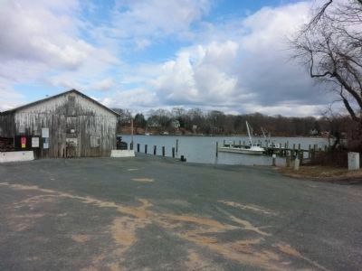
Location. 39° 21.468′ N, 75° 58.986′ W. Marker is in Kennedyville, Maryland, in Kent County. Marker is on Turners Creek Road. The marker is located on the left side at the end of the road. Touch for map. Marker is in this post office area: Kennedyville MD 21645, United States of America. Touch for directions.
Other nearby markers. At least 8 other markers are within walking distance of this marker. Turner's Creek (within shouting distance of this marker); Waterfront Hub for Trade (within shouting distance of this marker); Agricultural Demonstration Area / Historic Tree Grove (approx. 0.2 miles away); Natural Diversity at Turner's Creek (approx. ¼ mile away); A Home with a Rich Past (approx. ¼ mile away); Captain John Smith on the Sassafras River (approx. ¼ mile away); The Tockwogh and the Bay (approx. ¼ mile away); Welcome to the Kent Museum (approx. 0.4 miles away).
Credits. This page was last revised on June 16, 2016. It was originally submitted on February 3, 2015, by Don Morfe of Baltimore, Maryland. This page has been viewed 337 times since then and 19 times this year. Photos: 1, 2, 3. submitted on February 3, 2015, by Don Morfe of Baltimore, Maryland. • Bill Pfingsten was the editor who published this page.


