Carroll in Fairfield County, Ohio — The American Midwest (Great Lakes)
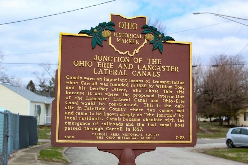
Junction of the Ohio Erie and Lancaster Lateral Canals
Inscription.
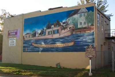
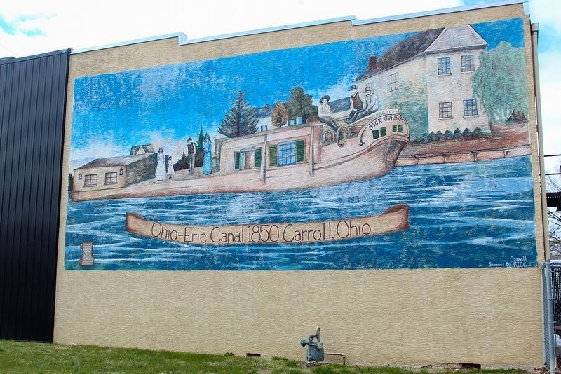
Canals were an important means of transportation when Carroll was founded in 1829 by William Tong and his brother Oliver, who chose this site because it was where the proposed intersection of the Lancaster Lateral Canal and Ohio-Erie Canal would be constructed. This is the only site in Fairfield County where two canals met and came to be known simply as "the junction" by local residents. Canals became obsolete with the emergence of railroads and the last canal boat passed through Carroll in 1897.
Erected 2008 by Carroll Area Historical Society and The Ohio Historical Society. (Marker Number 7-23.)
Topics and series. This historical marker is listed in these topic lists: Notable Places • Settlements & Settlers • Waterways & Vessels. In addition, it is included in the Ohio and Erie Canal, and the Ohio Historical Society / The Ohio History Connection series lists. A significant historical year for this entry is 1829.
Location. 39° 47.964′ N, 82° 42.103′ W. Marker is in Carroll, Ohio, in Fairfield County. Marker is on Center Street just north of Canal Street, on the left when traveling east. Touch for map. Marker is in this post office area: Carroll OH 43112, United States of America. Touch for directions.
Other nearby markers. At least 8 other markers are within 6 miles of this marker, measured as the crow flies. Carroll War Memorials (about 400 feet away, measured in a direct line); Bessie Benson Memorial Park History (about 400 feet away); Bell From Schoolhouse on High Street (about 400 feet away); Wall of Remembrance (about 500 feet away); Carroll (approx. 0.3 miles away); Ohio's Canal System (approx. 2.2 miles away); VFW Post 3761 (approx. 5.3 miles away); Neptune P2V-5F (Sp-2E) 131522 (approx. 5.3 miles away). Touch for a list and map of all markers in Carroll.
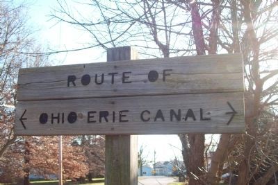
Also see . . . Canals of Fairfield County. Canal route Carroll-Lockville-Canal Winchester Ohio (Submitted on December 7, 2009, by Joe Todd Fraker of Lancaster, Ohio.)
Credits. This page was last revised on May 31, 2023. It was originally submitted on October 9, 2008, by William Fischer, Jr. of Scranton, Pennsylvania. This page has been viewed 1,716 times since then and 38 times this year. Last updated on February 4, 2015, by June Queen of Carroll, Ohio. Photos: 1. submitted on May 13, 2023, by Alex Krempasky of Obetz, Ohio. 2, 3. submitted on October 9, 2008, by William Fischer, Jr. of Scranton, Pennsylvania. 4. submitted on December 3, 2009, by Joe Todd Fraker of Lancaster, Ohio. 5. submitted on May 13, 2023, by Alex Krempasky of Obetz, Ohio. • Bill Pfingsten was the editor who published this page.
