Vieux-Québec-Cap-Blanc-colline Parlementaire in Capitale-Nationale, — Central Canada (French-Canadian)
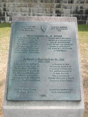
Fortifications de
⎯⎯⎯
of Québec
Gaspard-J. Chaussegros de Léry
| — | National Historic Civil Engineering Site | — |
Photographed by Barry Swackhamer, July 25, 2014
1. Fortifications de / of Québec Marker
French:
Gaspard-J. Chaussegros de Léry
(1682-1750)
English:
French:
Erected 1992 by Canadian Society for Civil Engineering / Société Canadienne de Génie Civil.
Topics. This historical marker is listed in this topic list: Forts and Castles.
Location. 46° 48.555′ N, 71° 12.683′ W. Marker is in Québec, in Capitale-Nationale. It is in Vieux-Québec-Cap-Blanc-colline
this page online

Regionally, this marker is in Central Canada. Globally, it is in North America, the Western Hemisphere, and the Western World. Historically, it finds itself in what was once a British colony, the Viceroyalty of New France, the Haudenosaunee (Iroquois) Confederacy, and Rupert’s Land.
Other nearby markers. At least 8 other markers are within walking distance of this marker: Frontenac (within shouting distance of this marker); General Montgomery’s Army (within shouting distance of this marker); Les Conferences de Québec de 1943 et 1944 (within shouting distance of this marker); In Memory of Our Fallen Soldiers (within shouting distance of this marker); The Québec Garrison Club (about 90 meters away, measured in a direct line); Québec Boer War Memorial (about 90 meters away); Jonathan Sewell (about 90 meters away); Augustin-Norbert Morin (about 150 meters away). Touch for a list and map of all
Photographed by Barry Swackhamer, July 25, 2014
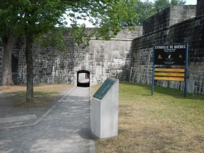
2. Fortifications de / of Québec Marker
Also see . . . Fortifications of Québec National Historic Site. Parks Canada website entry (Submitted on August 9, 2023, by Larry Gertner of New York, New York.)
Postcard by Librairie Garneau, Ltée., circa 1910
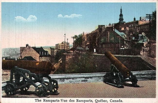
3. The Ramparts - Vue des Ramparts, Québec, Canada
Credits. This page was last revised on August 11, 2023. It was originally submitted on February 15, 2015, by Barry Swackhamer of Brentwood, California. This page has been viewed 602 times since then and 22 times this year. Photos: 1, 2. submitted on February 15, 2015, by Barry Swackhamer of Brentwood, California. 3. submitted on February 22, 2015. • Andrew Ruppenstein was the editor who published this page.
