A County in Ruin
Star-Spangled Banner National Historic Trail
— War of 1812 —
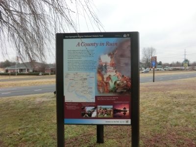
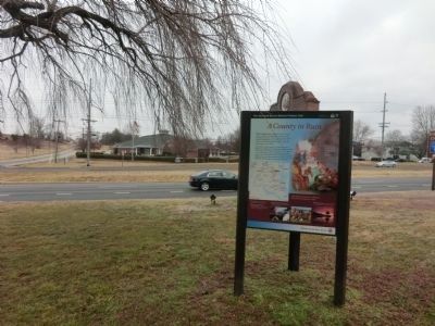
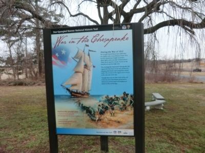
The Maryland Gazette reported “a retaliatory system of plunder and conflagration” by the British following the Battles of St. Leonard Creek. People fled their homes. The original towns of Huntington and St. Leonard were burned to the ground. Many residents left war-torn Maryland to start anew elsewhere. Recovery following the War of 1812 was especially difficult for Calvert and the rest of Southern Maryland.
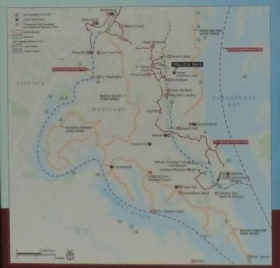
Some places to learn more about the War of 1812 in Calvert County
*Prince Frederick
Site of British raid and burning of courthouse and jail
*Mount Calvert Historical and Archaeological Park
Plantation house; site where Royal Marines landed to join in the march to Washington
*Jefferson Patterson Park and Museum
Exhibits; site of largest naval engagement in Maryland history *Calvert Marine Museum-Exhibits depicting the British presence in Southern Maryland.
“In Calvert County absolute ruin has… overwhelmed its citizens…”
Maryland Gazette, June 30, 1814
(Inscription
below the main image)The British often targeted stores of tobacco in their efforts to damage local economies.
Erected by National Park Service-United States Department of the Interior.
Topics and series. This historical marker is listed in this topic list: War of 1812. In addition, it is included in the Star Spangled Banner National Historic Trail series list. A significant historical date for this entry is June 30, 1952.
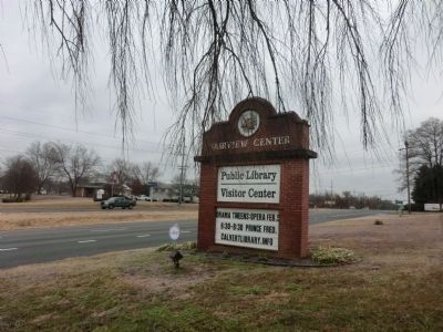
Location. 38° 41.503′ N, 76° 38.417′ W. Marker is in Owings, Maryland, in Calvert County. Marker is on Southern Maryland Blvd (SR 4). The marker is located on the grounds of the Fairview Public Library and Visitor Center. Touch for map. Marker is in this post office area: Owings MD 20736, United States of America. Touch for directions.
Other nearby markers. At least 8 other markers are within 4 miles of this marker, measured as the crow flies. Calvert County (within shouting distance of this marker); Smithville United Methodist Church (approx. 2.4 miles away); Harriet Elizabeth Brown (approx. 2.7 miles away); The First All Saints Church (approx. 2.7 miles away); All Saints Episcopal Church (approx. 2.8 miles away); Lower Marlboro Town (approx. 3.3 miles away); Town Ravaged (approx. 3.4 miles away); The Nottingham Schoolhouse (approx. 3.7 miles away). Touch for a list and map of all markers in Owings.
Credits. This page was last revised on June 16, 2016. It was originally submitted on February 17, 2015, by Don Morfe of Baltimore, Maryland. This page has been viewed 551 times since then and 18 times this year. Photos: 1, 2, 3, 4, 5, 6. submitted on February 17, 2015, by Don Morfe of Baltimore, Maryland. • Bill Pfingsten was the editor who published this page.
