St. Leonard in Calvert County, Maryland — The American Northeast (Mid-Atlantic)
Fate of the Flotilla
Star-Spangled Banner National Historic Trail
| — | National Park Service, U.S. Department of the Interior | — |
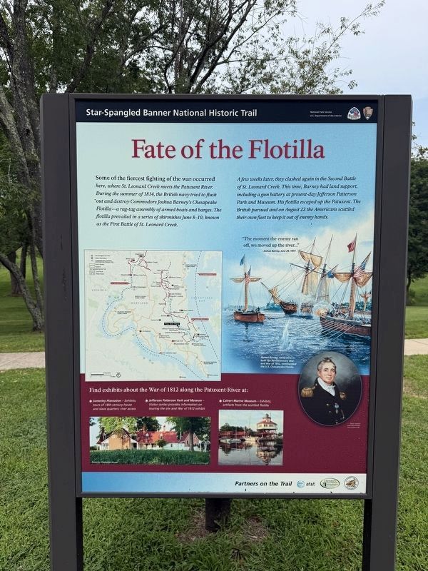
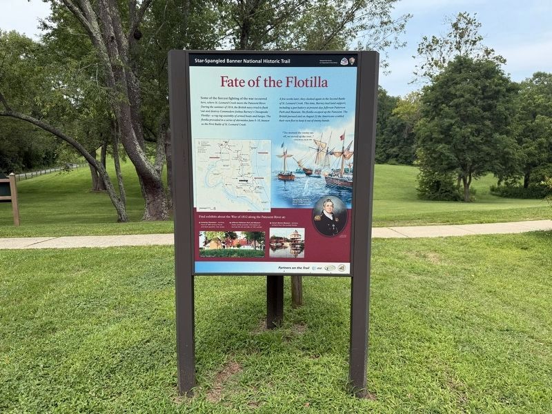
Some of the fiercest fighting of the war occurred here, where St. Leonard Creek meets the Patuxent River. During the summer of 1814, the British navy tried to flush out and destroy Commodore Joshua Barney’s Chesapeake Flotilla—a rag-tag assembly of armed boats barges. The flotilla prevailed in a series of skirmishes June 8-10, known as the First Battle of St. Leonard Creek.
A few weeks later, they clashed again in the Second Battle of St. Leonard Creek. This time, Barney had land support, including a gun battery at present-day Jefferson Patterson Park and Museum. His flotilla escaped up the Patuxent. The British pursued and on August 22, the Americans scuttled their own fleet to keep it out of enemy hands.
“The moment the enemy ran off, we moved up the river…”
Joshua Barney, June 29, 1814.
Find exhibits about the War of 1812 along the Patuxent River at:
✶ Sotterley Plantation - Exhibits tours of 18th-century house and slave quarters, river access
✶ Jefferson Patterson Park and Museum - Visitor center provides information on touring the site and War of 1812 exhibit.
✶ Calvert Marine Museum -Exhibits; artifacts from the scuttled flotilla.
Click or scan to see
this page online
[Caption:]
Joshua Barney, naval hero in both the Revolutionary War and War of 1812, commanded the U.S. Chesapeake Flotilla.
Erected by National Park Service, U.S. Department of the Interior.
Topics and series. This historical marker is listed in this topic list: War of 1812. In addition, it is included in the Star-Spangled Banner National Historic Trail series list. A significant historical year for this entry is 1814.
Location. 38° 23.96′ N, 76° 30.393′ W. Marker is in St. Leonard, Maryland, in Calvert County. It is on Jefferson Patterson Park Road. The marker is located near the entrance to the Jefferson Patterson Park Museum. Touch for map. Marker is in this post office area: Saint Leonard MD 20685, United States of America. Touch for directions.

Regionally, this marker is in Southern Maryland. It is also in the American South, specifically in the Upper South, in the Mid-Atlantic, in the Tidewater, in the Chesapeake Bay Region, and on the Eastern Seaboard. Globally, it is in the North Atlantic Region, North America, the Western Hemisphere, the Western World, and
Photographed by Don Morfe, February 10, 2015
2. Fate of the Flotilla Marker
Other nearby markers. At least 8 other markers are within walking distance of this marker: War in the Chesapeake (here, next to this marker); "O! say can you see…" (a few steps from this marker); Weapons of War (about 400 feet away, measured in a direct line); Naval Warfare (about 400 feet away); The War of 1812 Living History (about 400 feet away); Jefferson Patterson Park & Museum (about 400 feet away); a different marker also named Jefferson Patterson Park & Museum (about 700 feet away); Discovery of a Colonial Plantation (approx. ¼ mile away). Touch for a list and map of all markers in St. Leonard.
Photographed by Don Morfe, February 10, 2015
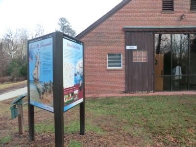
4. Fate of the Flotilla Marker with Jefferson Patterson Park building 10115 in the background
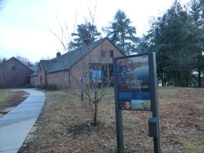
Photographed by Don Morfe, February 10, 2015
5. Explore your Chesapeake Marker in front of the Fate of the Flotilla Marker
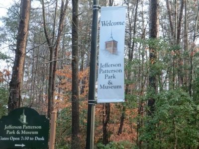
Photographed by Don Morfe, February 10, 2015
6. Sign at the entrance to Jefferson Patterson Park and Museum
Credits. This page was last revised on August 2, 2026. It was originally submitted on February 18, 2015, by Don Morfe of Baltimore, Maryland. This page has been viewed 877 times since then and 37 times this year. Photos: 1. submitted on August 2, 2026, by Devry Becker Jones of Washington, District of Columbia. 2. submitted on February 18, 2015, by Don Morfe of Baltimore, Maryland. 3. submitted on August 2, 2026, by Devry Becker Jones of Washington, District of Columbia. 4, 5, 6. submitted on February 18, 2015, by Don Morfe of Baltimore, Maryland. • Bill Pfingsten was the editor who published this page.
