Near Corinne in Box Elder County, Utah — The American Mountains (Southwest)
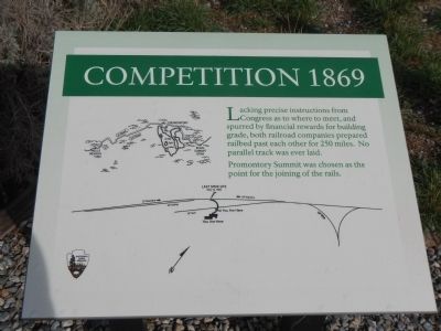
Competition 1869
Promontory Summit was chosen as the point for the joining of the rails.
Erected by National Park Service, U.S. Department of the Interior.
Topics. This historical marker is listed in this topic list: Railroads & Streetcars.
Location. 41° 37.062′ N, 112° 33.056′ W. Marker is near Corinne, Utah, in Box Elder County. Marker can be reached from Golden Spike Road (22000 West Road) near 6400 North Road when traveling west. Touch for map. Marker is in this post office area: Corinne UT 84307, United States of America. Touch for directions.
Other nearby markers. At least 8 other markers are within walking distance of this marker. Irish Monument (a few steps from this marker); Original Rail (a few steps from this marker); Transforming Communication: from Coast to Coast (a few steps from this marker); Evolution of Rail (a few steps from this marker); Last Spike Driven (within shouting distance of this marker); Golden Spike (within shouting distance of this marker); The Southern Pacific Monument (within shouting distance of this marker); May 9, 1869 (within shouting distance of this marker). Touch for a list and map of all markers in Corinne.
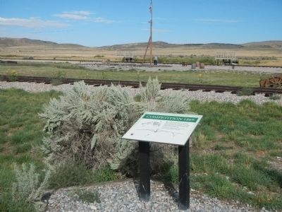
More about this marker. This marker is located in the exhibit area behind the Golden Spike Visitors Center.
Credits. This page was last revised on June 16, 2016. It was originally submitted on February 20, 2015, by Barry Swackhamer of Brentwood, California. This page has been viewed 490 times since then and 26 times this year. Photos: 1, 2. submitted on February 20, 2015, by Barry Swackhamer of Brentwood, California. • Andrew Ruppenstein was the editor who published this page.

