Corinne in Box Elder County, Utah — The American Mountains (Southwest)
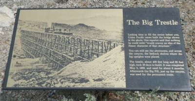
The Big Trestle
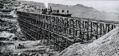
Lacking time to fill the ravine before you, Union Pacific crews built the bridge shown in the photo. One reporter said that nothing he could write “would convey an idea of the flimsy character of that structure.”
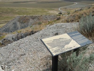
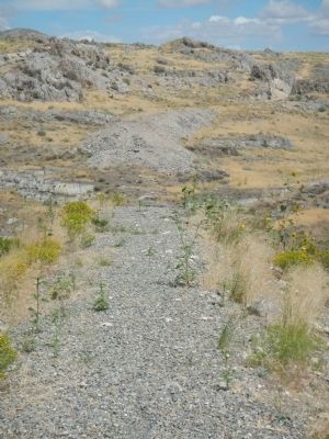
You can still see the abutments, and across the canyon, the bedrock shelves where the log uprights were placed.
The trestle, about 400 feet long and 85 feet high, took 38 days to build. It was completed May 5, 1869, and used for about 6 months. Afterwards the Big Fill just up the canyon, was used for the permanent route.
Erected by Bureau of Land Management.
Topics. This historical marker is listed in these topic lists: Bridges & Viaducts • Railroads & Streetcars. A significant historical date for this entry is May 5, 1869.
Location. 41° 38.422′ N, 112° 28.779′ W. Marker is in Corinne, Utah, in Box Elder County. Marker can be reached from West Golden Spike Drive North, on the right when traveling west. Touch for map. Marker is in this post office area: Corinne UT 84307, United States of America. Touch for directions.
Other nearby markers. At least 8 other markers are within 4 miles of this marker, measured as the crow flies. The Big Fill (a few steps from this marker); The Track that United the States (approx. 0.3 miles away); The “Orange Special” Wreck (approx. 0.6 miles away); Big Fill Trail (approx. 0.6 miles away); Chinese Arch (approx. one mile away); The Last Cut (approx. 1˝ miles away); Irish Monument (approx. 4 miles away); Original Rail (approx. 4 miles away). Touch for a list and map of all markers in Corinne.
More about this marker. This marker is located in the Golden Spike National Historic Site on the Big Fill Trail, Stop 6. Pick up a guidebook at the Golden Spike National Historic Site Visitors Center.
Credits. This page was last revised on July 24, 2021. It was originally submitted on February 21, 2015, by Barry Swackhamer of Brentwood, California. This page has been viewed 889 times since then and 75 times this year. Photos: 1, 2, 3, 4. submitted on February 21, 2015, by Barry Swackhamer of Brentwood, California. • Andrew Ruppenstein was the editor who published this page.


