
Near Liberty in Clay County, Missouri — The American Midwest (Upper Plains)
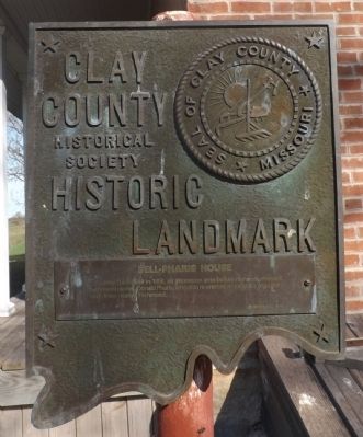
Bell-Pharis House
— Clay County Historical Society Historic Landmark —
Photographed by Tony Meyers, November 1, 2014
1. Bell-Pharis House Marker
Erected 1976 by Clay County Historical Society.
Topics and series. This historical marker is listed in this topic list: Settlements & Settlers. In addition, it is included in the Missouri, Clay County Historic Landmarks series list. A significant historical year for this entry is 1858.
Location. 39° 15.011′ N, 94° 19.772′ W. Marker is near Liberty, Missouri, in Clay County. It can be reached from Missouri State Highway EE (Missouri Route EE) half a mile south of Missouri Highway H. The Bell-Pharis House is located 5 miles east of Liberty. From downtown Liberty, drive 4.5 miles east on H Highway. Turn south on EE and drive .5 miles to the Bell-Pharis farm. The house is 700 feet south of the road. Touch for map. Marker is at or near this postal address: 20611 EE Highway, Liberty MO 64068, United States of America. Touch for directions.

Regionally, this marker is in the Missouri River Corridor and in Greater Kansas City. It is also in the American
this page online
Other nearby markers. At least 8 other markers are within 5 miles of this marker, measured as the crow flies: Ruth Stocksdale Park (approx. 3.4 miles away); Martha Lafite Thompson Nature Sanctuary (approx. 3½ miles away); The Liberty Landing (approx. 4.2 miles away); World War II POW Camp (approx. 4.2 miles away); The Lewis and Clark Expedition Across Missouri (approx. 4.2 miles away); "The Old Graveyard" (approx. 4.4 miles away); The Trenches On The Hill (approx. 4½ miles away); Grand River Baptist Church (approx. 4½ miles away). Touch for a list and map of all markers in Liberty.
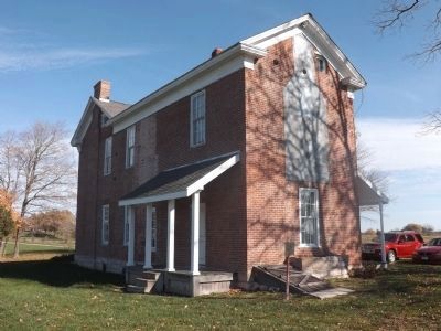
More about this marker. This historical marker is located on the south side of the house.
Additional keywords. Liberty Missouri
Photographed by Tony Meyers, November 1, 2014
2. Bell-Pharis Historic Marker on south side of house
Photographed by Tony Meyers, November 1, 2014
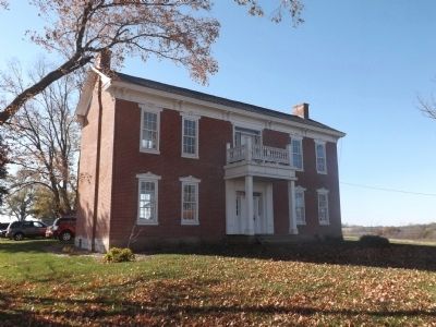
3. Bell-Pharis House
Photographed by Tony Meyers, November 1, 2014
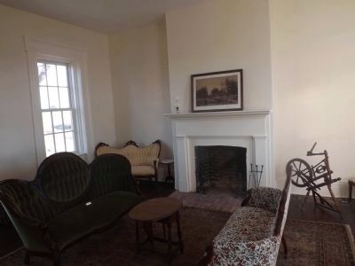
4. Bell-Pharis House Interior
Photographed by Tony Meyers, November 1, 2014
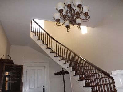
5. Bell-Pharis House Staircase
Photographed by Tony Meyers, November 1, 2014
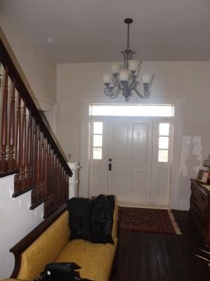
6. Bell-Pharis House - Front entryway
Photographed by Tony Meyers, November 1, 2014
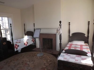
7. Bell-Pharis House - Upstairs Bedroom
Photographed by Tony Meyers, November 1, 2014
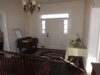
8. Bell-Pharis House - Upstairs Hall and Entryway
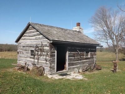
Photographed by Tony Meyers, November 1, 2014
9. Bell-Pharis House - Restored Log Cabin
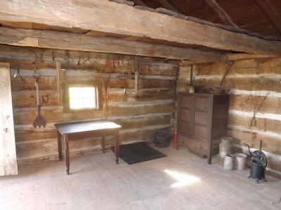
Photographed by Tony Meyers, November 1, 2014
10. Bell-Pharis House - Log Cabin Interior
Credits. This page was last revised on June 16, 2016. It was originally submitted on February 22, 2015, by Tony Meyers of Liberty, Missouri. This page has been viewed 862 times since then and 50 times this year. Photos: 1, 2, 3, 4, 5, 6, 7, 8, 9, 10. submitted on February 22, 2015, by Tony Meyers of Liberty, Missouri. • Al Wolf was the editor who published this page.
