Clay Center in Clay County, Kansas — The American Midwest (Upper Plains)
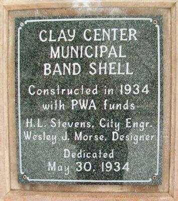
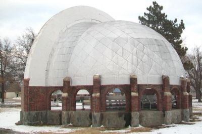
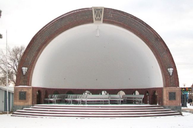
Clay Center Municipal Band Shell
with PWA funds
H.L. Stevens, City Engr.
Wesley J. Morse, Designer
Dedicated
May 30, 1934
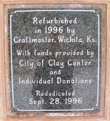
Refurbished
in 1996 by
Craftmaster, Wichita, Ks.
With funds provided by
City of Clay Center
and Individual Donations
Rededicated
Sept. 28, 1996
Erected 1996 by City of Clay Center and Concerned Citizens and Organizations.
Topics. This historical marker is listed in these topic lists: Arts, Letters, Music • Charity & Public Work • Entertainment. A significant historical month for this entry is May 1809.
Location. 39° 22.481′ N, 97° 7.426′ W. Marker is in Clay Center, Kansas, in Clay County. Marker is at the intersection of Grant Avenue and 6th Street (Kansas Highway 15), on the right when traveling east on Grant Avenue. Band Shell and markers are in Dexter Park. Touch for map. Marker is in this post office area: Clay Center KS 67432, United States of America. Touch for directions.
Other nearby markers. At least 7 other markers are within 11 miles of this marker, measured as the crow flies. M60 Tank (within shouting distance of this marker); Civil War Memorial (approx. 0.2 miles away); Clay County Veterans Memorial (approx. 0.2 miles away); Better Homes & Gardens' Highest Community Honor (approx. 0.3 miles away); Swedesburg Swedish Evangelical First Lutheran Church Cemetery (approx. 8.1 miles away); Founders of St. John's Parish in 1874 (approx. 11 miles away); St. John's Episcopal Church (approx. 11.1 miles away).
Credits. This page was last revised on September 1, 2020. It was originally submitted on February 23, 2015, by William Fischer, Jr. of Scranton, Pennsylvania. This page has been viewed 386 times since then and 34 times this year. Photos: 1, 2, 3, 4. submitted on February 23, 2015, by William Fischer, Jr. of Scranton, Pennsylvania.


