Bay St. Louis in Hancock County, Mississippi — The American South (East South Central)
St. Augustine’s Seminary
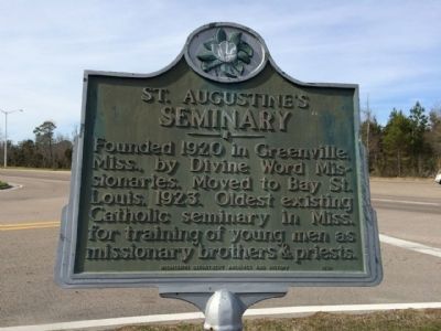
Photographed by Mark Hilton, February 19, 2015
1. St. Augustine’s Seminary Marker
Erected 1970 by the Mississippi Department of Archives and History.
Topics and series. This historical marker is listed in these topic lists: Education • Religion & Religious Structures. In addition, it is included in the Mississippi State Historical Marker Program series list. A significant historical year for this entry is 1920.
Location. 30° 19.199′ N, 89° 19.858′ W. Marker is in Bay St. Louis, Mississippi, in Hancock County. It is at the intersection of U.S. 90 and Seminary Drive, on the right when traveling east on U.S. 90. Touch for map. Marker is at or near this postal address: Seminary Drive, Bay Saint Louis MS 39520, United States of America. Touch for directions.

Regionally, this marker is in the American South, specifically in the Deep South, and on the Gulf Coast. Globally, it is in North America, a Gulf of Mexico state, the Western Hemisphere, the Western World, and the Anglosphere. Historically,
this page online
Other nearby markers. At least 8 other markers are within walking distance of this marker: Cedar Point (approx. 0.3 miles away); Publius Rutilius Rufus Pray (approx. 0.6 miles away); First Baptist Church of Bay St. Louis (approx. 0.7 miles away); Elmwood Manor (approx. 0.7 miles away); Jean Baptiste le Moyne Siuer de Bienville (approx. ¾ mile away); Hancock County Bank (approx. ¾ mile away); Old Shieldsborough (approx. ¾ mile away); 100 Men D.B.A. Hall (approx. ¾ mile away). Touch for a list and map of all markers in Bay St. Louis.
Another marker is no longer nearby. Naval Battle of Bay St. Louis (was approx. 0.6 miles away but has been replaced with another marker now near it).
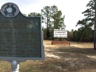
Photographed by Mark Hilton, February 19, 2015
2. St. Augustine’s Seminary Marker & entrance sign
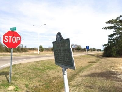
Photographed by Mark Hilton, February 19, 2015
3. The view east down Highway 90 from marker.
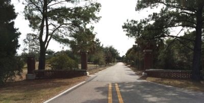
Photographed by Mark Hilton, February 19, 2015
4. Seminary Drive leading to Seminary buildings
Credits. This page was last revised on June 16, 2016. It was originally submitted on February 24, 2015, by Mark Hilton of Montgomery, Alabama. This page has been viewed 671 times since then and 21 times this year. Photos: 1, 2, 3, 4. submitted on February 24, 2015, by Mark Hilton of Montgomery, Alabama.
