Long Beach in Harrison County, Mississippi — The American South (East South Central)
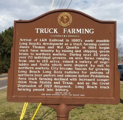
Truck Farming
Photographed by Mark Hilton, February 22, 2015
1. Truck Farming Marker
Erected 2005 by the Long Beach Historical Society and Regions Bank.
Topics. This historical marker is listed in these topic lists: Horticulture & Forestry • Industry & Commerce • Railroads & Streetcars. A significant historical year for this entry is 1884.
Location. 30° 21.781′ N, 89° 9.193′ W. Marker is in Long Beach, Mississippi, in Harrison County. It is at the intersection of Klondyke Road and North Cleveland
this page online

Regionally, this marker is in the American South, specifically in the Deep South, and on the Gulf Coast. Globally, it is in North America, a Gulf of Mexico state, the Western Hemisphere, the Western World, and the Anglosphere. Historically, it finds itself in what was once New Spain, the Viceroyalty of New France, the territory of the Mississippian Culture, one of the Confederate States of America, and the Antebellum South.
Other nearby markers. At least 8 other markers are within walking distance of this marker: Long Beach Presbyterian Church (approx. 0.9 miles away); Long Beach World War II Monument (approx. 0.9 miles away); Early Bank and Post Office (approx. 0.9 miles away); United Methodist Church (approx. 0.9 miles away); War Memorial Park (approx. 0.9 miles away); Long Beach Schools (approx. one mile away); City of Long Beach Centennial 1905-2005 (approx. one mile away); Hurricane Katrina / Storm Recovery (approx.
Photographed by Mark Hilton, February 22, 2015
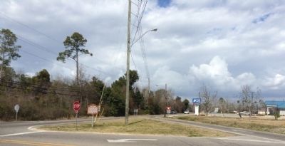
2. Truck Farming Marker at intersection.
Photographed by Mark Hilton, February 22, 2015
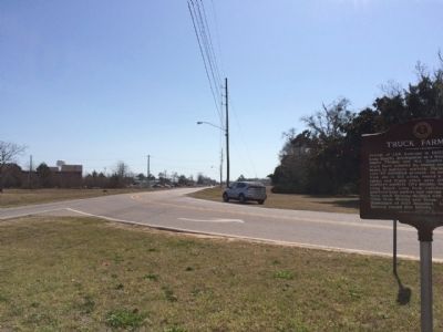
3. The view south on Cleveland Avenue.
Photographed by Mark Hilton, February 22, 2015
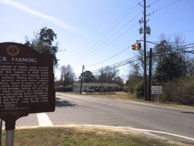
4. Looking south on Klondyke Road
Credits. This page was last revised on June 7, 2017. It was originally submitted on February 24, 2015, by Mark Hilton of Montgomery, Alabama. This page has been viewed 506 times since then and 31 times this year. Photos: 1, 2, 3, 4. submitted on February 24, 2015, by Mark Hilton of Montgomery, Alabama.
