St. Leonard in Calvert County, Maryland — The American Northeast (Mid-Atlantic)
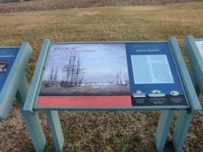
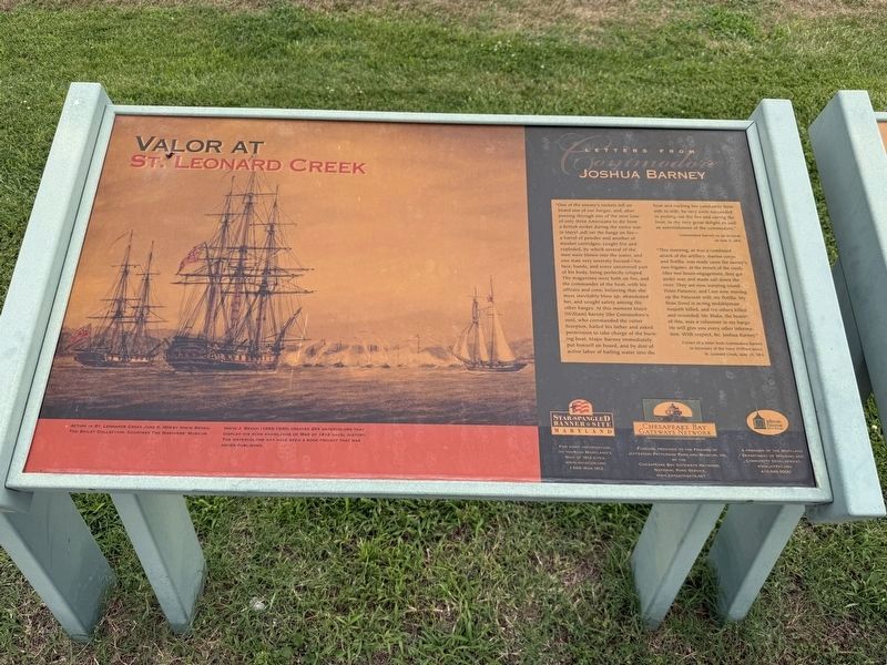
Valor at St. Leonard Creek
Letters from Commodore Joshua Barney
Photographed by Don Morfe, February 10, 2015
1. Valor at St. Leonard Creek Marker
–Commodore Barney
this page online
“This morning, at 4 am a combined attack of the artillery, marine corps and flotilla, as made upon the enemy’s two frigates, at the mouth of the creek. After two hours engagement, they got under way and made sail down river. They are now warping around Point Patience, and I am now moving up the Patuxent with my flotilla. My floss (loss) is acting midshipman Asquith killed, and ten others killed and wounded. Mr. Blake the bearer of this, was a volunteer in my barge. He will give you every other information. With respect, BC Joshua Barney,”
Extract of a letter from Commodore Barney to Secretary of the Navy William Jones, St. Leonard Creek, June 25, 1814.
[Caption:]
Action on St. Leonard Creek June 6, 1814 by Irwin Bevan, The Bailey Collection, Courtesy the Mariners’ Museum. Irwin J. Bevan (1852-1940) created 254 watercolors that display his keen knowledge of War of 1812 naval history. The watercolors may have been a book project that was never published.
Funding provided to the Friends of Jefferson Patterson Park and Museum, Inc. by the Chesapeake Bay Gateways Network.
Erected by Maryland Department
Photographed by Devry Becker Jones (CC0), August 1, 2026
2. Valor at St. Leonard Creek Marker
The marker has weathered significantly.
Topics. This historical marker is listed in this topic list: War of 1812. A significant historical month for this entry is June 1951.
Location. 38° 23.659′ N, 76° 30.416′ W. Marker is in St. Leonard, Maryland, in Calvert County. It is on Jefferson Patterson Park Road. Touch for map. Marker is in this post office area: Saint Leonard MD 20685, United States of America. Touch for directions.

Regionally, this marker is in Southern Maryland. It is also in the American South, specifically in the Upper South, in the Mid-Atlantic, in the Tidewater, in the Chesapeake Bay Region, and on the Eastern Seaboard. Globally, it is in the North Atlantic Region, North America, the Western Hemisphere, the Western World, and the Anglosphere. Historically, it finds itself in what was once one of the original Thirteen Colonies and also the Antebellum South.
Other nearby markers. At least 8 other markers are within walking distance of this marker: John Stuart Skinner (here, next to this marker); “The Commodore Can Beat Any…Barges…Sent Against Him” (here, next to this marker); Land Battle Evidence (here, next to
Photographed by Don Morfe, February 10, 2015
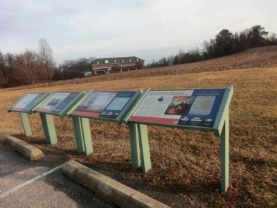
3. Valor at St. Leonard Creek Marker is one of the four markers shown above
Photographed by Don Morfe, February 10, 2015
4. Sign at the entrance to Jefferson Patterson Park and Museum
Credits. This page was last revised on August 2, 2026. It was originally submitted on February 24, 2015, by Don Morfe of Baltimore, Maryland. This page has been viewed 596 times since then and 29 times this year. Photos: 1. submitted on February 24, 2015, by Don Morfe of Baltimore, Maryland. 2. submitted on August 2, 2026, by Devry Becker Jones of Washington, District of Columbia. 3, 4. submitted on February 24, 2015, by Don Morfe of Baltimore, Maryland. • Bill Pfingsten was the editor who published this page.
